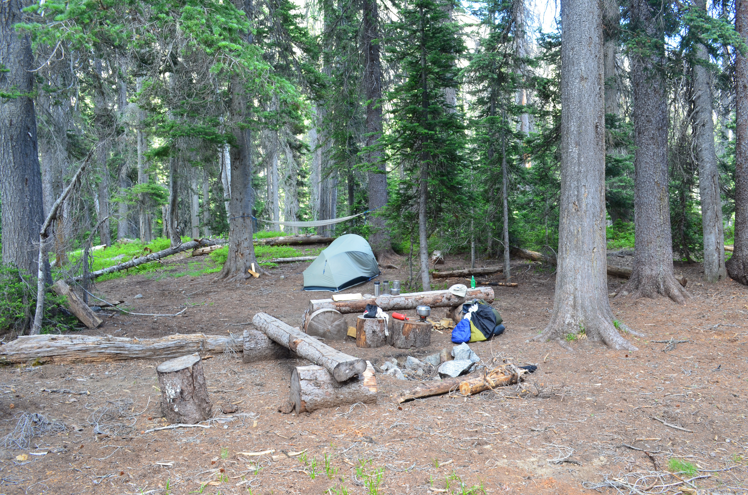
I setup camp in a nice grove of trees near where Aurora Creek drains into the Entiat River
Back in 2014 I was working at the Brewster VLBA Station. I took an extended weekend over the 4th of July and backpacked up into the nearby Entiat River Valley. After driving to the end of Entiat River Road I backpacked up the Entiat River Trail. The first bit isn't so good, what with the risk of being hit by an ATV. Once I got into the wilderness it was a lot better.
I setup camp in a nice grove of trees near where Aurora Creek drains into the Entiat River
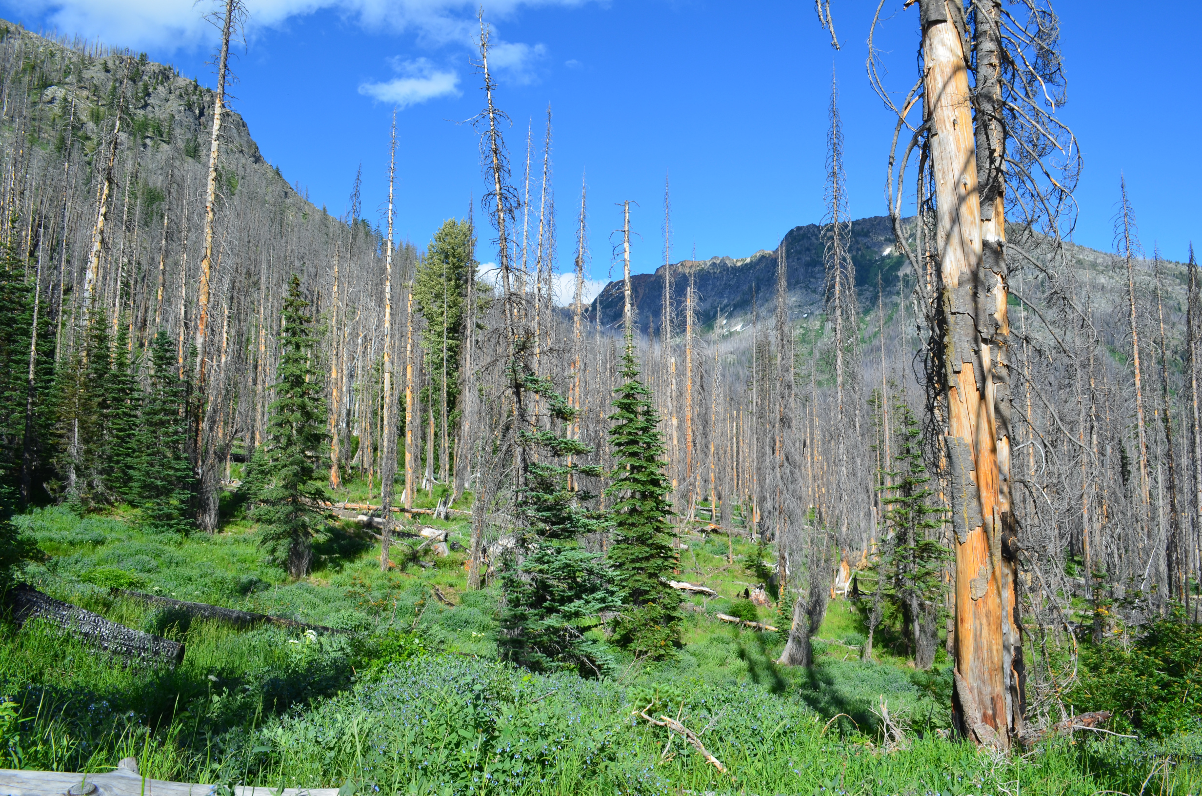
Finding a nice grove of trees was not exactly easy; most of this area burnt some years before. I camped in one of the few remaining groves of trees left in the area. The area to the north-east was hit the following year by the 2015 Wolverine fire. From what I can tell, most of what is pictured in this trip report was not burnt, but I am not entirely sure.
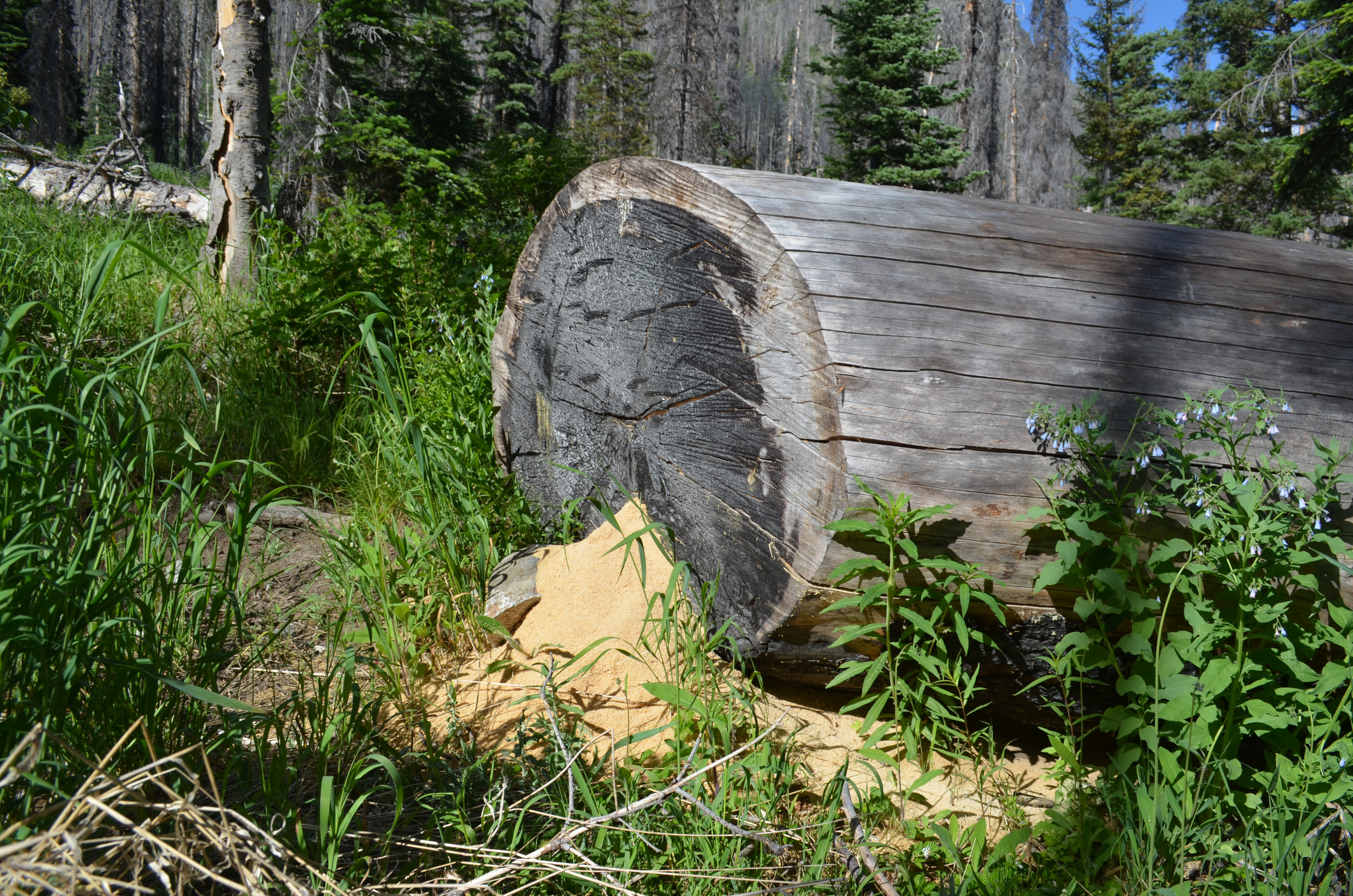
At least the burnt area was starting to recover. Life of all kinds had moved back in. Shown here, some industrious ants were busy hollowing out a large log. They had produced quite a pile of sawdust.
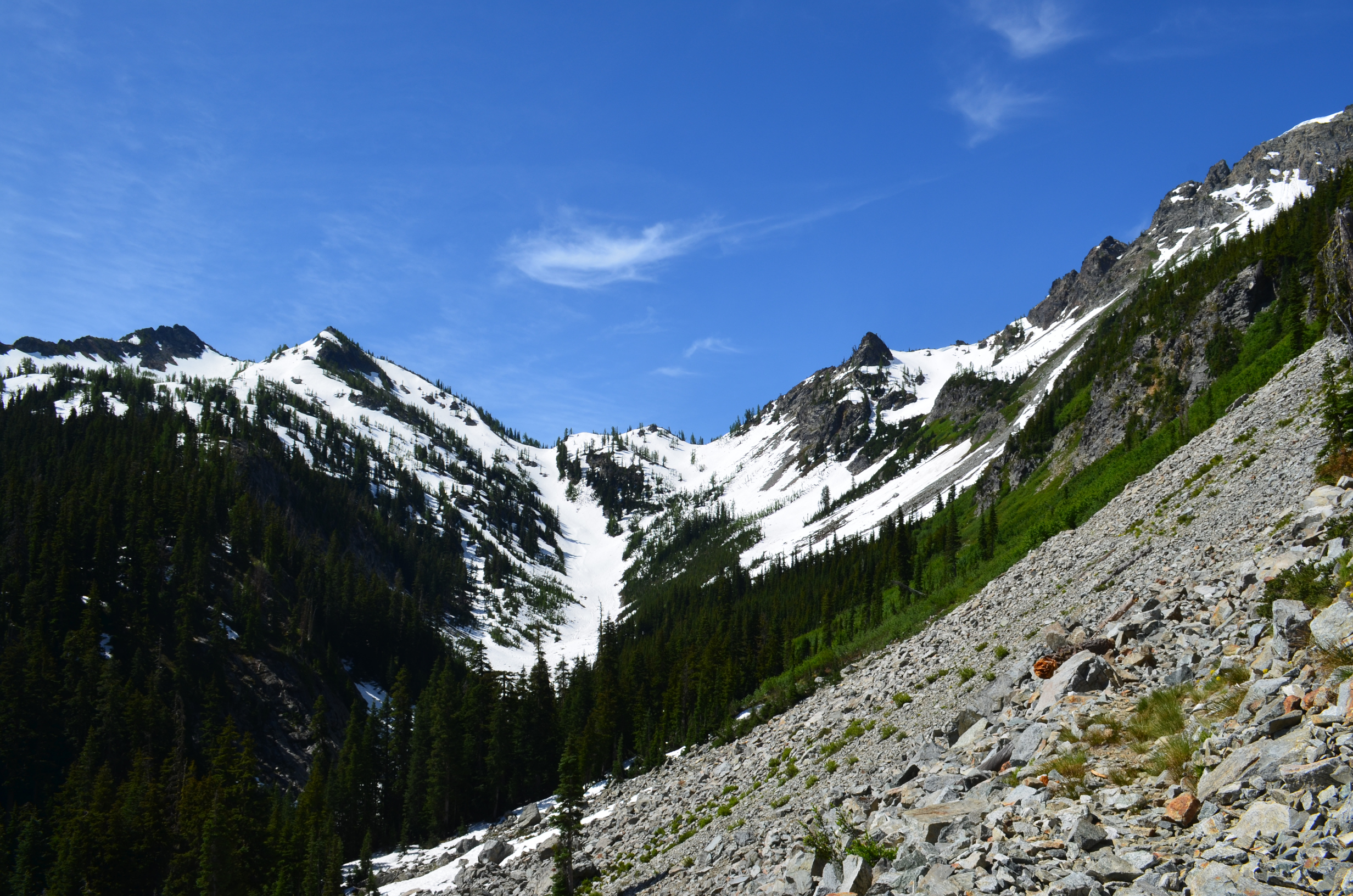
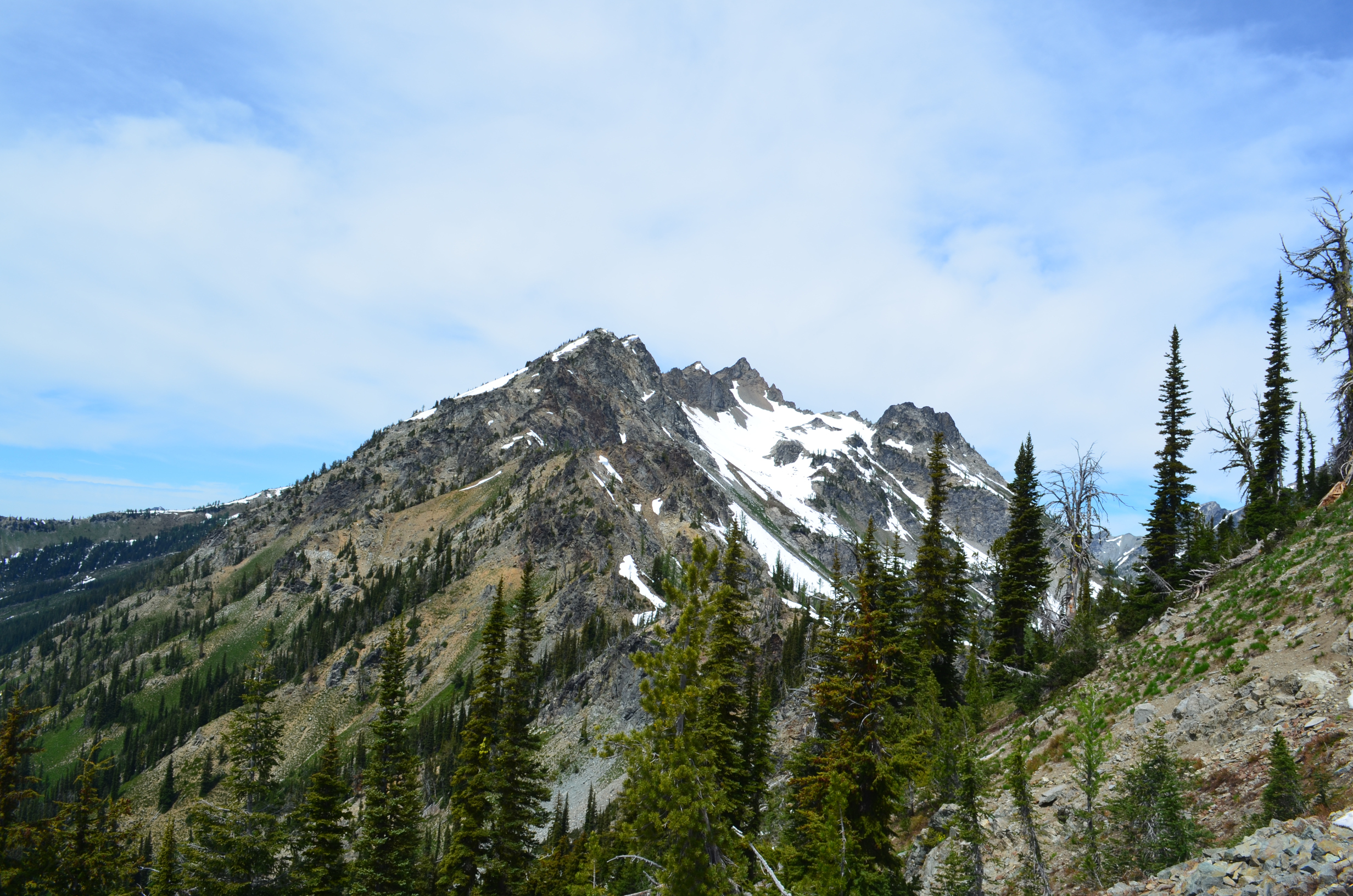
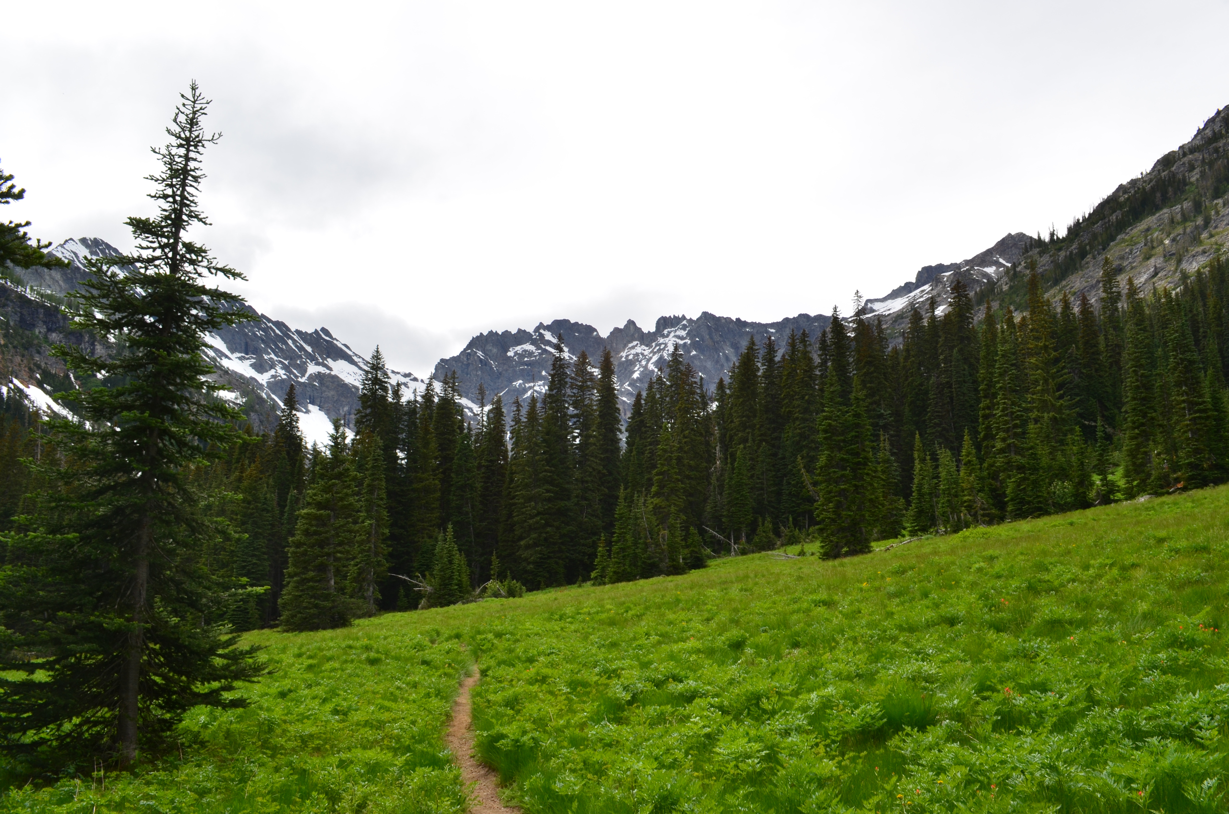
The next day I hiked up the Pomas Pass trail, over Pomas Pass, and on to Larch Lakes. Shown here is the climb up to Pomas Pass.
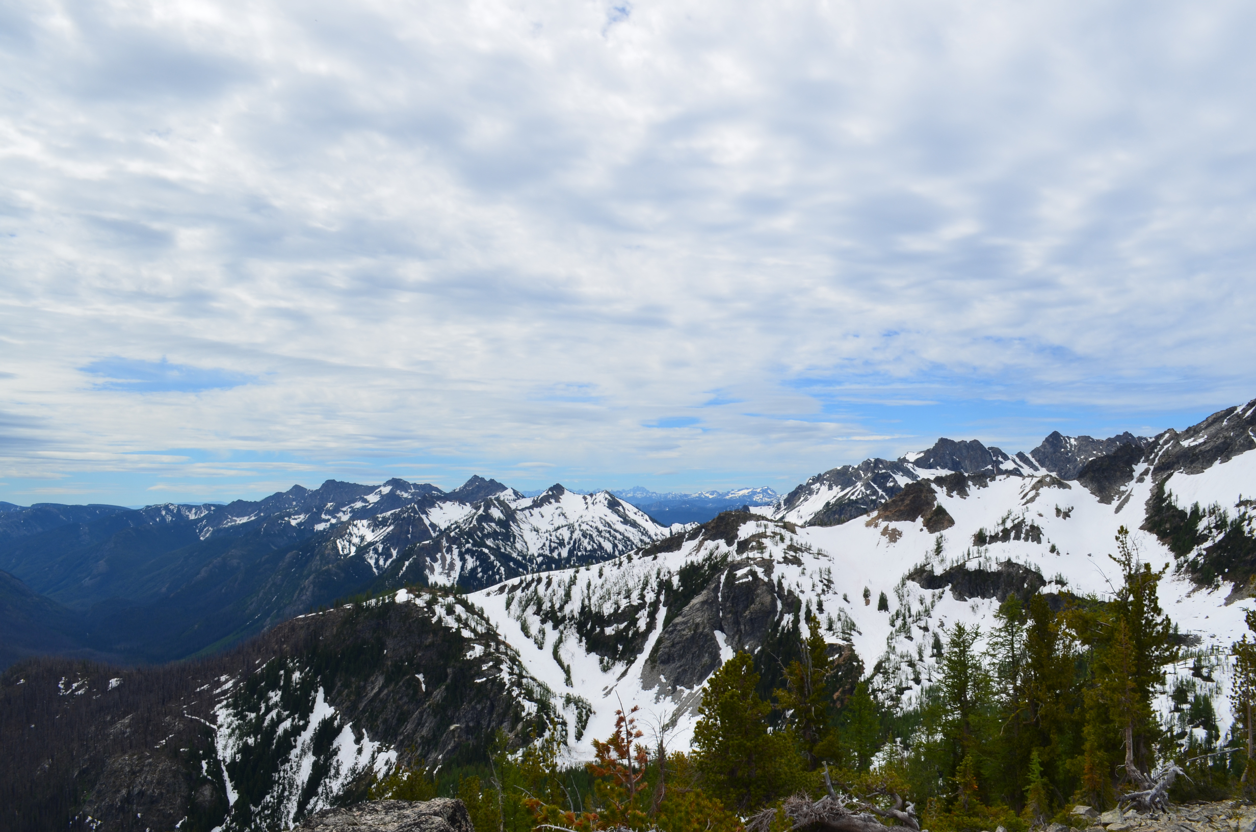
Past Pomas Pass, looking north along the ridge.
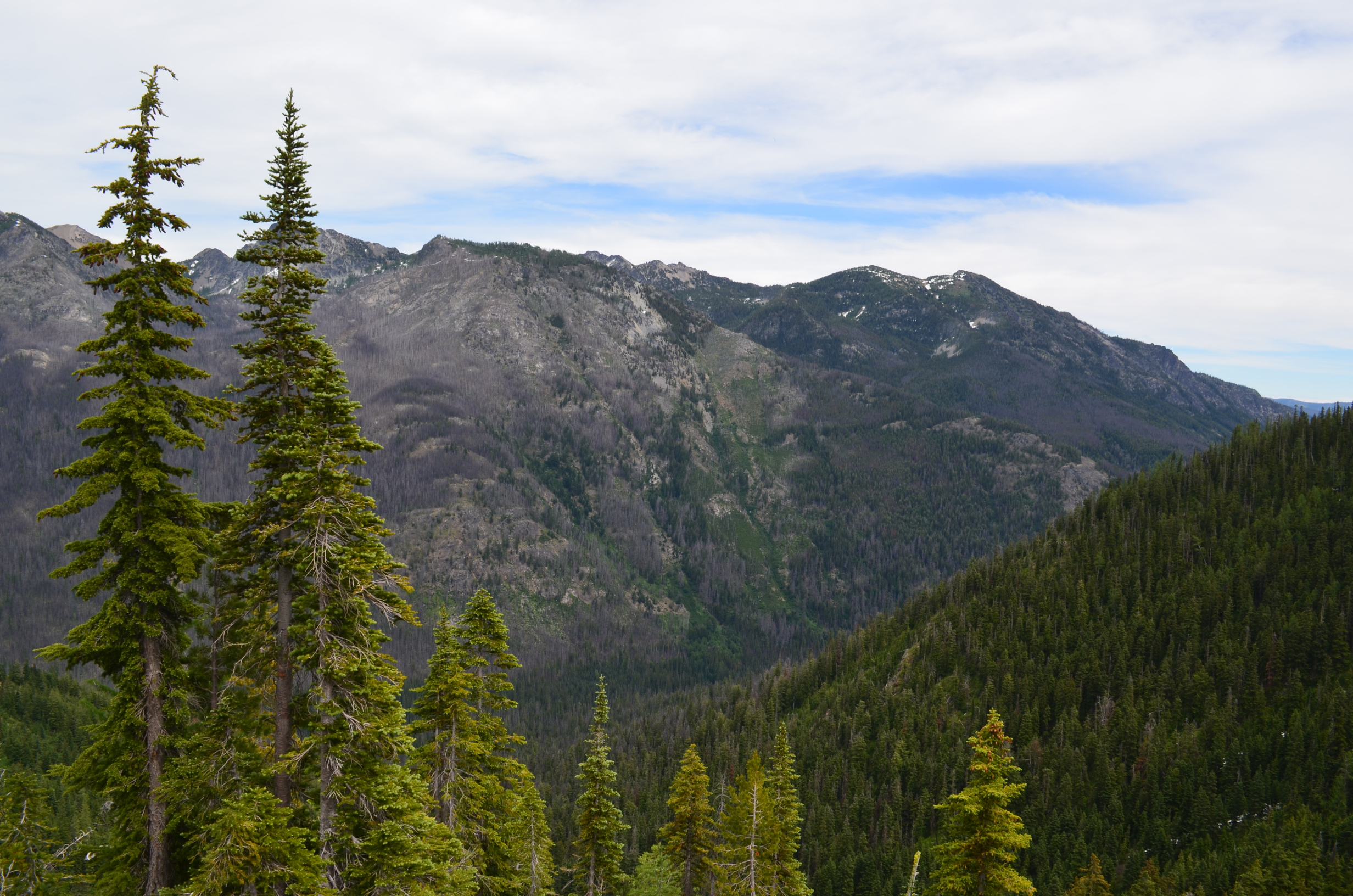
Looking across the Entiat Valley you can see more of the old burn.
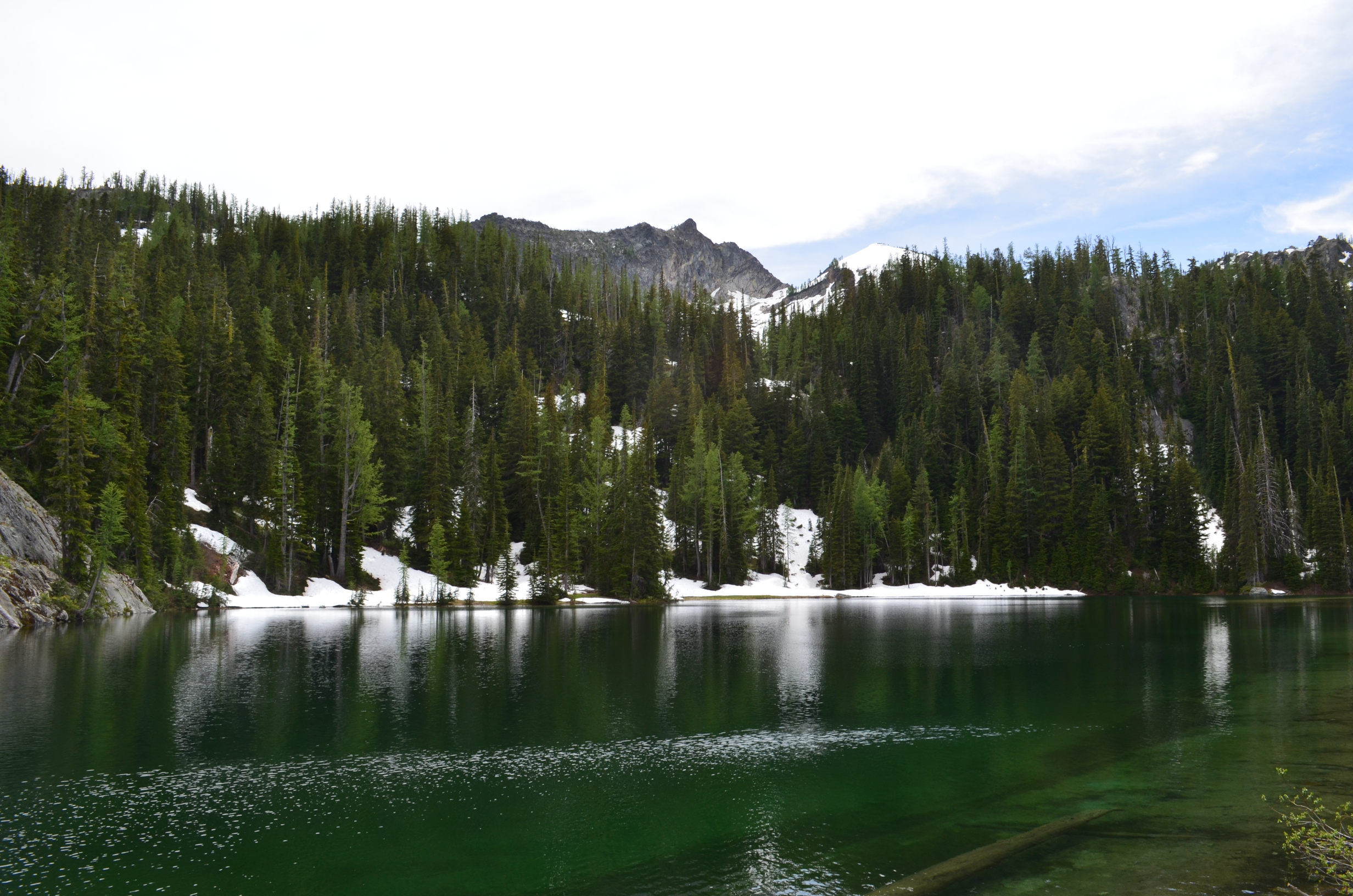
Lower Larch Lake was starting to melt out. Looks like a nice place to camp once the snow finishes melting.
When I got to the Entiat River I found that there was not an easy across. While I did manage to wade across, I don't recommend trying it when it is this deep. Consider alternatives like hiking to the bridge south of here. Or, if we are lucky, a log will fall across somewhere nearby. Later in the season it is probably OK to wade.
The next day I hiked up Cool Creek Trail. South Spectacle Butte looks like it lives up to its name. I need to go back and climb it some day.
The view from Cool Creek Trail provided some spectacles of its own. This is the view south looking toward Fifth of July Mountain.
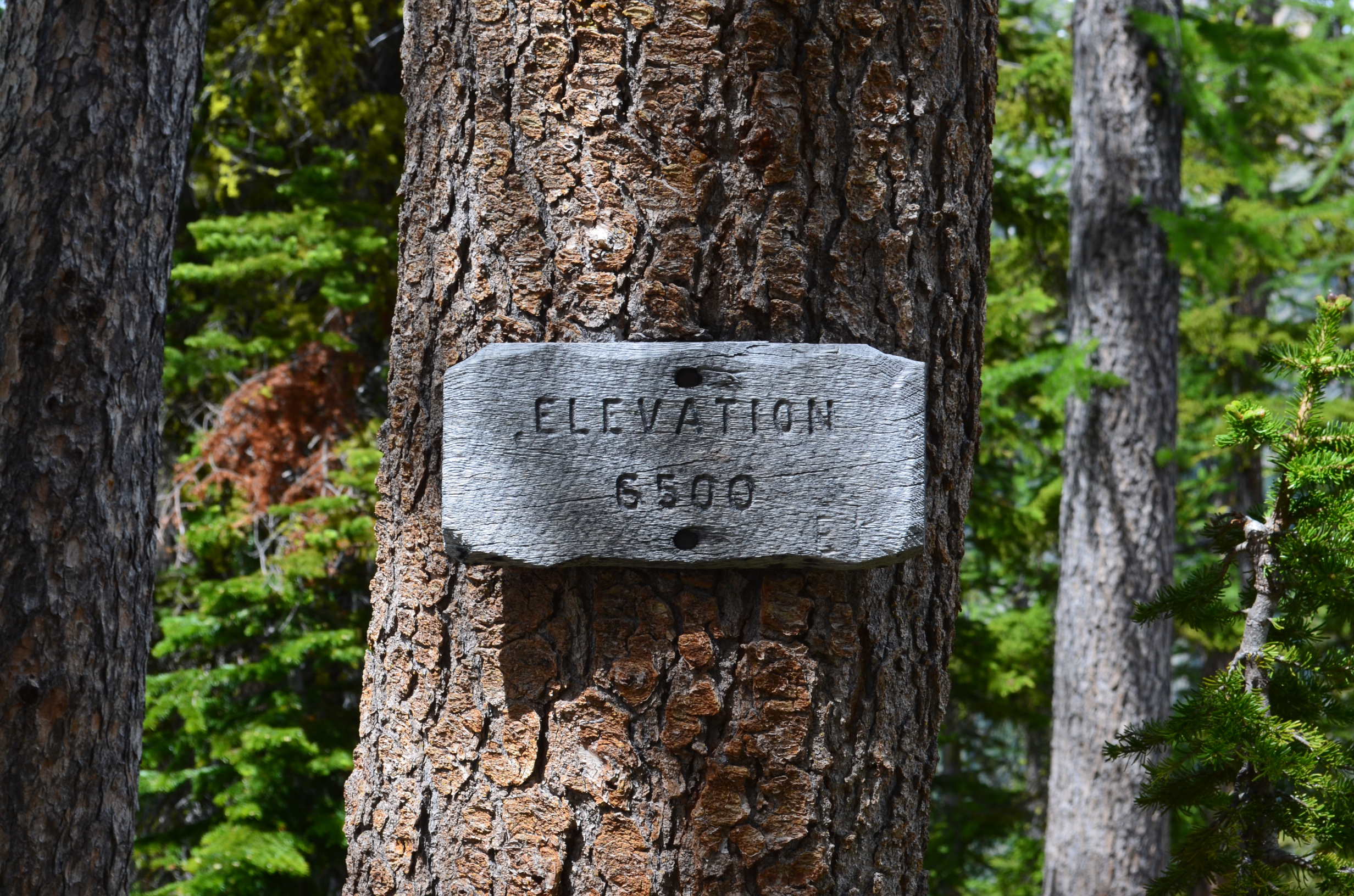
There are numerous elevation signs scattered about the Cascade Mountains in Washington State. Maybe they wanted to be sure people could follow elevation-based fire restrictions. Or maybe they wanted to be sure everybody knew how high they were.
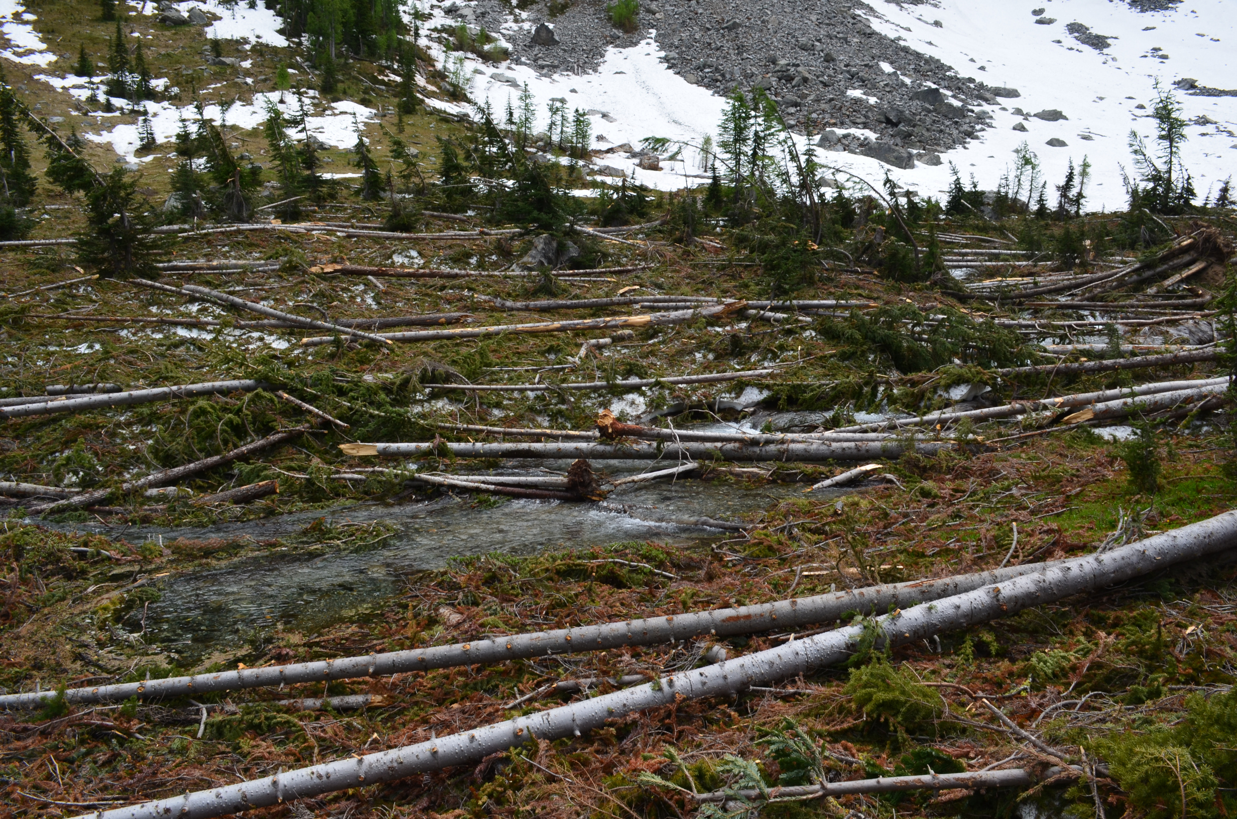
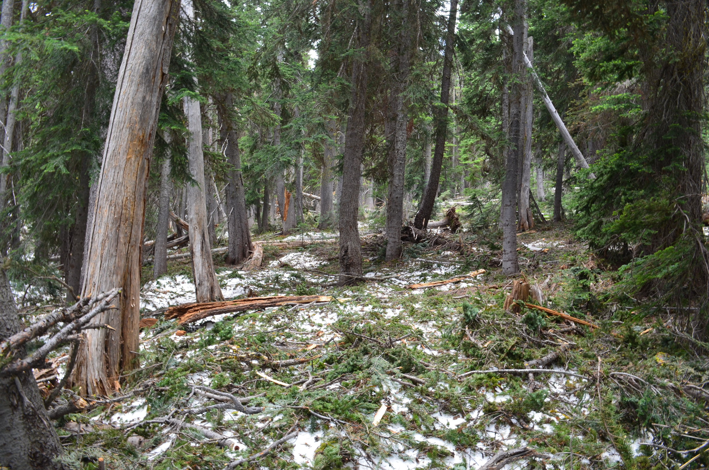
After coming down the north end of Cool Creek trail I hiked up the north end of Entiat River. Over the winter a snow slide tore out a bunch of the trees.
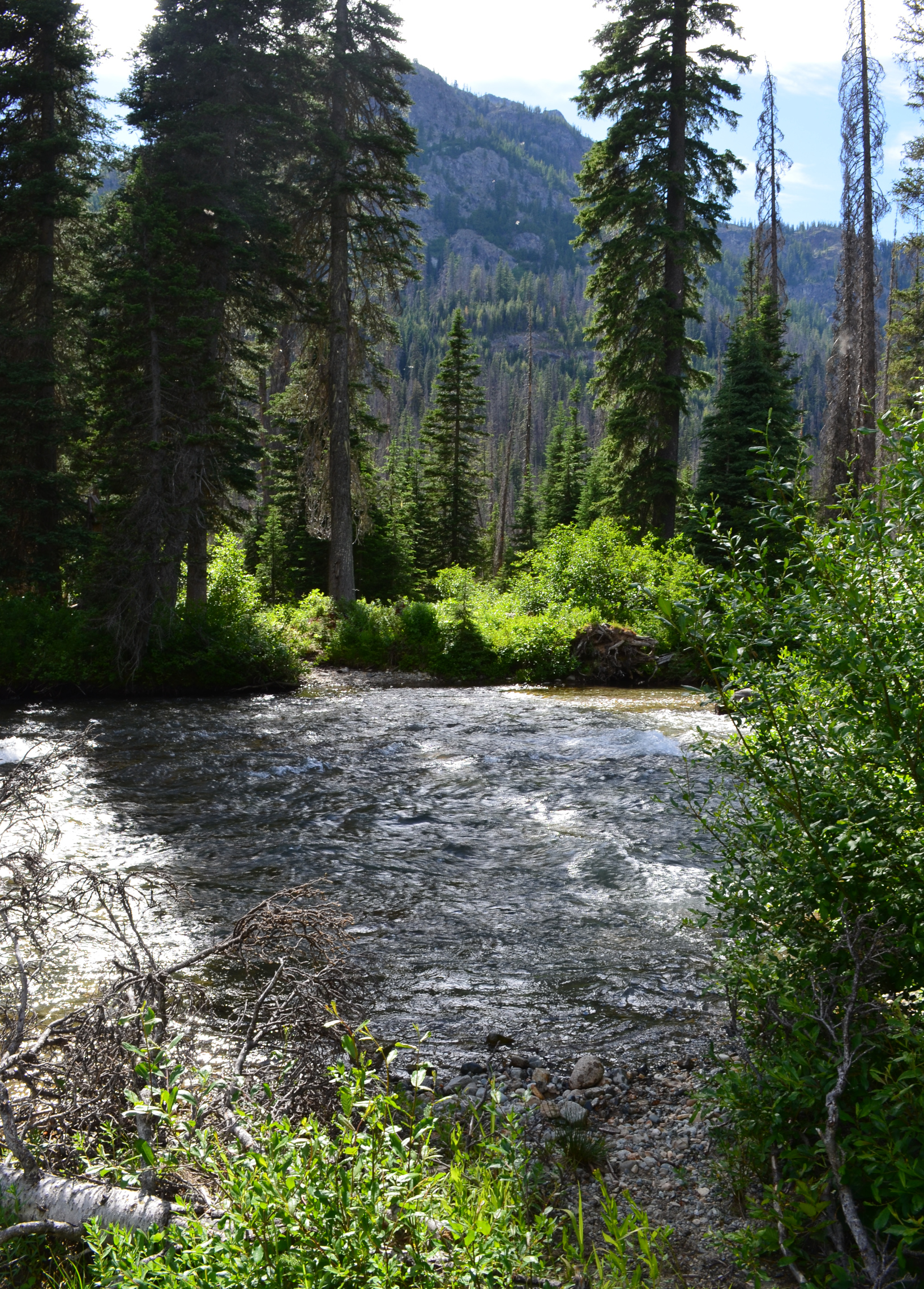
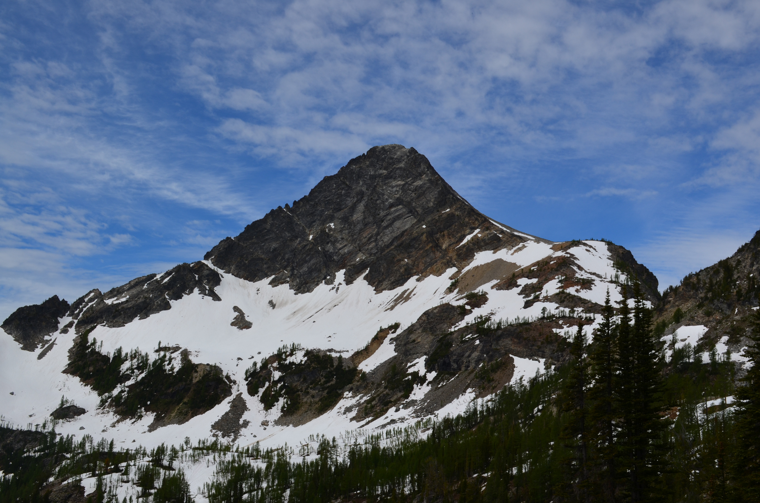
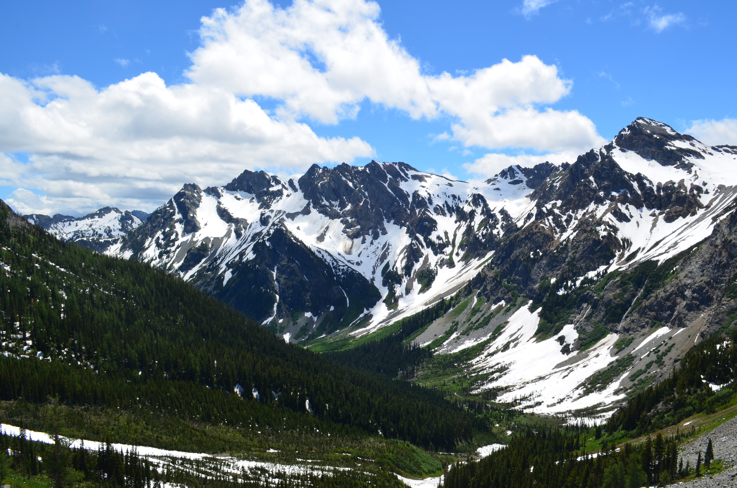
The upper Entiat river was not burnt (as of July 2014). It was a lot nicer of a place to hike. This view is looking up the valley toward Seven Fingered Jack.
Toward the top of the valley the trail was buried in snow and tree limbs. Time to head back to camp anyway.
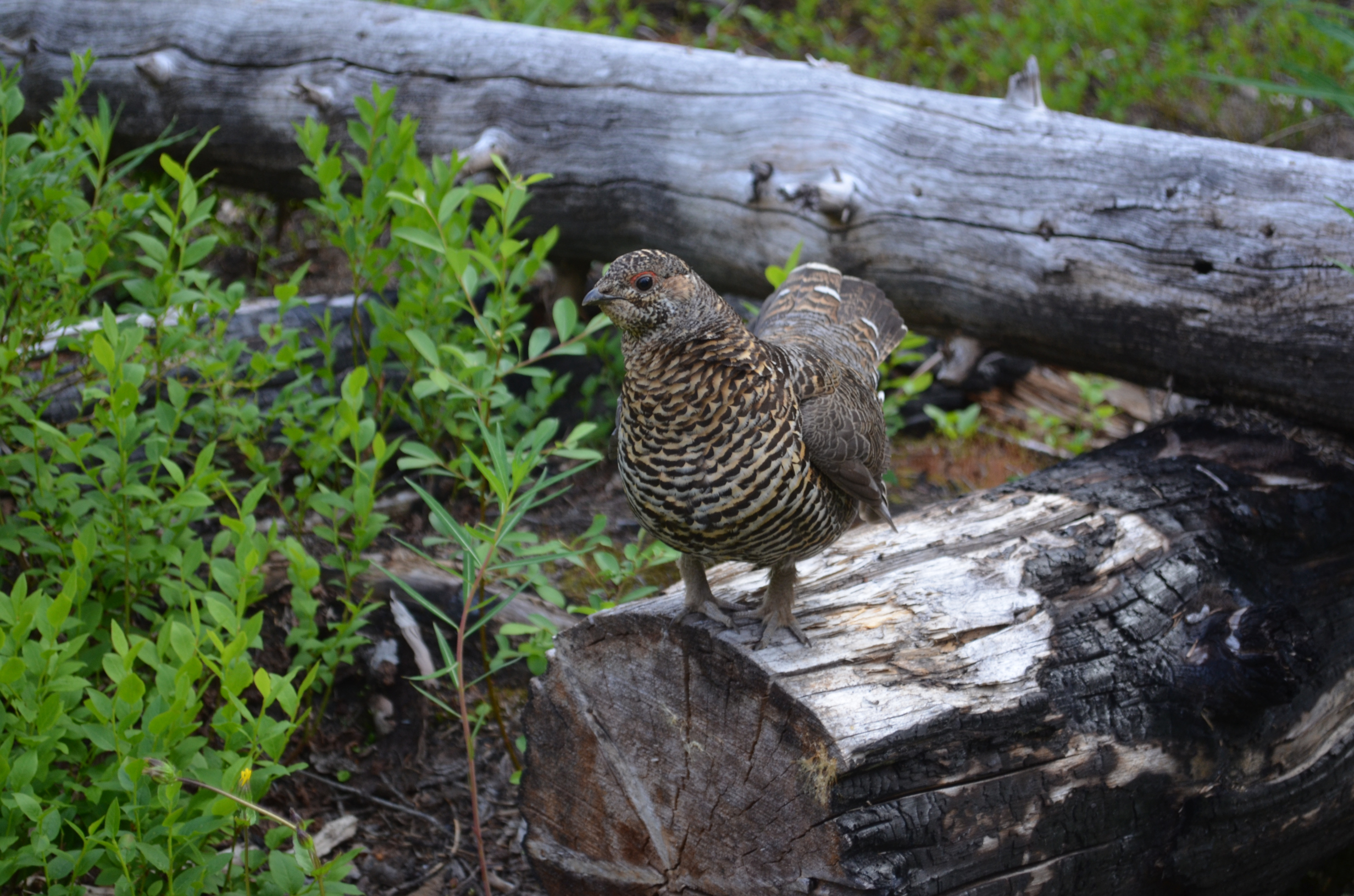
On the hike back to camp I noticed a bird hidden near the trail.
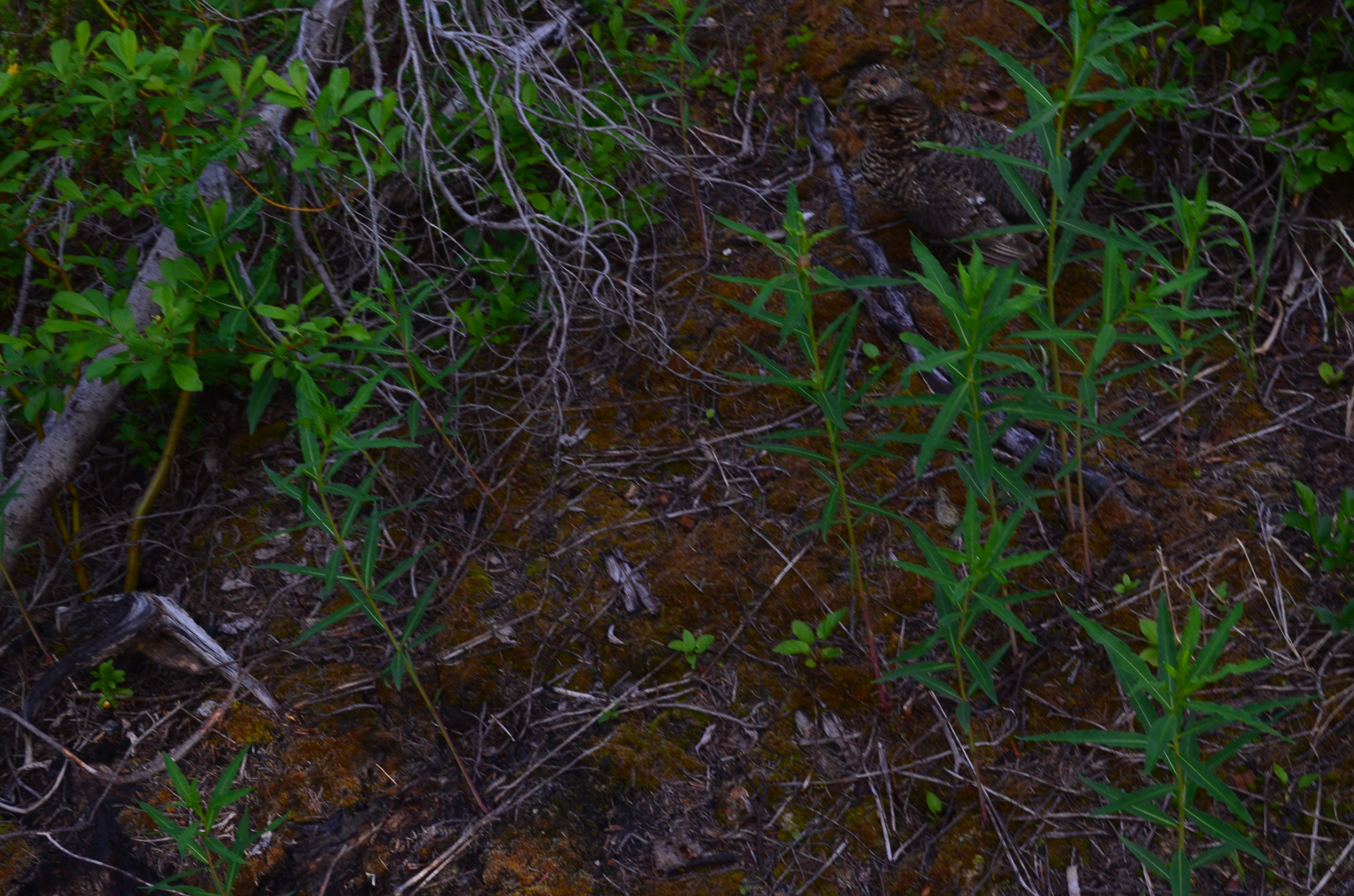
The bird didn't remain hidden long.
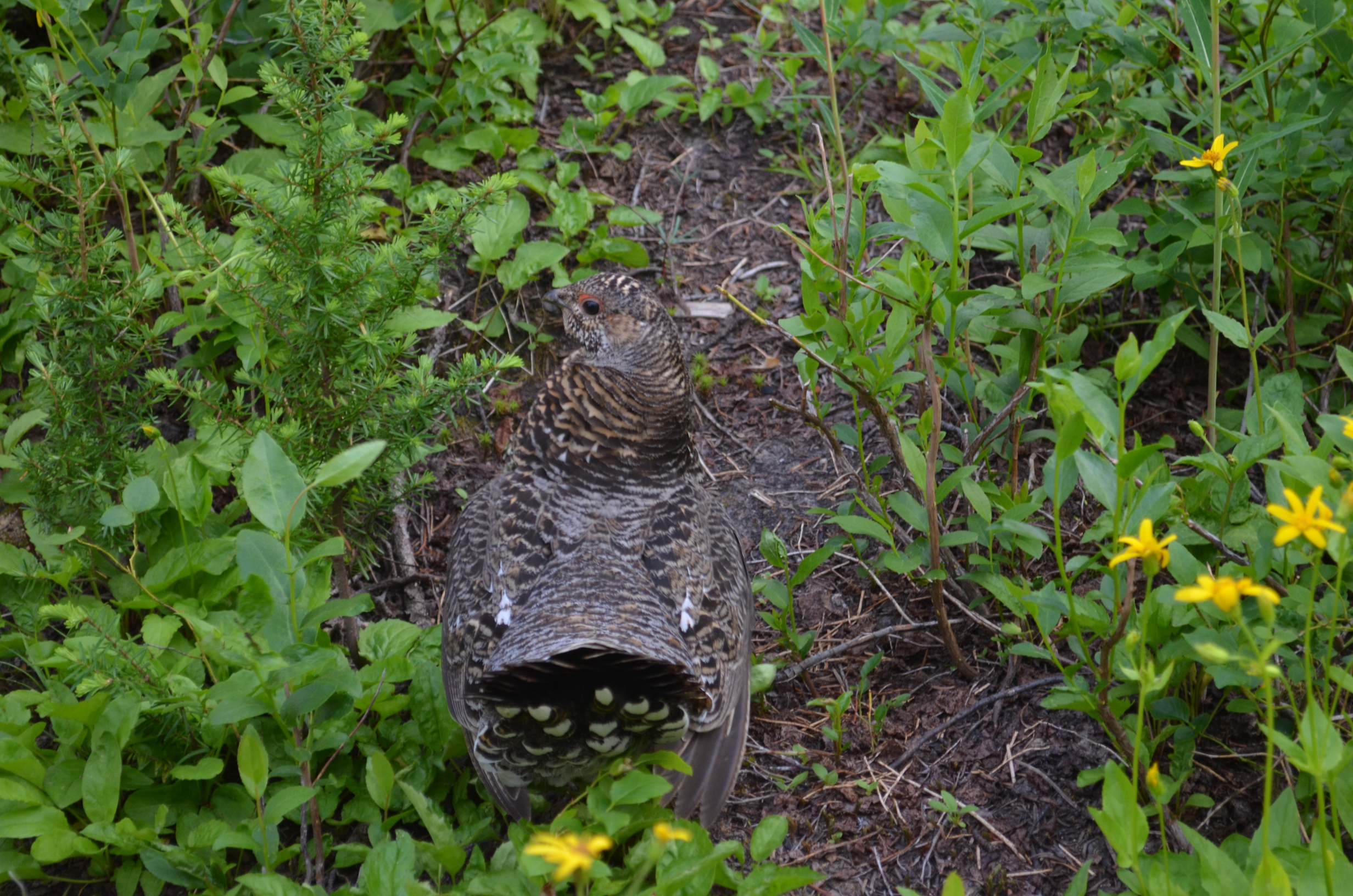
My best guess is that it is a spruce grouse, but I am not entirely sure.
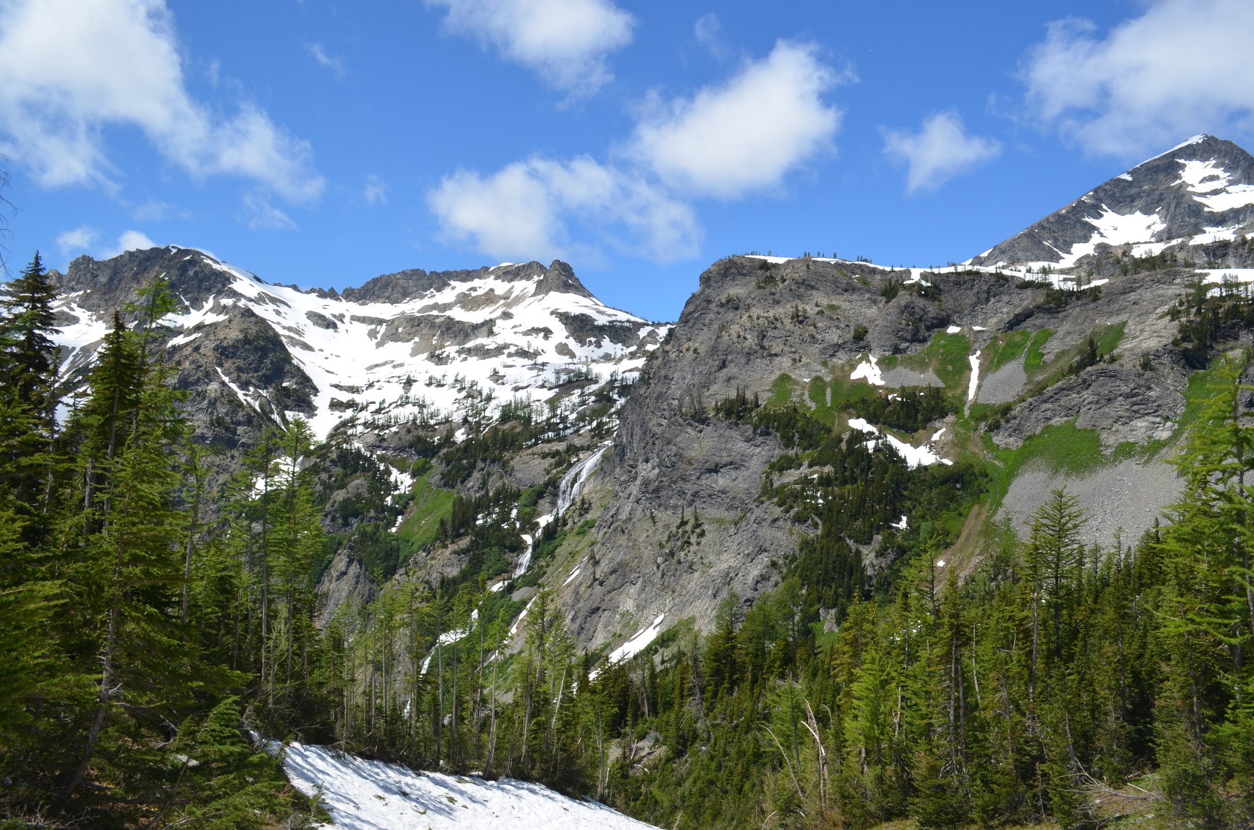
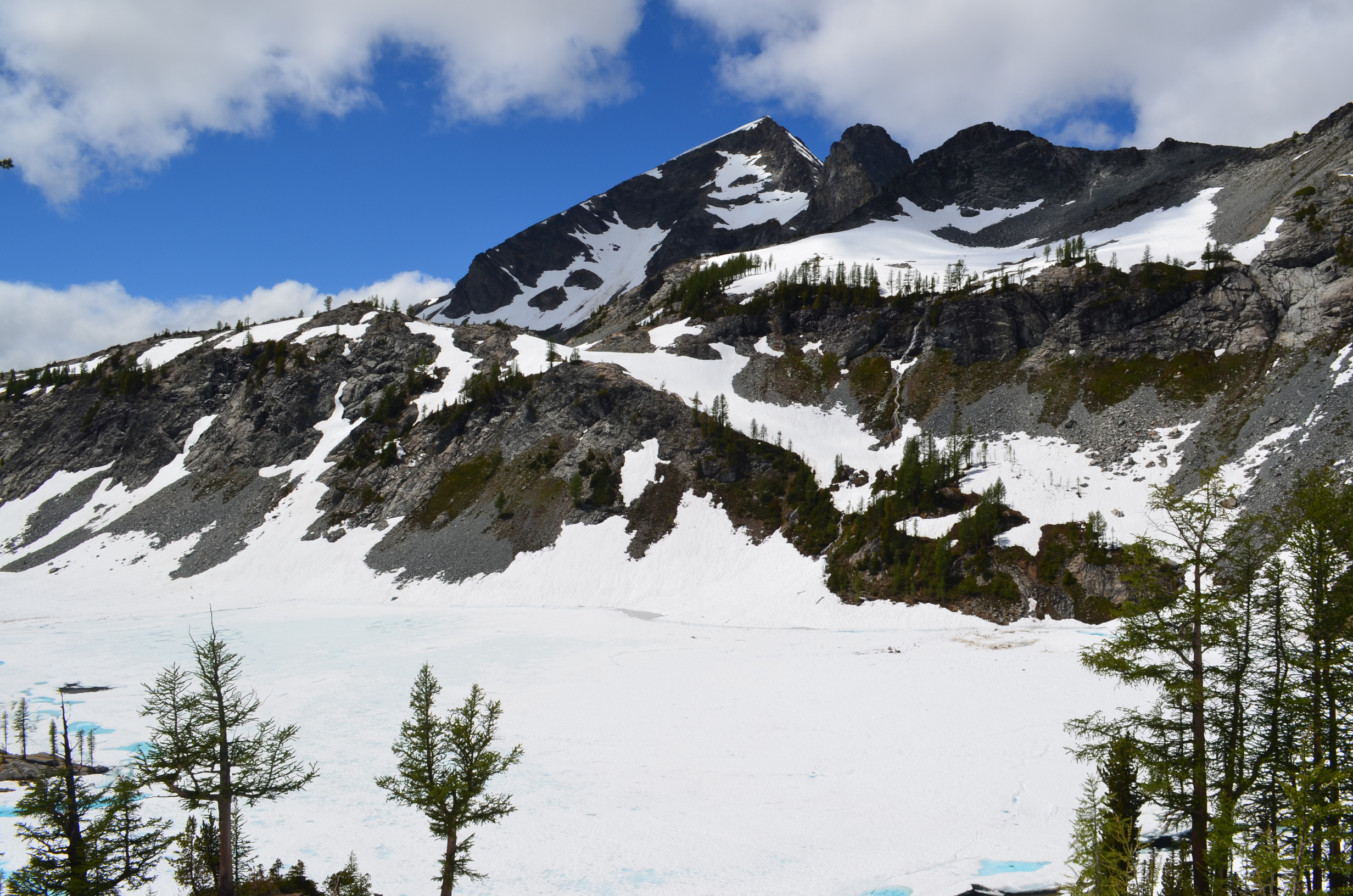
For my last day of exploring the area I hiked up Ice Creek. Once I got a ways up I was out of the burnt area and the views were great.
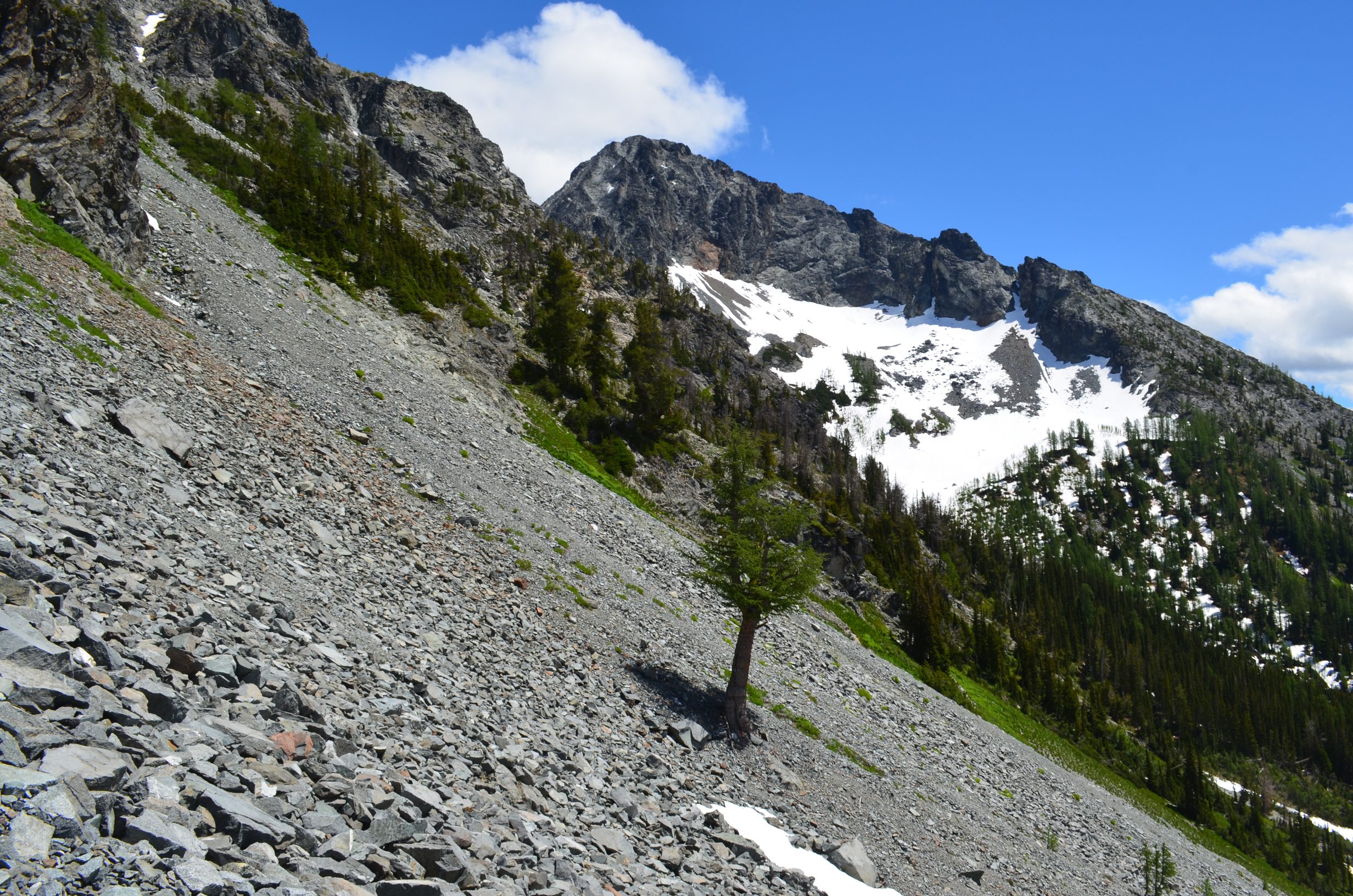
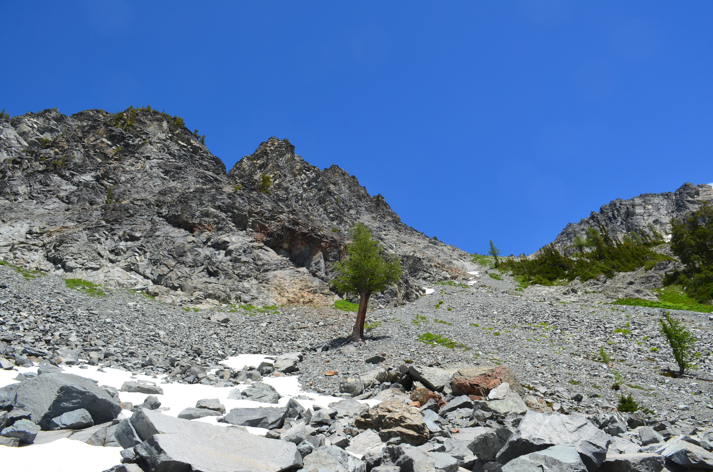
A lone tree in a field of rocks, partway up to Ice Lake.
I once ran across an artist that wanted to document every waterfall in Washington State. Which is one of the most enjoyable futile tasks I have heard of.
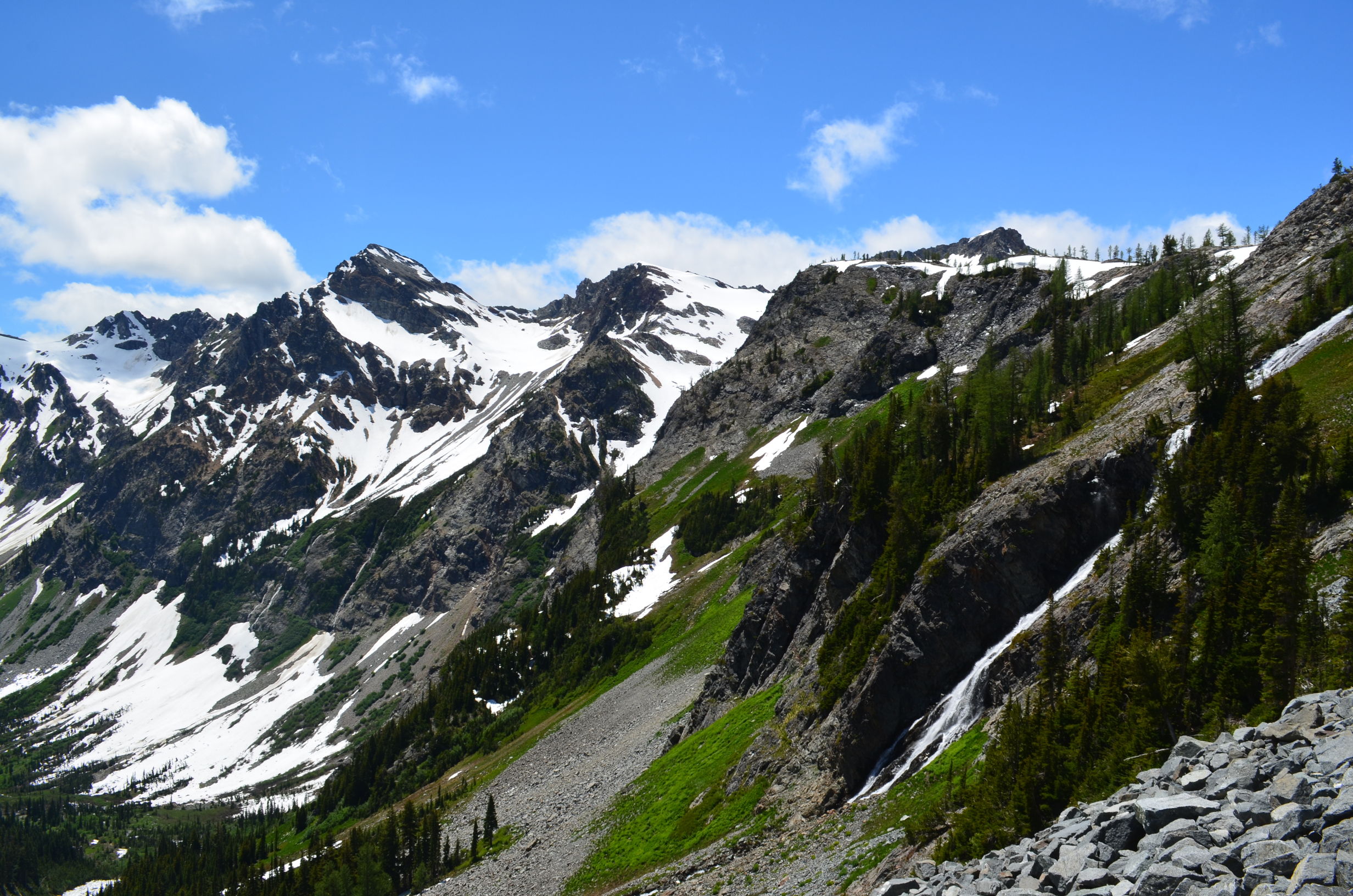
The view back down the valley as you approach Ice Lakes.
Lower Ice Lake lived up to its name!
I said farewell to the lone tree and headed back to camp.
The following day I had a mostly uneventful hike back to the car. I did meet two people caring rifles, bear spray, and knives. They were generally friendly, though I did not see any need for that quantity of armaments. I guess they will be well prepared if they run into a flock of vicious attack carnivorous spruce grouse.
Last Updated: 4 July 2020; Original Posting.
© David C. Hunter, 2014-2020
fb {at) dragonsdawn (dot] org
![]()
