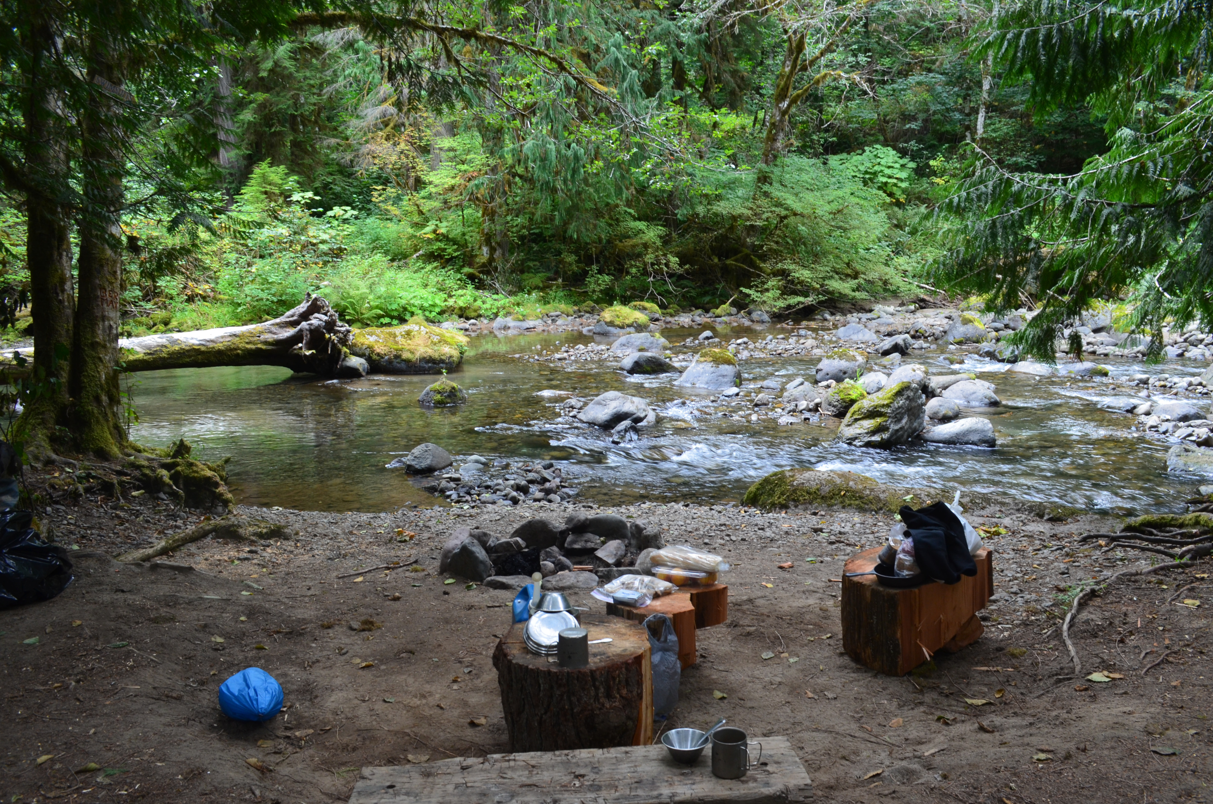
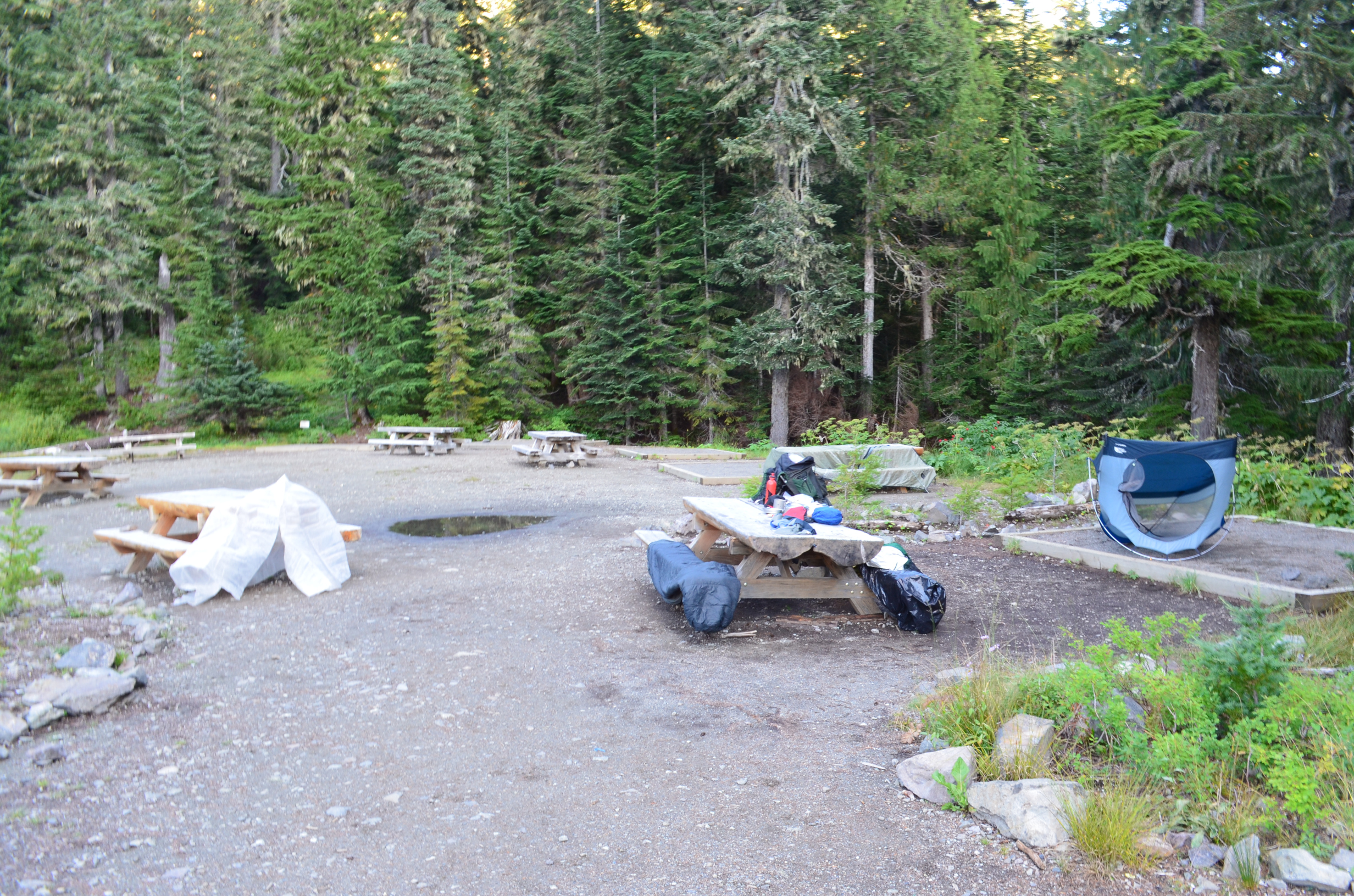
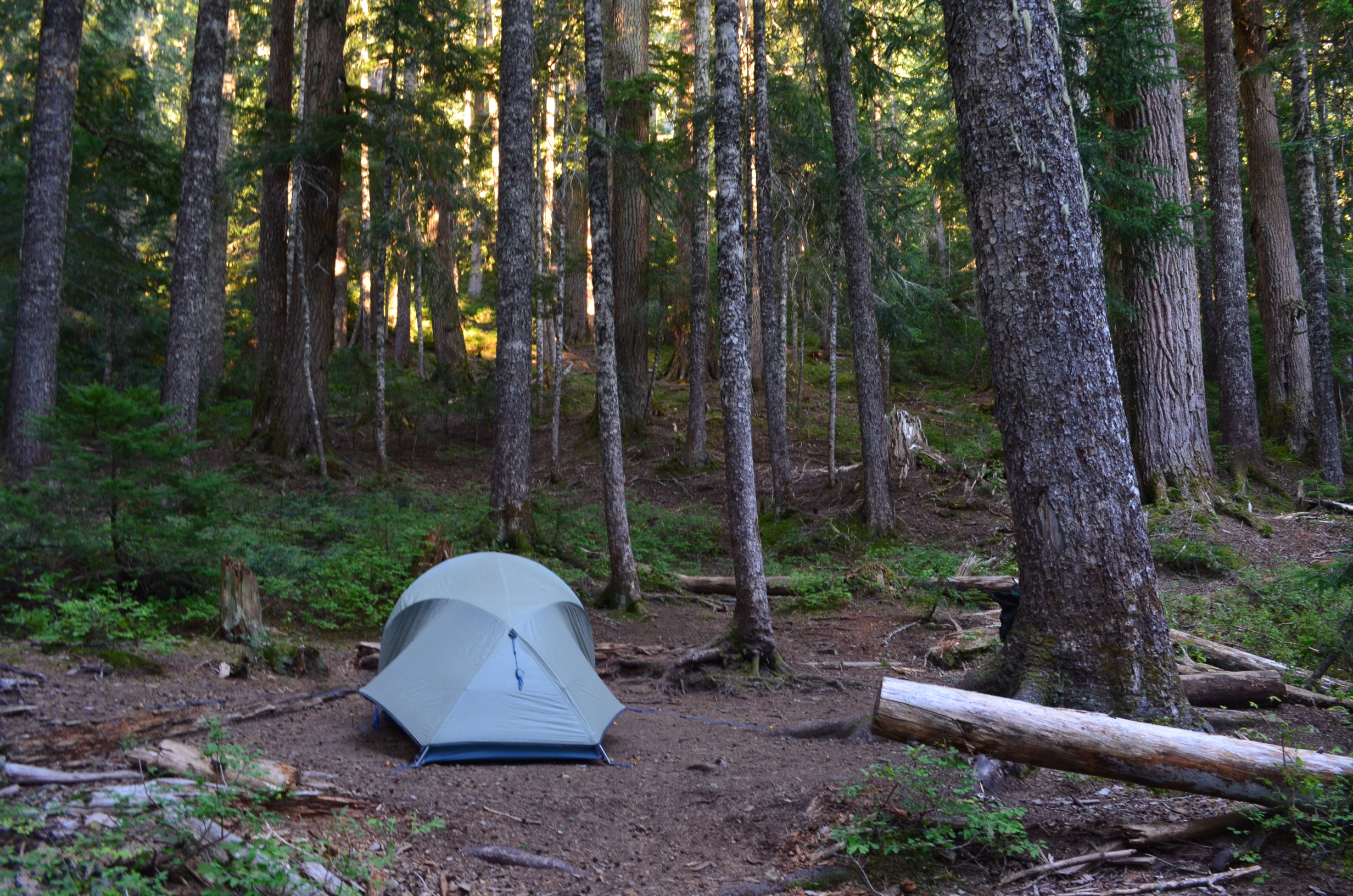
Genevieve and I found a great spot to car camp at Johnson Creek. We spent the weekend there and enjoyed a short hike part way up Angry Mountain Trail.
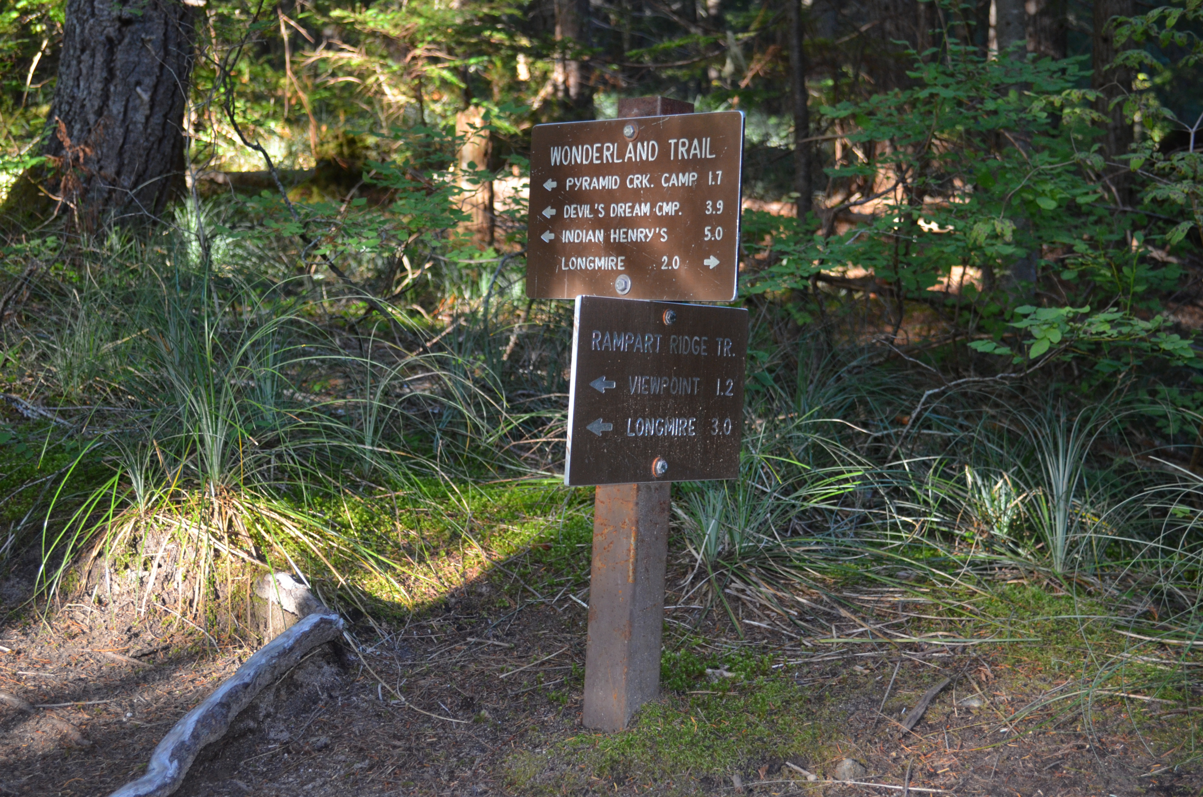
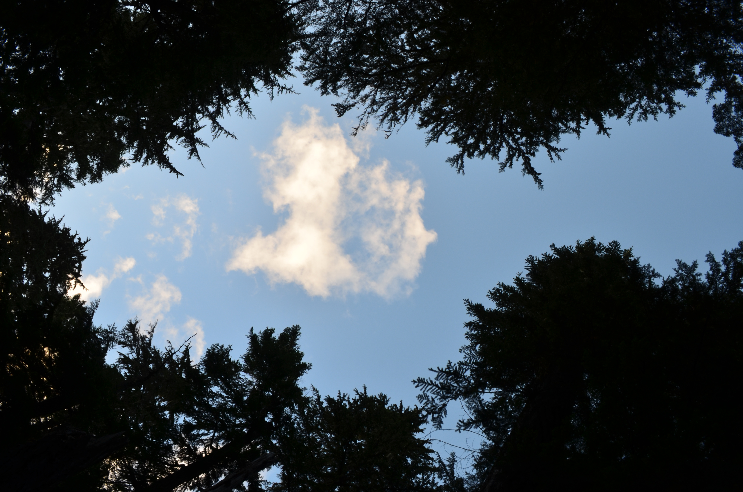
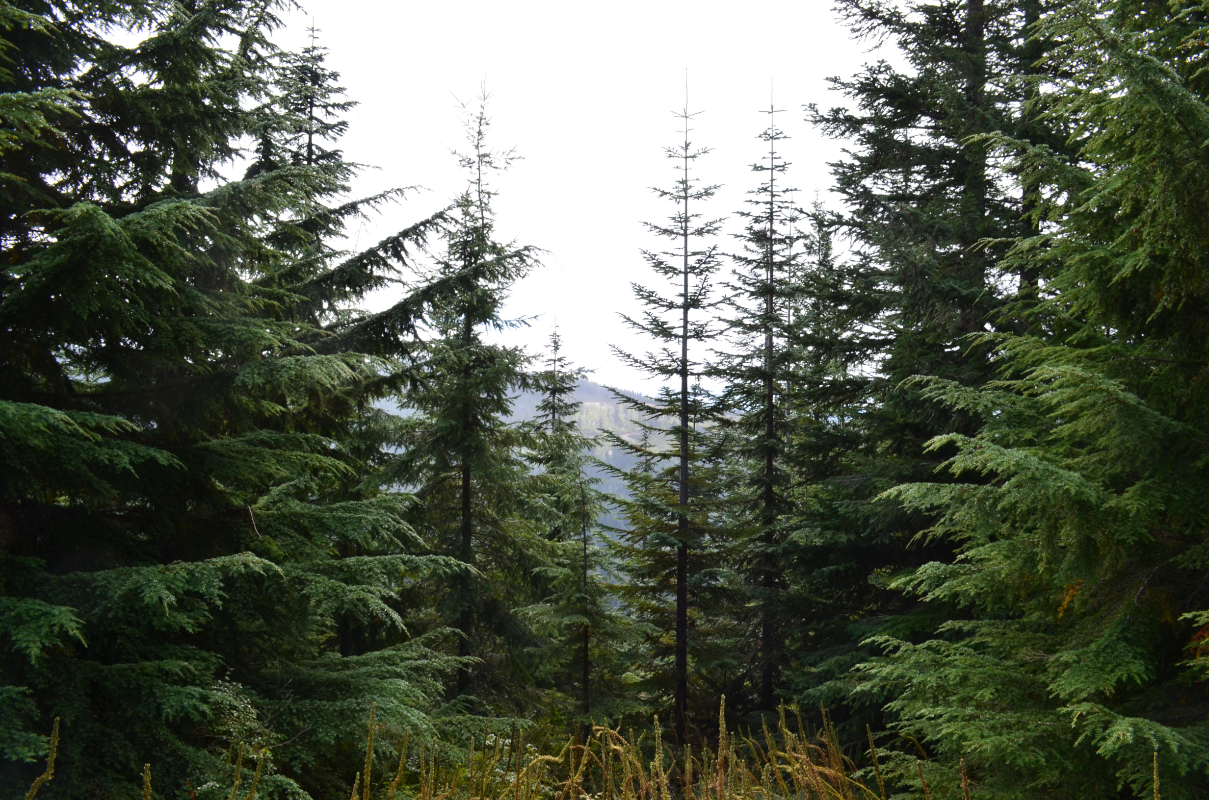
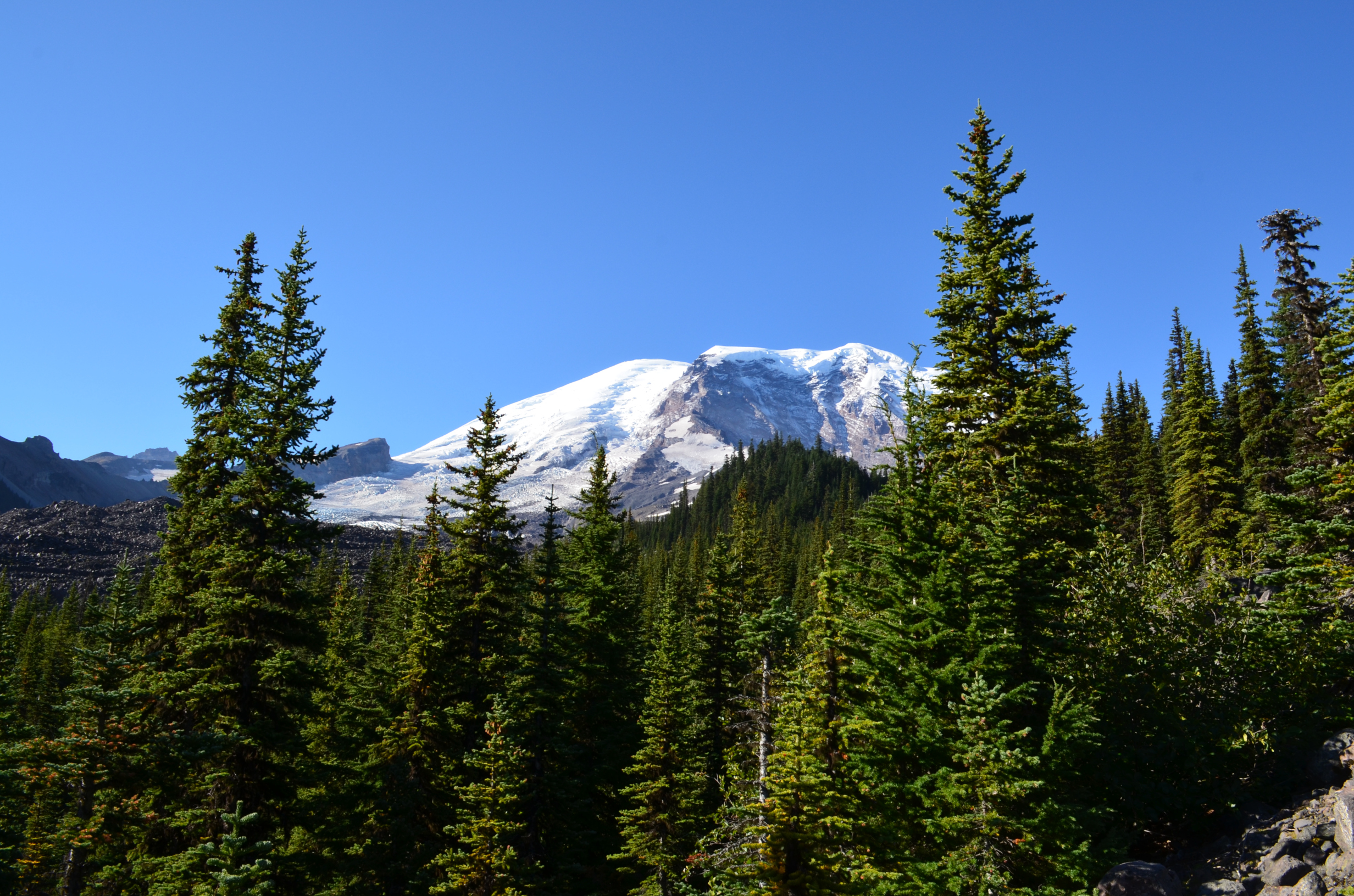
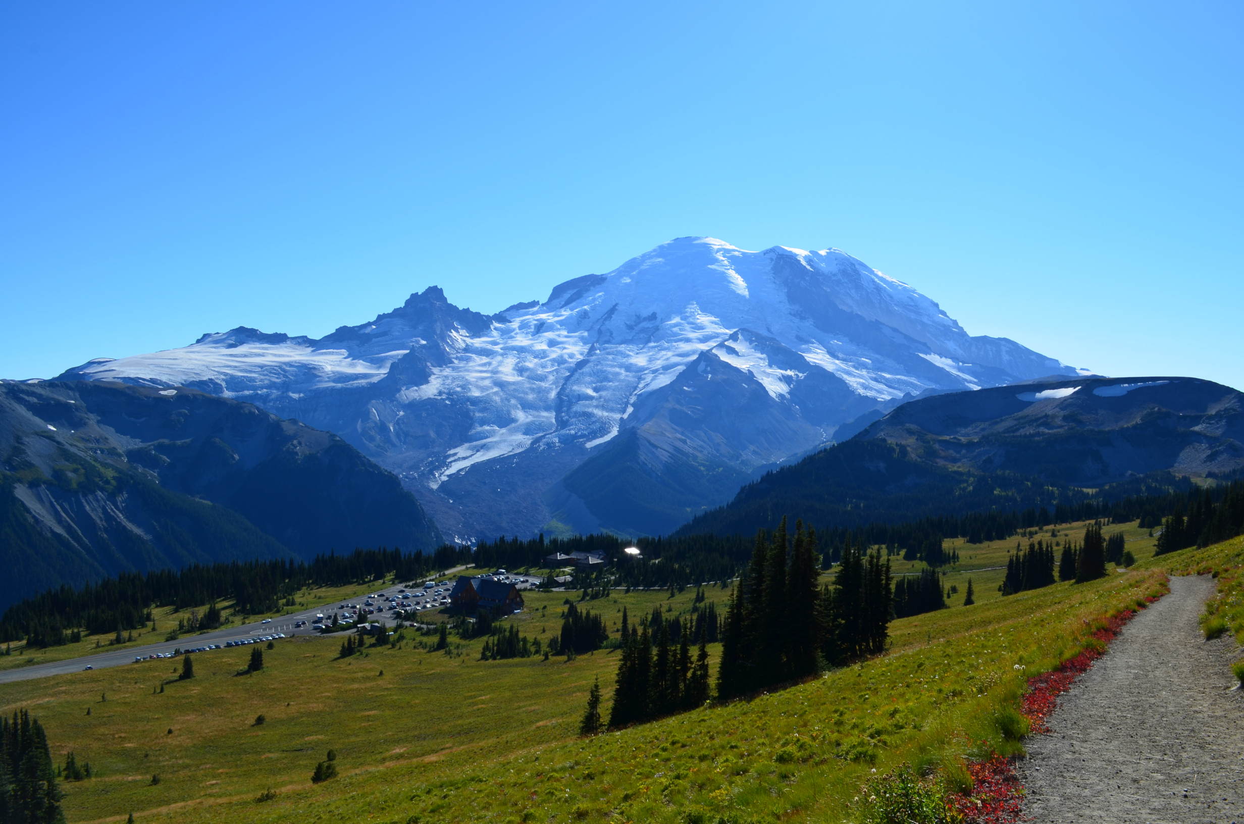
The Wonderland Trail, in Mt. Rainier National Park.The Wonderland Trail is about 93 miles long and has a cumulative elevation gain of about 22,000ft.
I had long wanted to backpack the Wonderland Trail. While living in Omak, WA, I finally got the chance. I arranged a bit over a week of vacation. Prior to starting the backpack I spent few days camping with Genevieve.
Genevieve and I found a great spot to car camp at Johnson Creek. We spent the weekend there and enjoyed a short hike part way up Angry Mountain Trail.
Genevieve had a Whymper tent which, at the time, she was quite happy with. Later on it turned out not to work very well when exposed to 2 days to rain, but that is another story. The important thing: you can start camping with cheap gear and stuff from thrift stores. Get better gear over time, as needed.
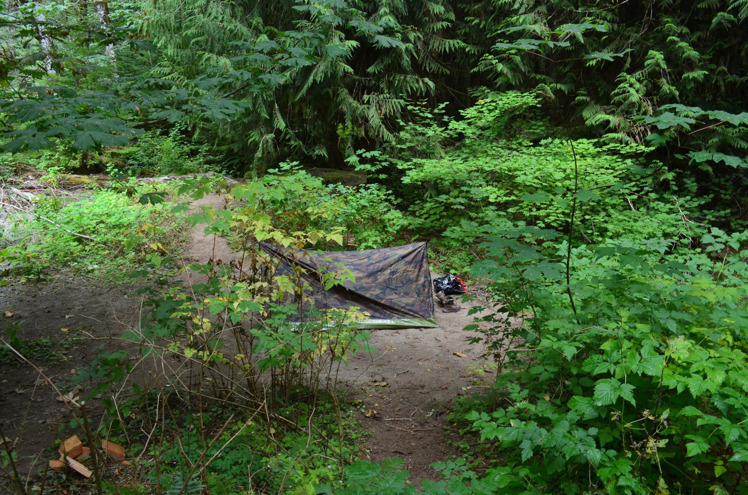
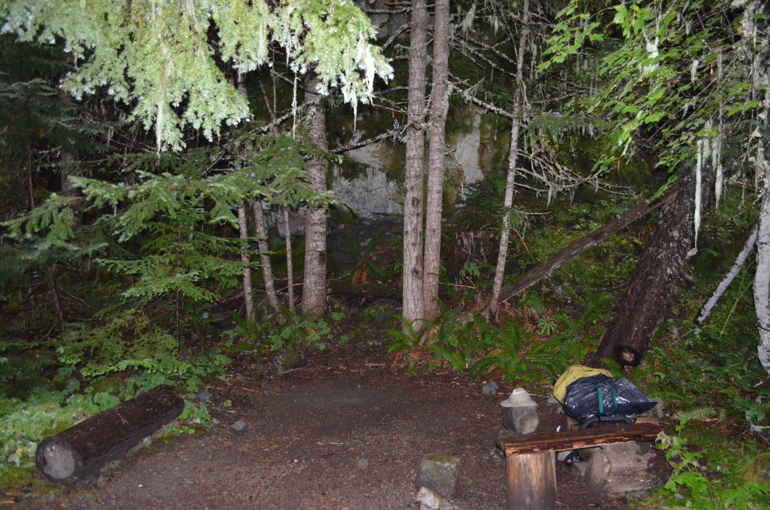
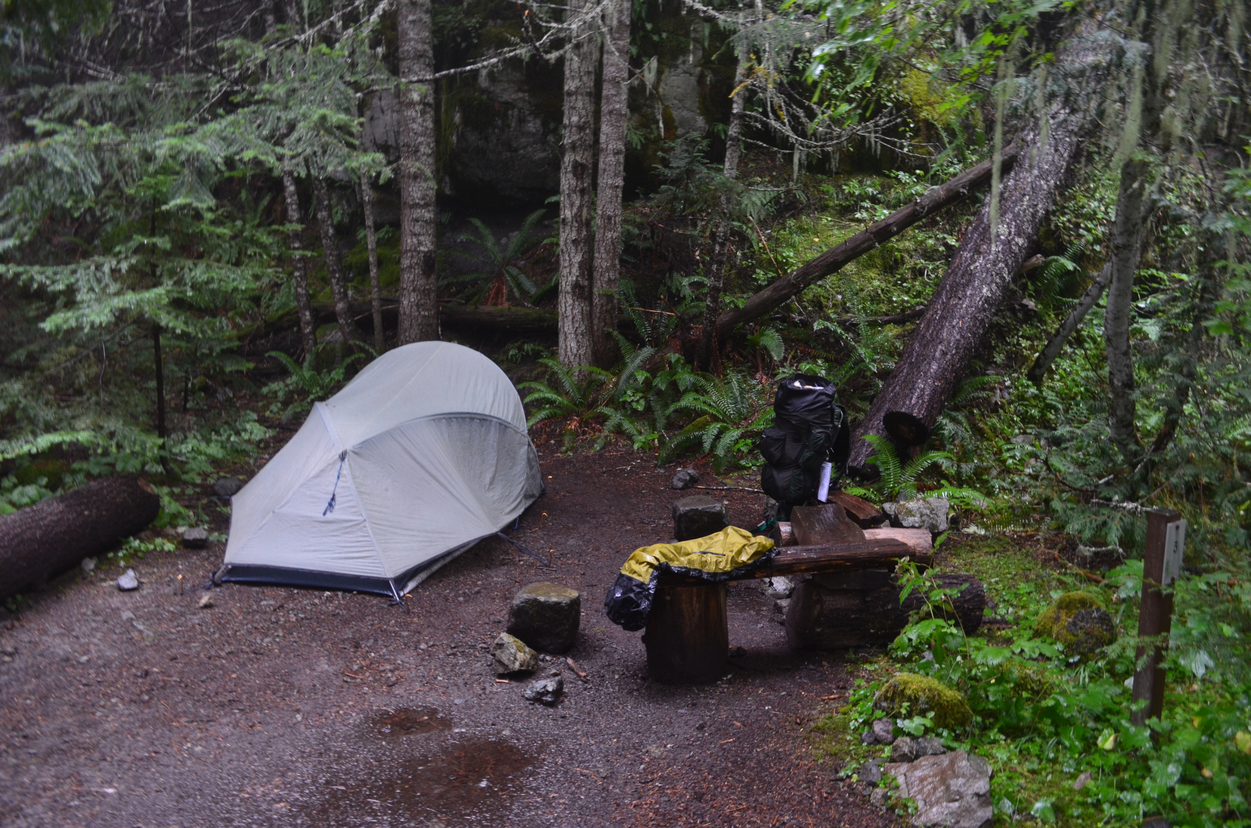
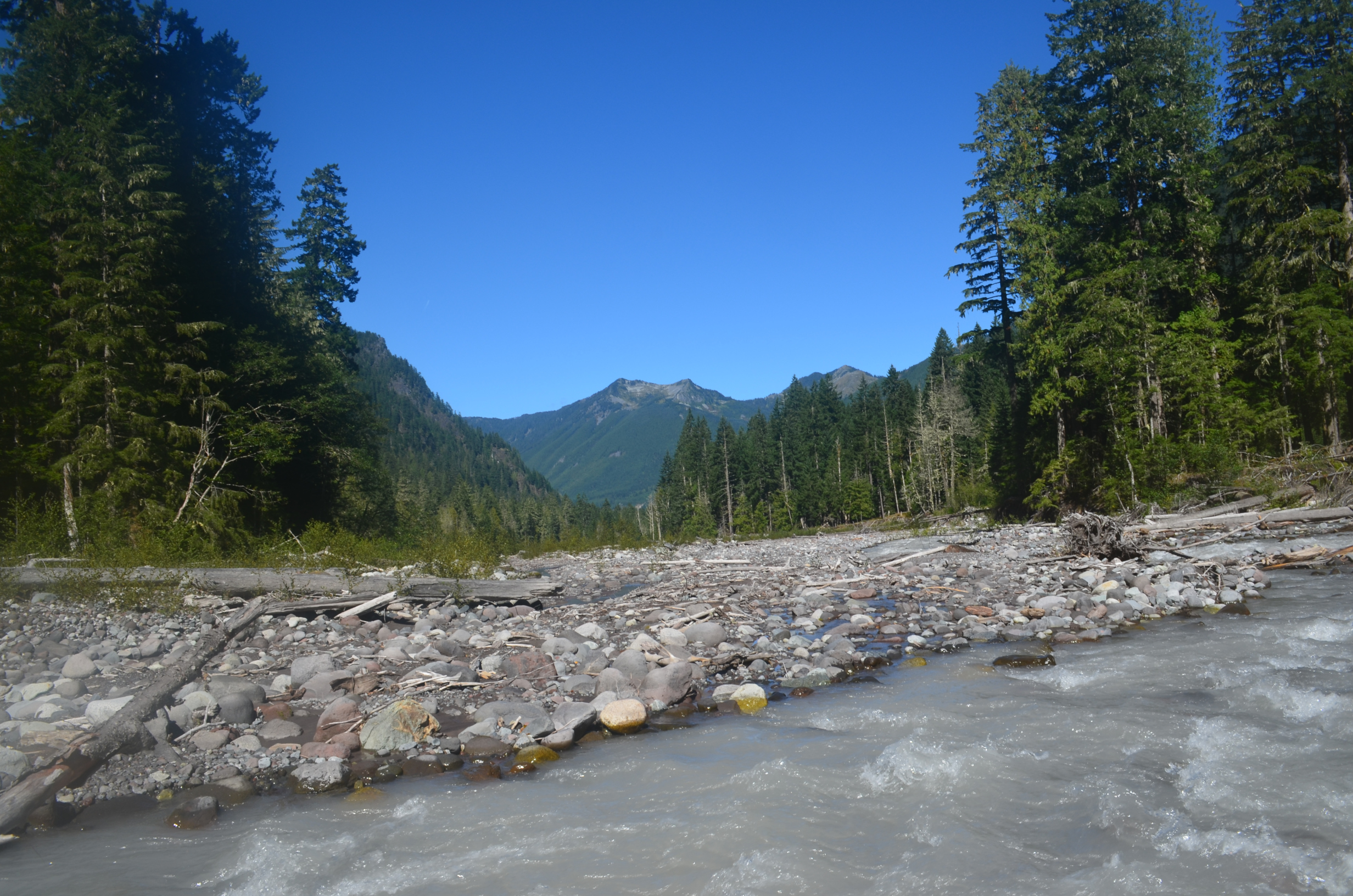
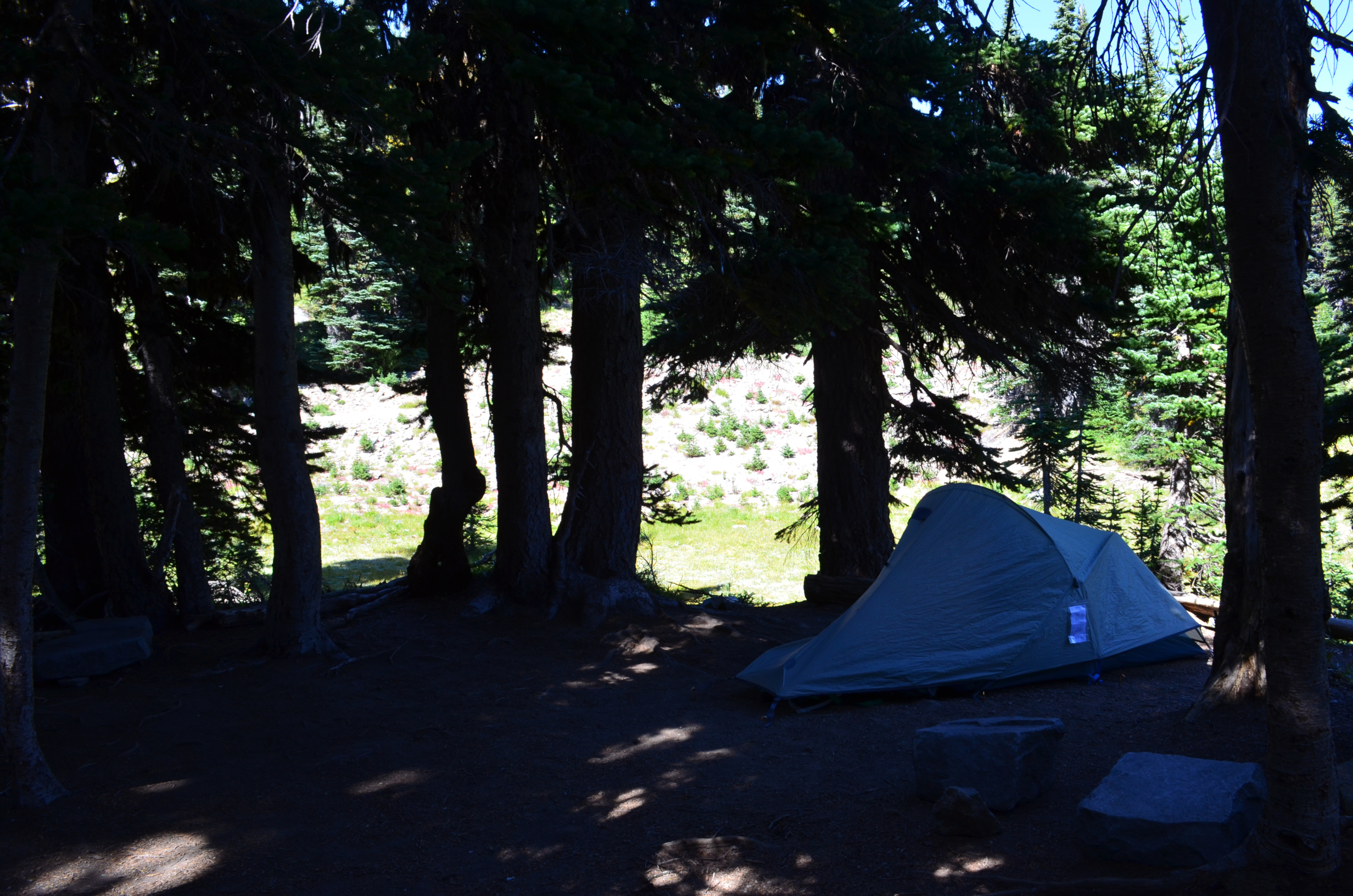
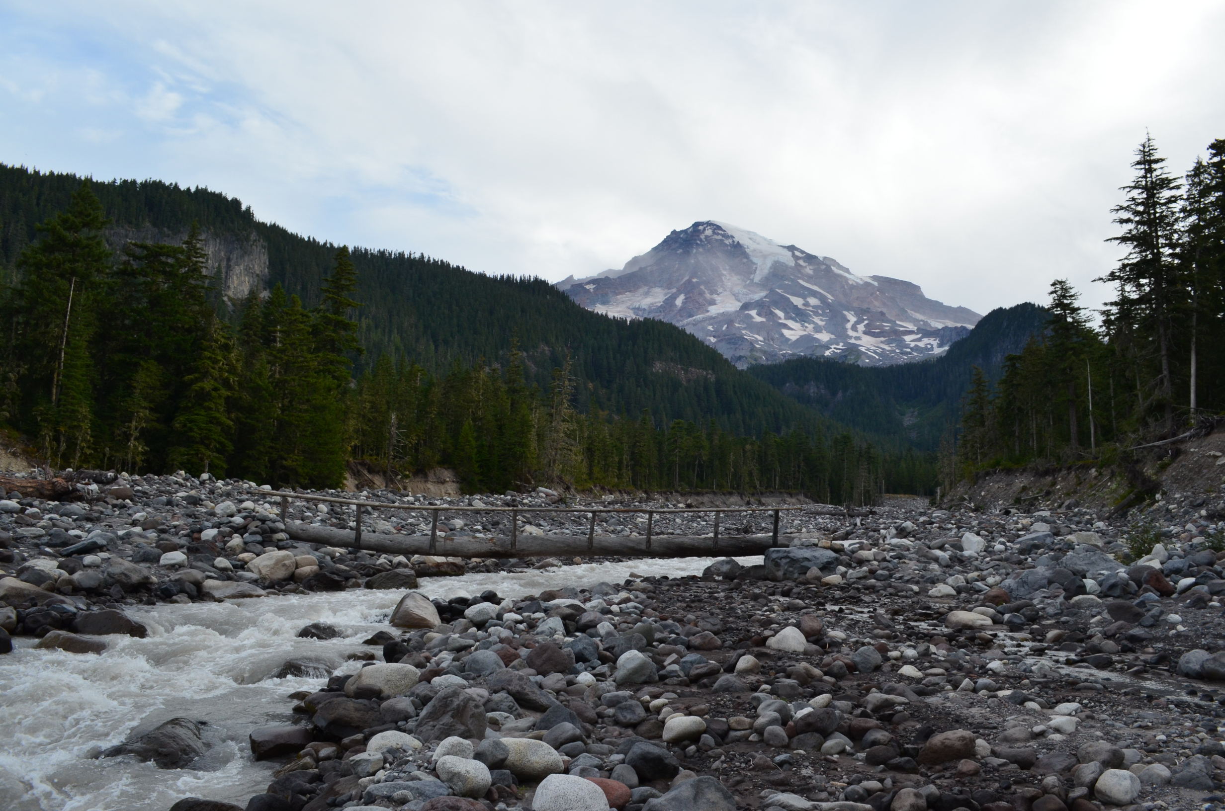
On Sep 1st I got started up the Wonderland trail, and Genevieve headed back home. I finally left Longmire around 4:30pm, and had a short backpack to the Pyramid Creek Camp Site.
2 miles from Longmire and 1.7 to Pyramid; the total climb to get to the camp was 1300ft. I started questioning the couple pounds of homemade peanut butter cookies I brought.
Step 1: get to camp.
Step 2: lie on ground staring at the sky.
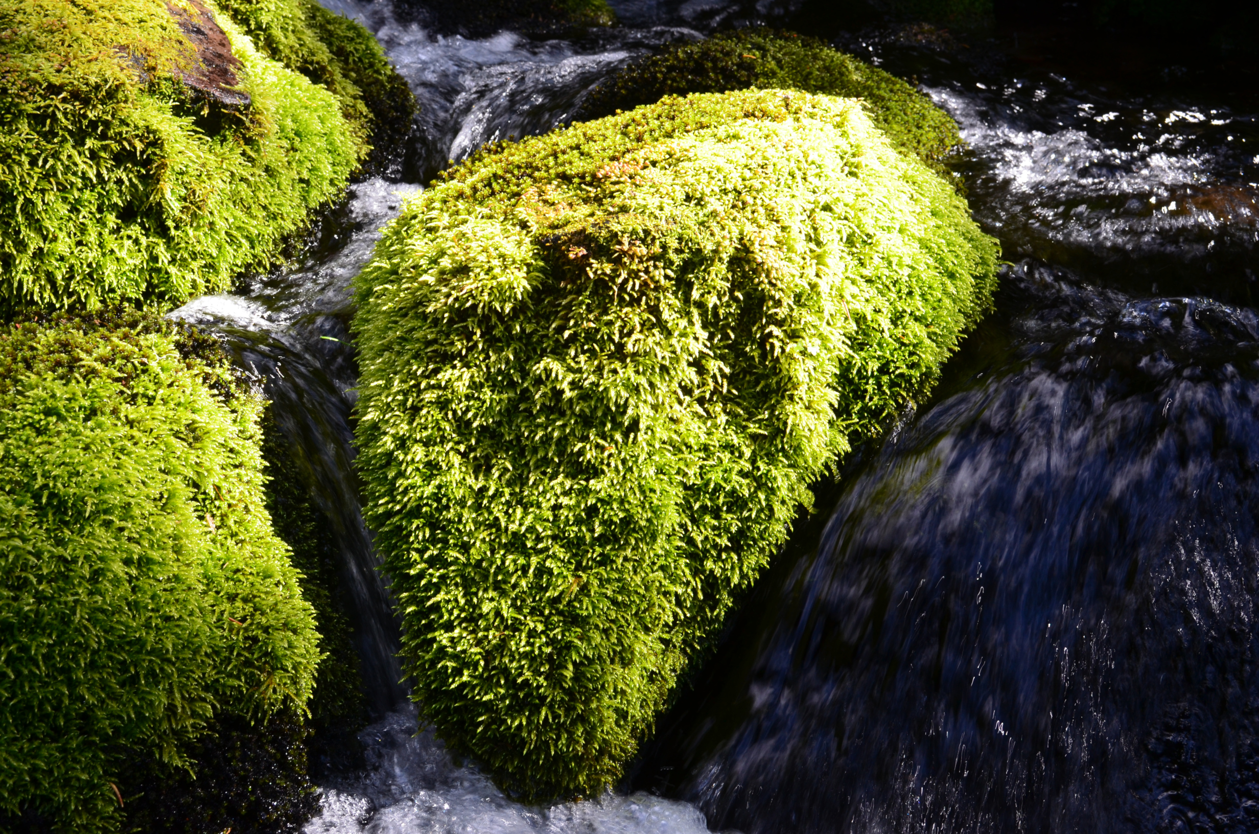
Once I had camp set up, the cookies secured where the animals couldn't get them, and was done staring at the sky, I went exploring. I then observed that one of the marks of a true Washingtonian is that you don't care what the guide books say, the state flower is moss.
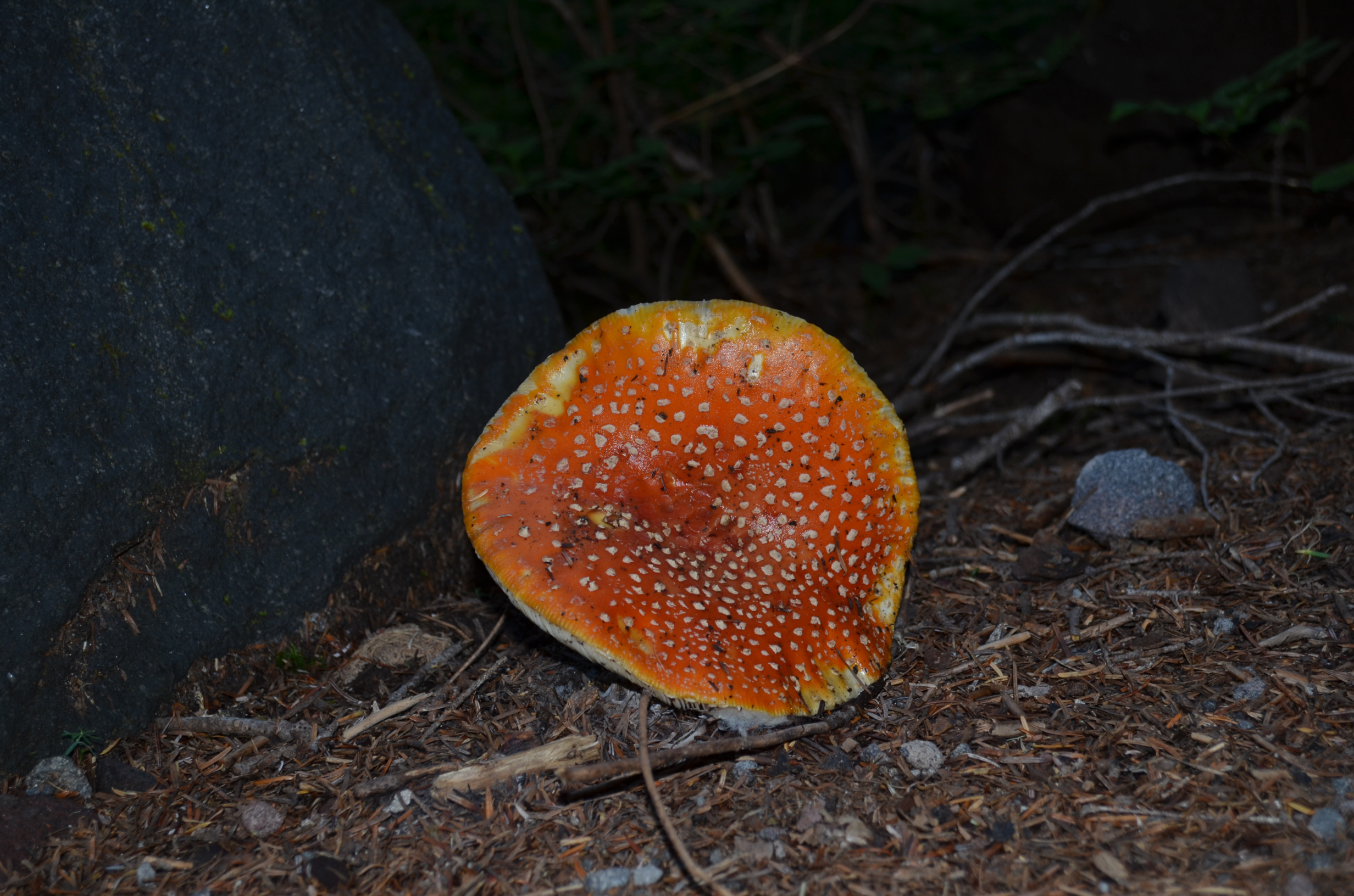
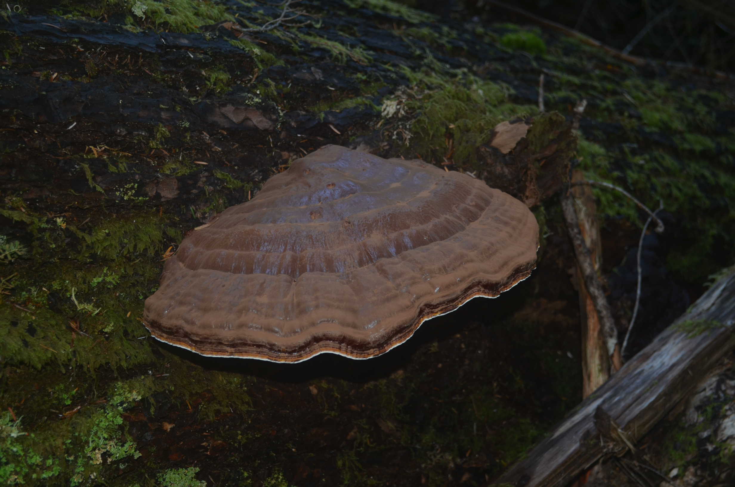
In Washington State, the trees are larger, the fish are larger, the bears are larger, and even the fungi are larger.
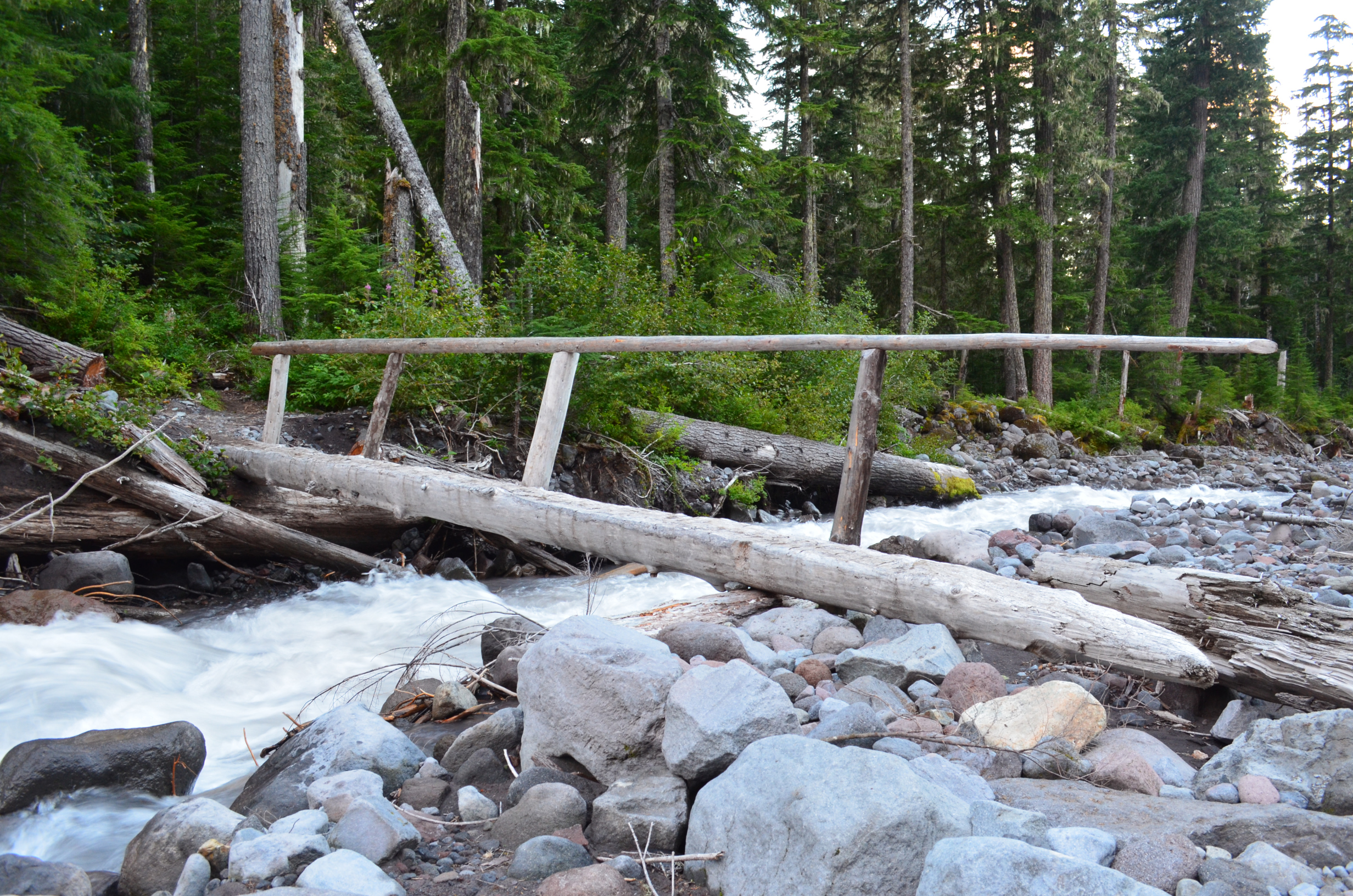
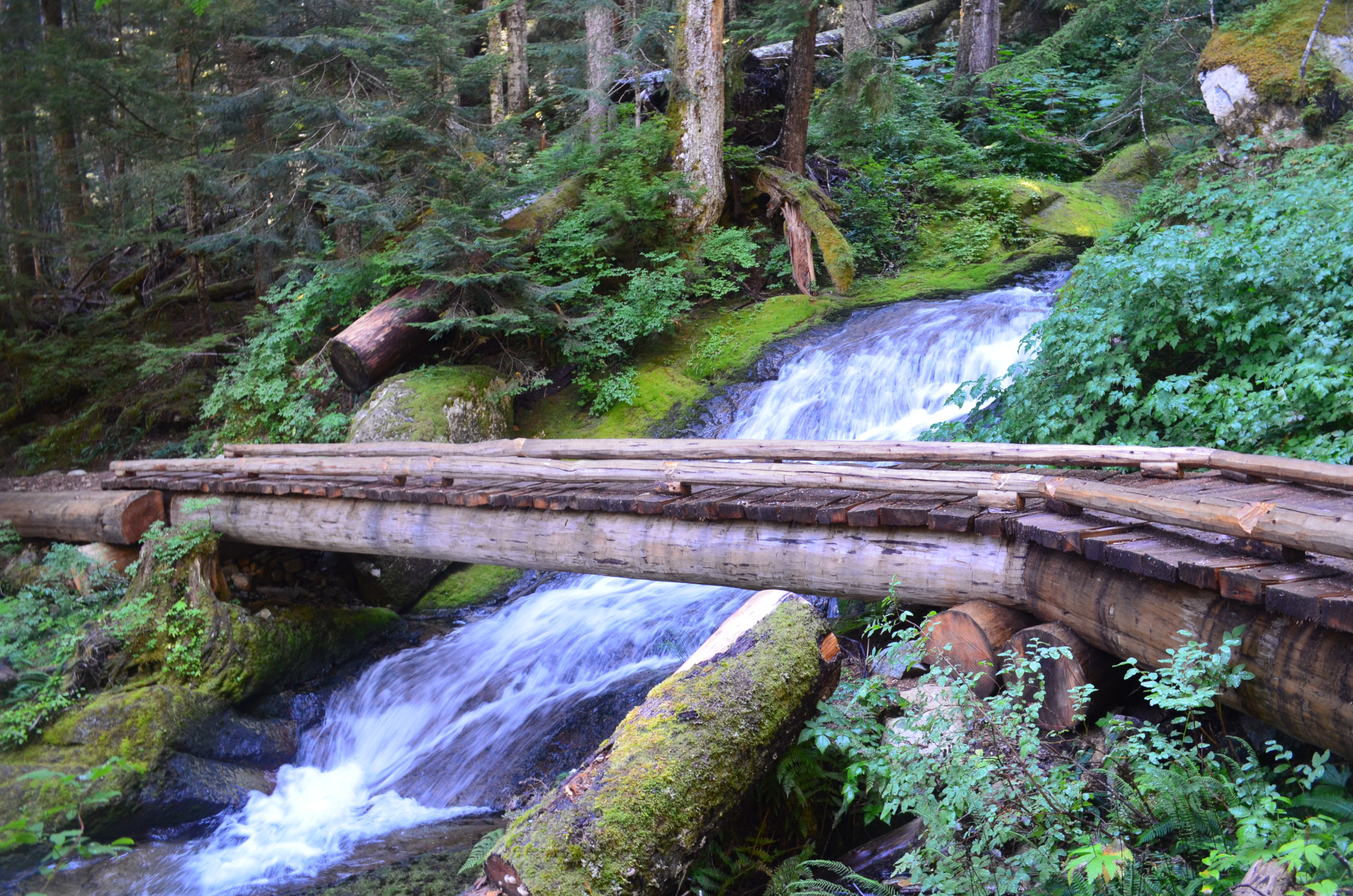
As the author of Scary Bridges I was happy to find a bridge. Sadly, it did not meet my very low standards for posting.
Bridges like this were quite common on the hike. The park service tethers one end of the log bridge down with a cable. When a flood washes it away the tether prevents it from going too far. After the flood they pick it up and put it back across the creek.
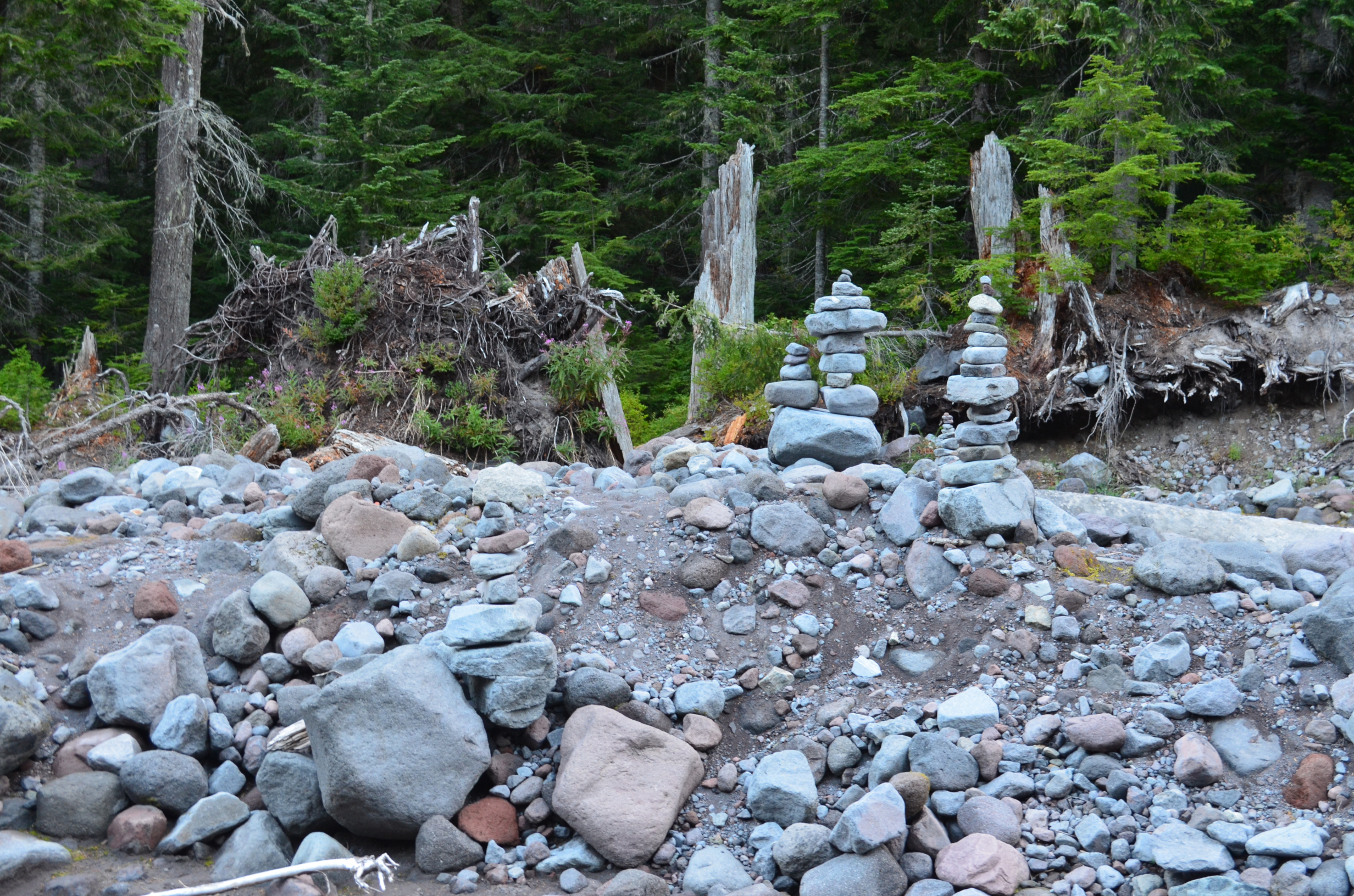
Somebody got a little too enthusiastic when making cairns.
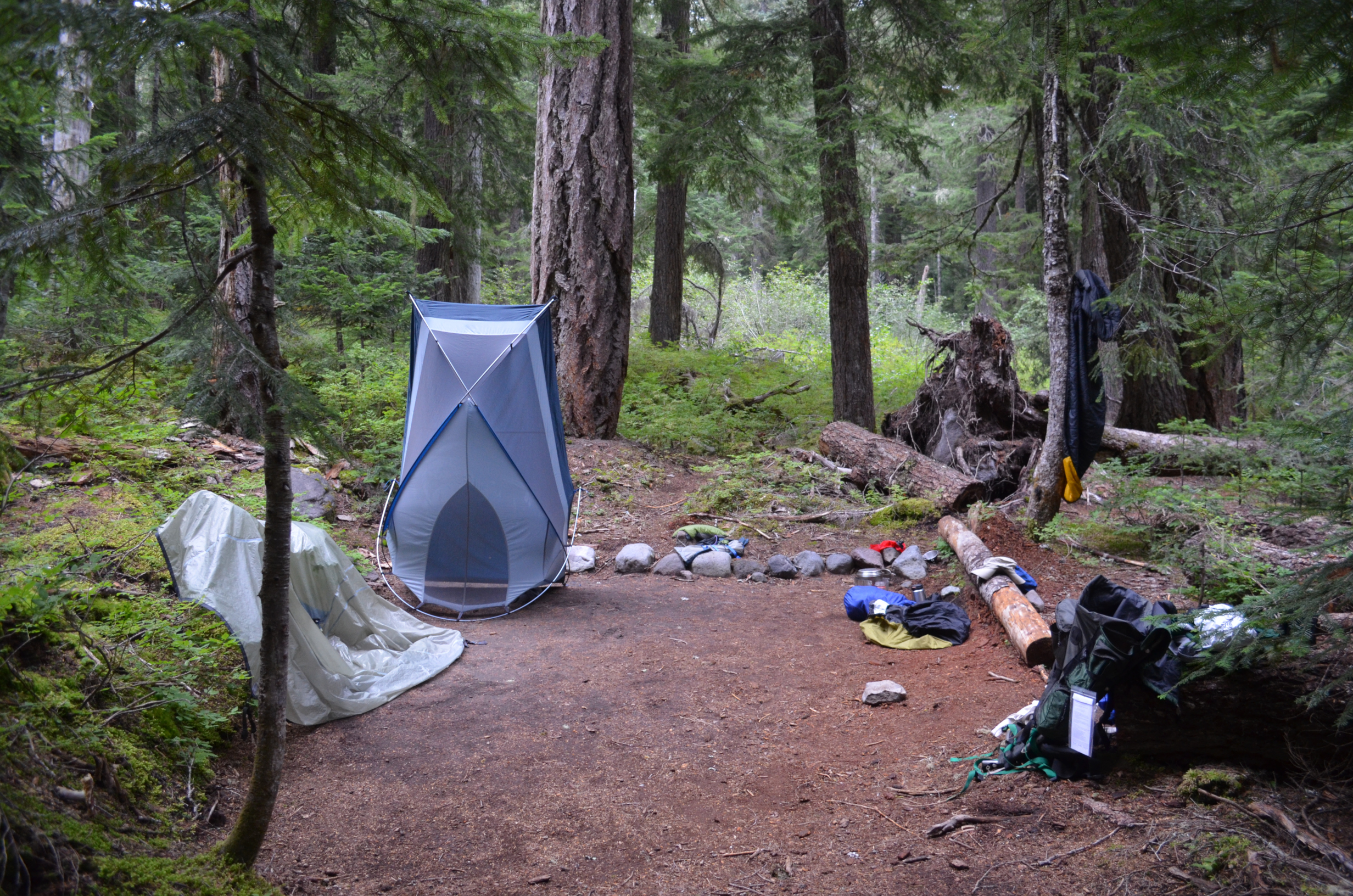
Packing up to leave Pyramid Creek.
In areas this damp, keeping your gear dry is extremely important. Air it out every day if possible.
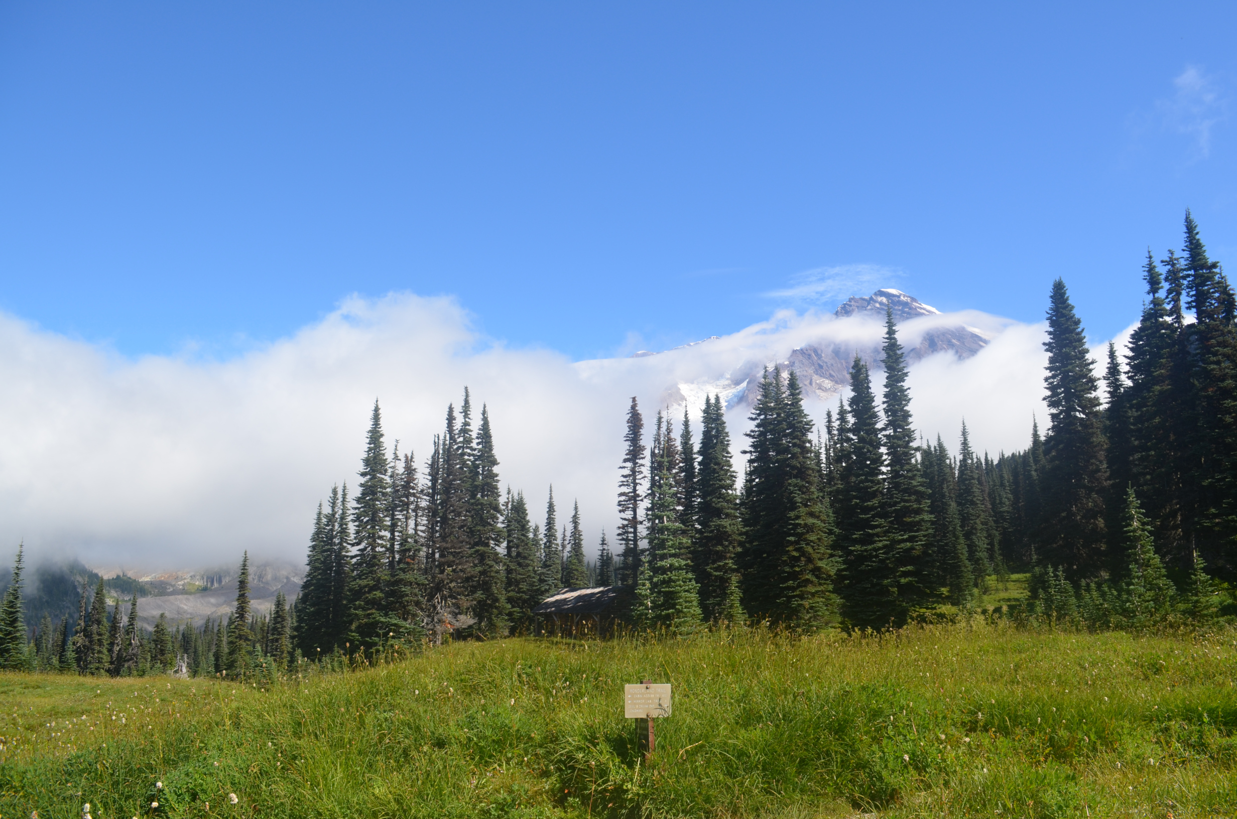
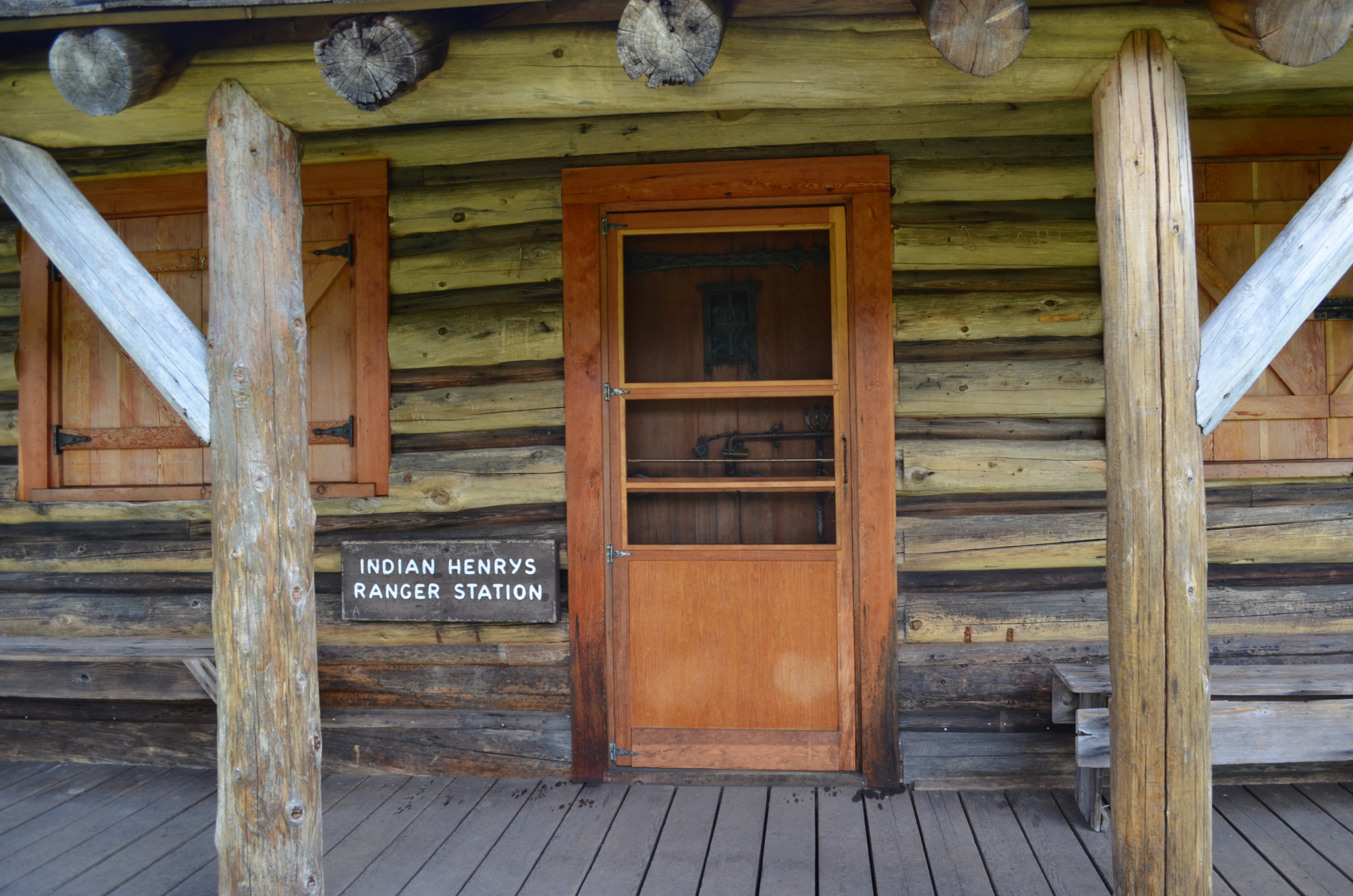
Indian Henrys
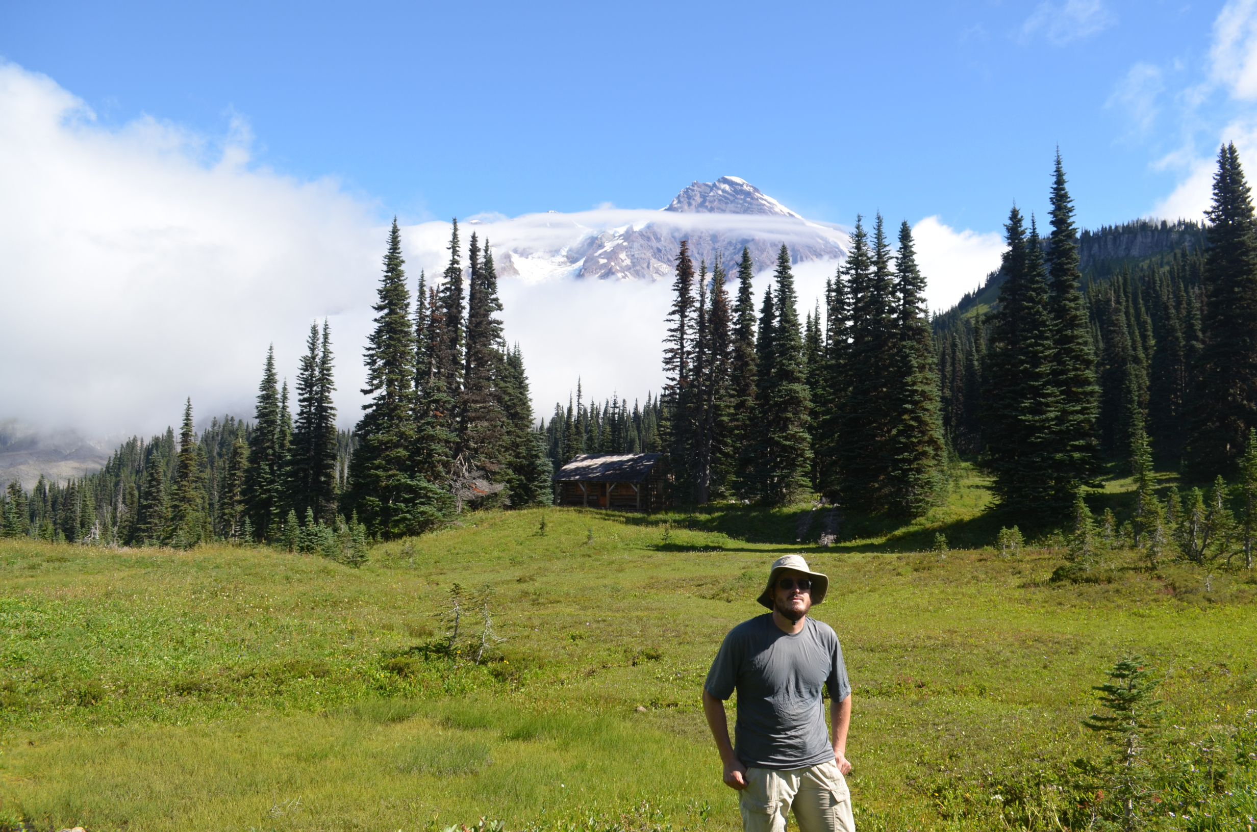
A rare photo of the author, taken by a friendly backpacker.
The Indian Henry's patrol cabin ranks among the most scenic places to work that I have come acorss. Depending on if you prefer greenery or desert, more scenic than my former workplace at the Atacama Large Millimeter Array.
The ranger was not in.
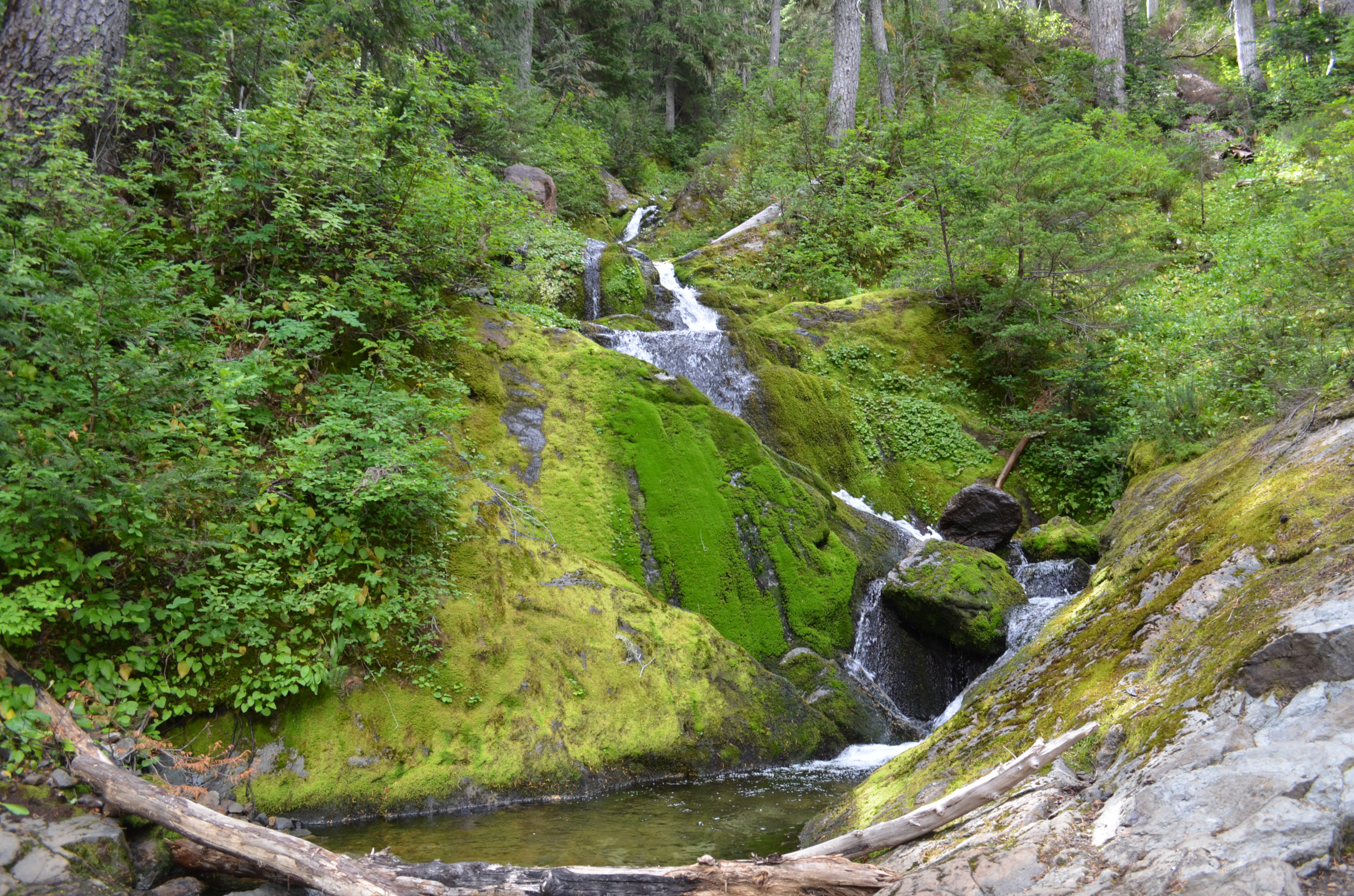
Western Washington State specializes in mossy creeks. They are a nice change from the dryer climates in which I spend most of my time.
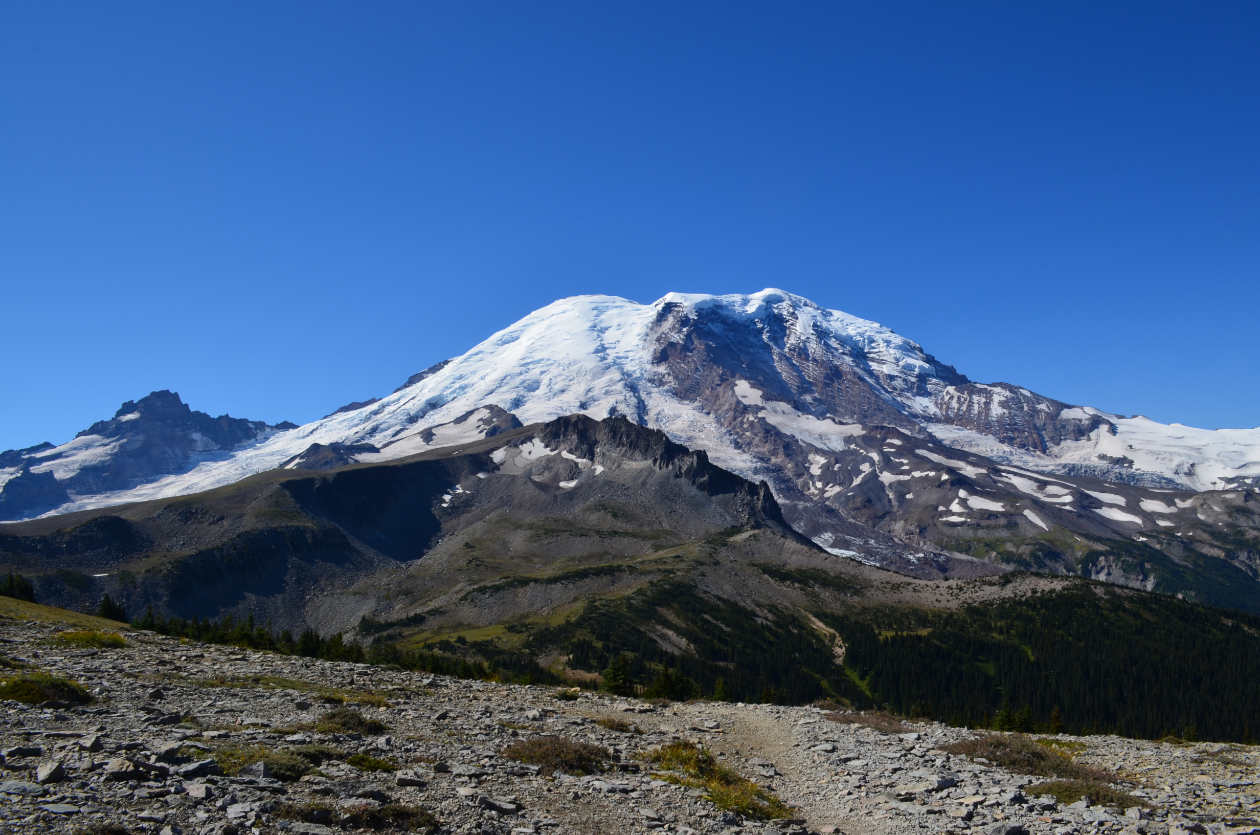
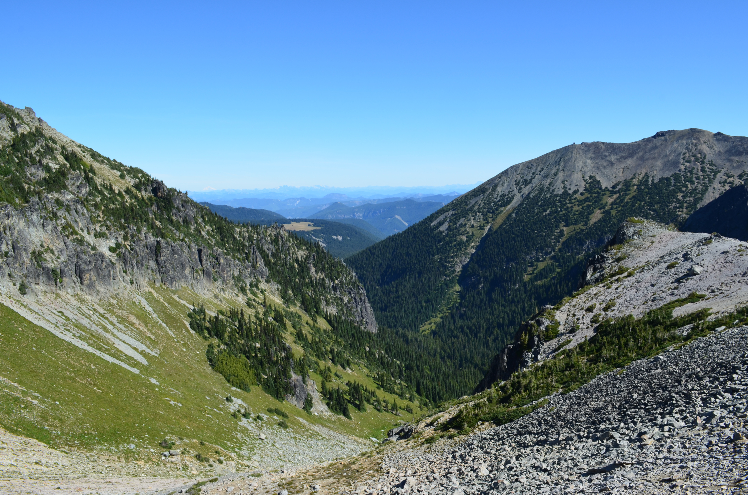
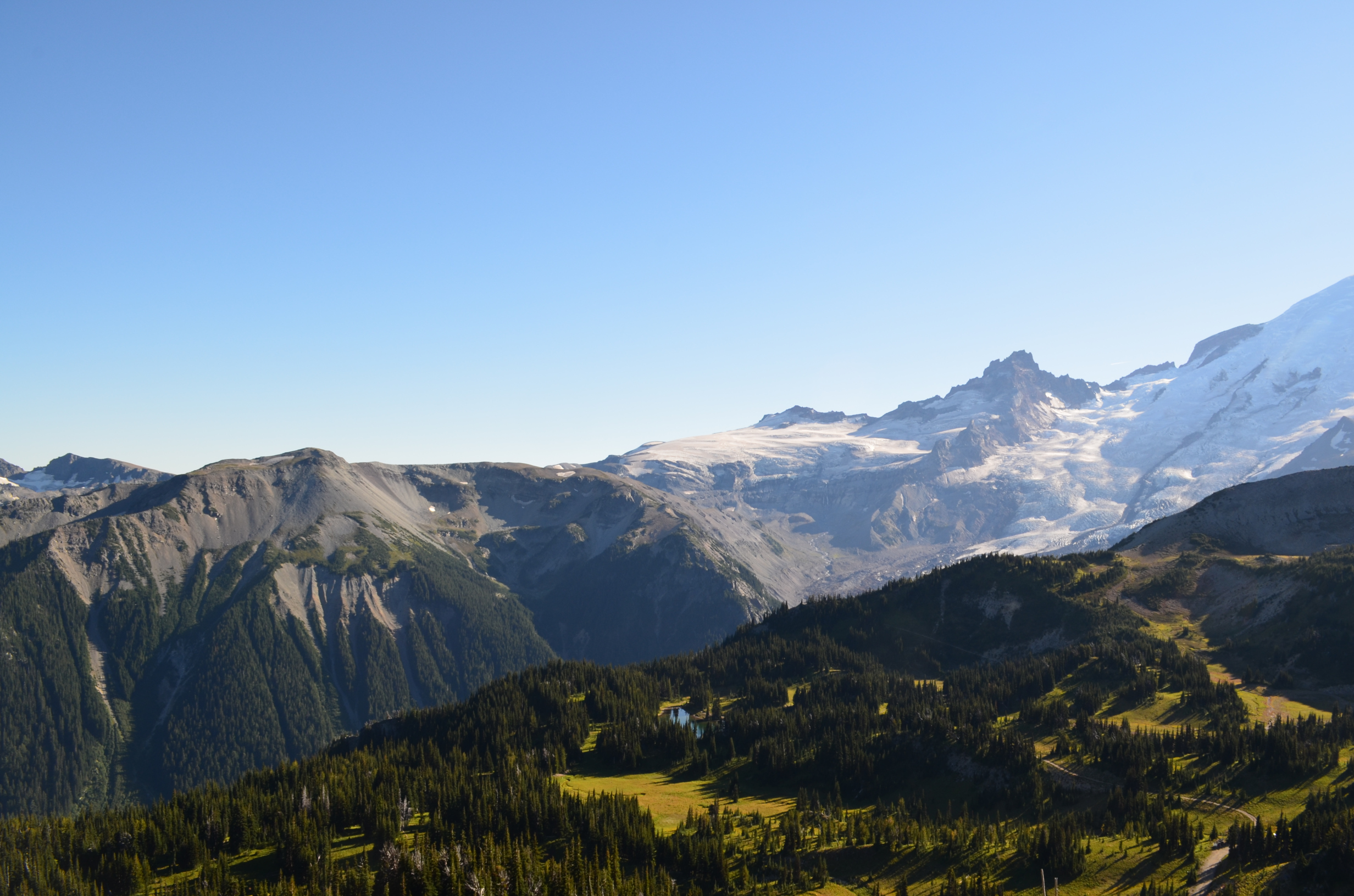
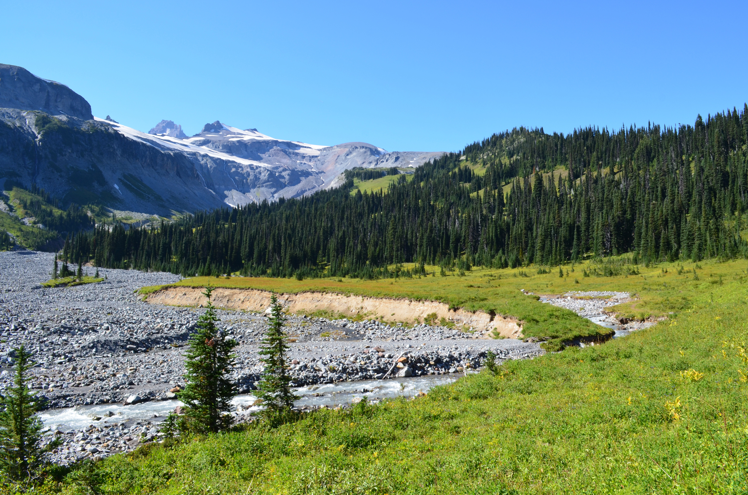
Upper Tahoma Canyon was rugged and impressive.
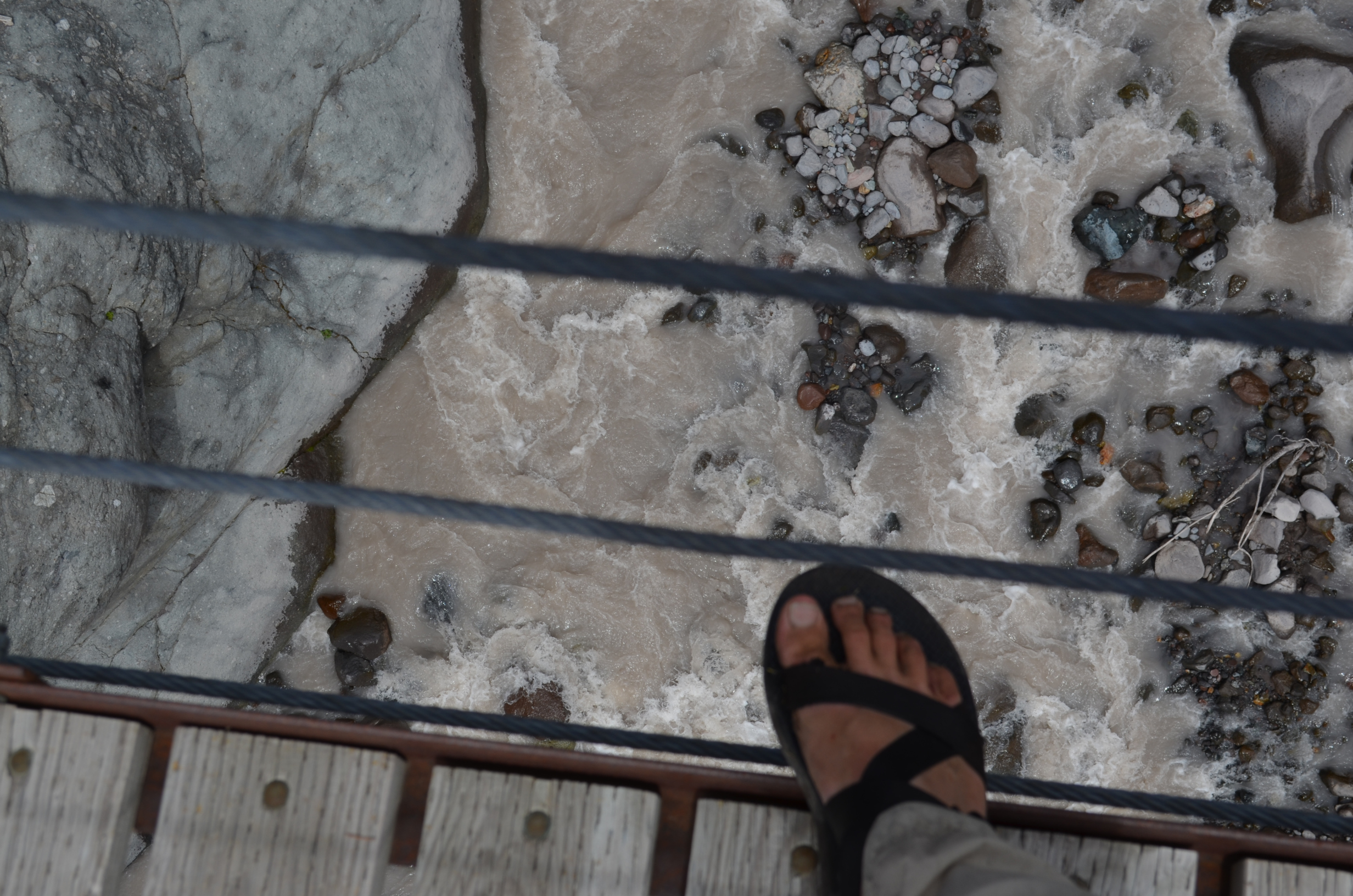
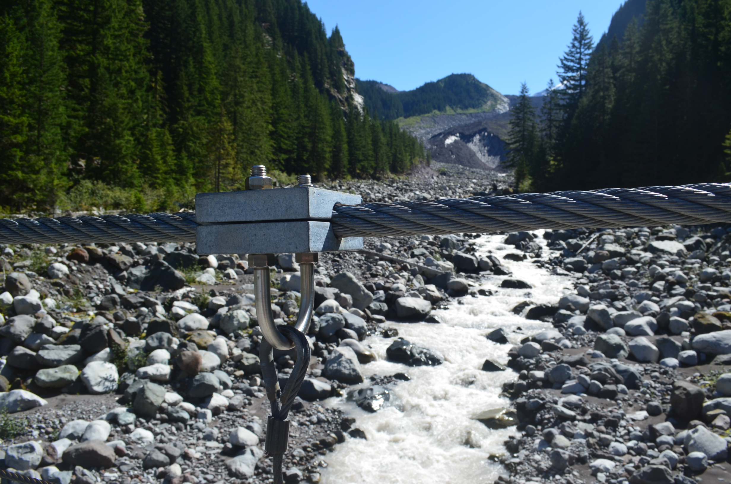
After a careful inspection, I found that the Tahoma Creek Suspension Bridge was, alas, unworthy of a full listing on Scary Bridges. It did, however, merit an honorable mention. And one of the u-bolts make 2014 Most Scenic Clamping U-Bolt of the Year.
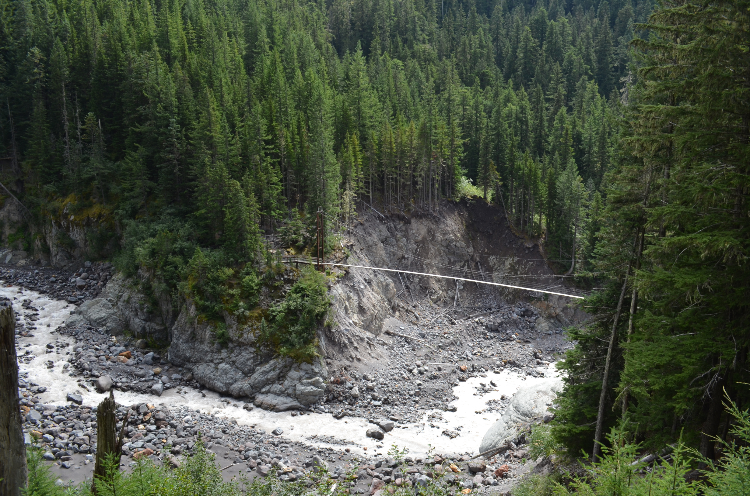
Crossing the Tahoma Creek Suspension Bridge. The creek was further down than it looks in this photo.
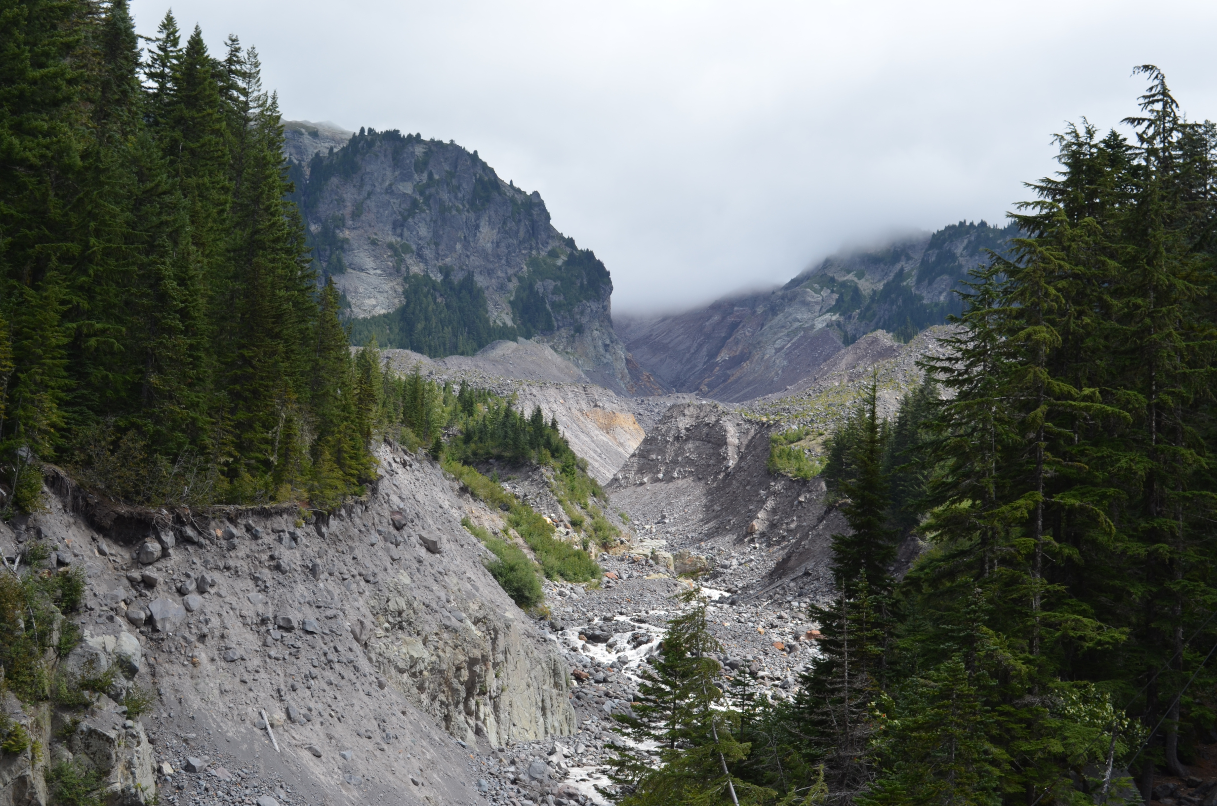
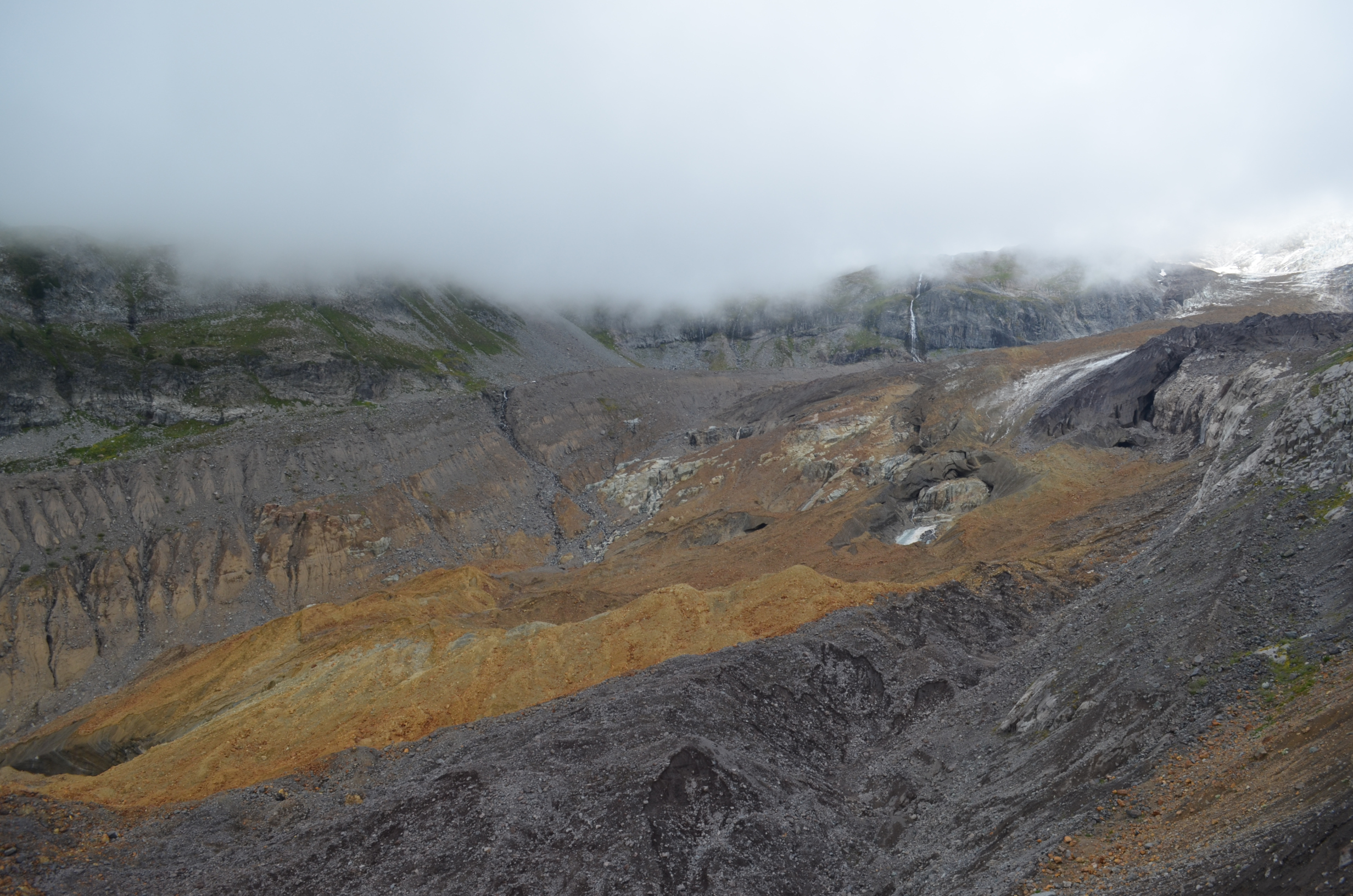
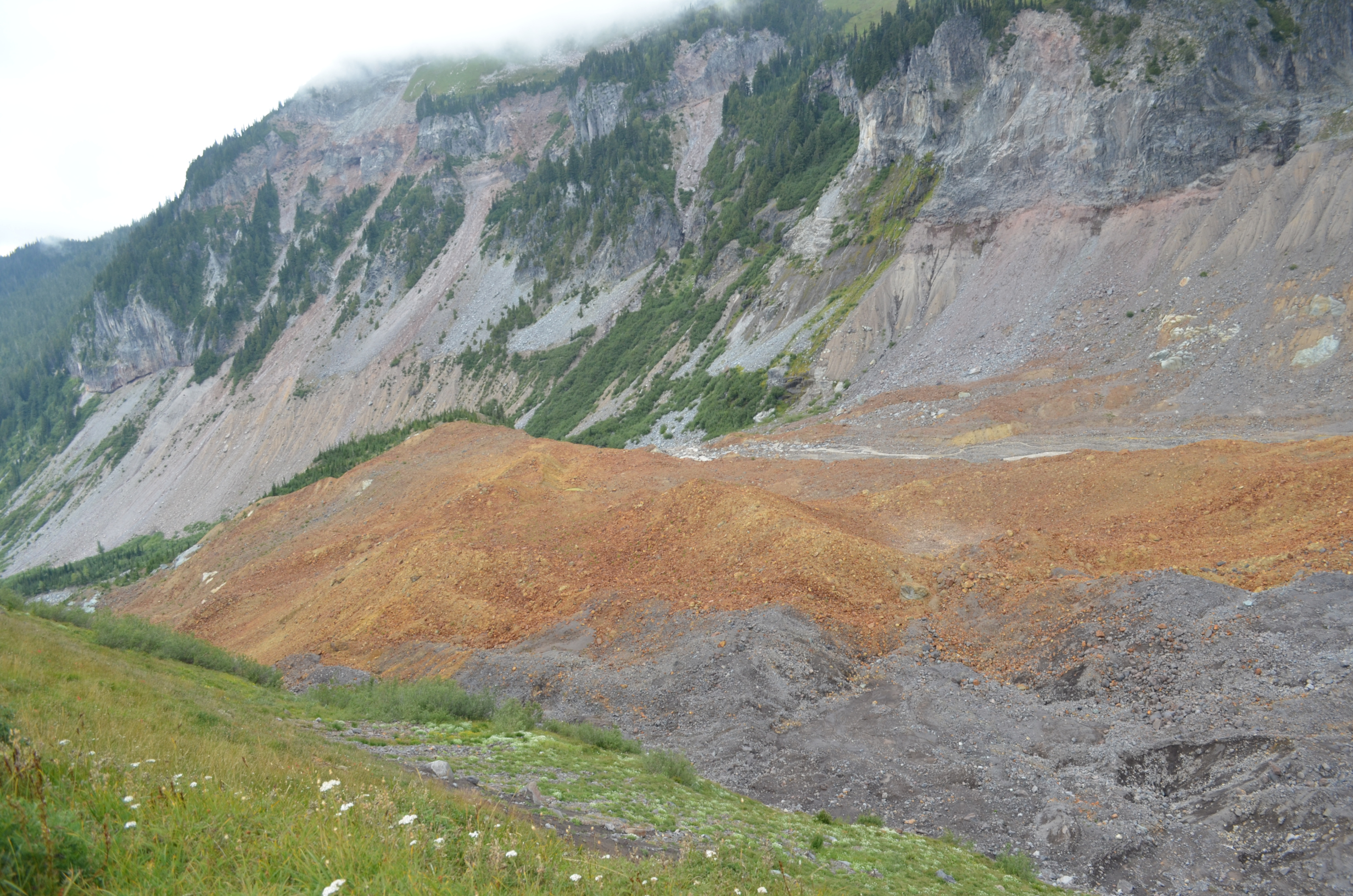
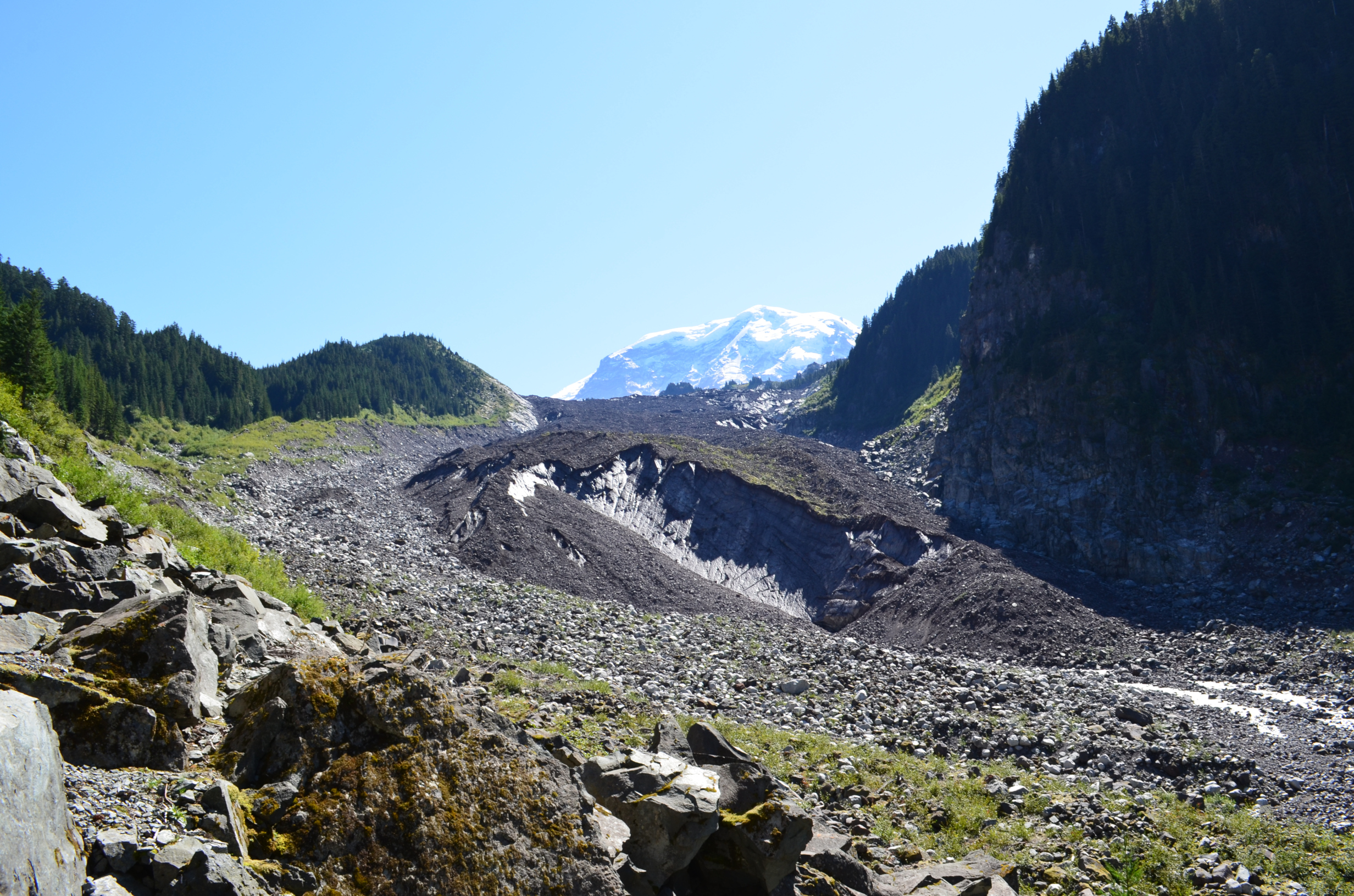
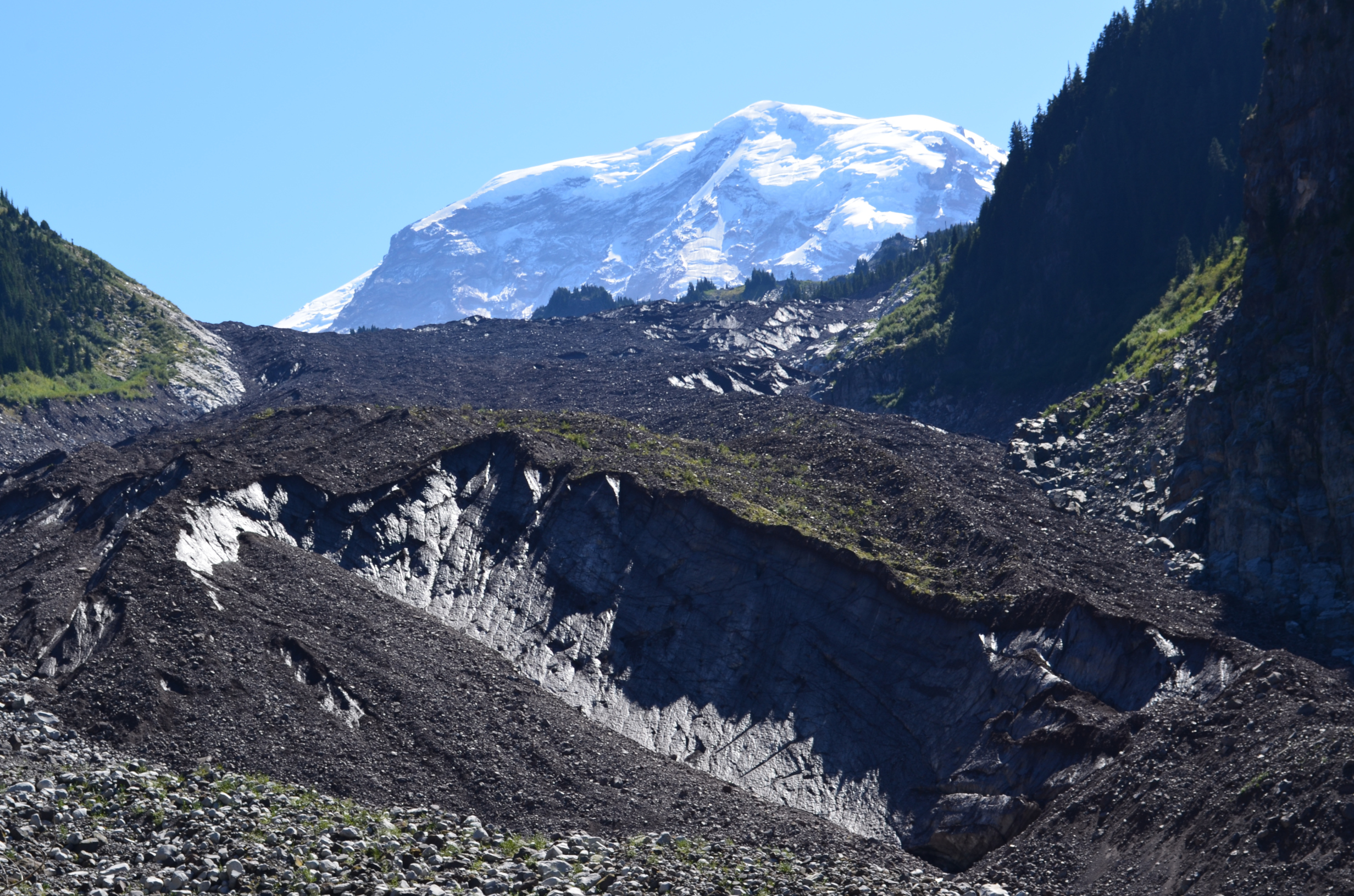
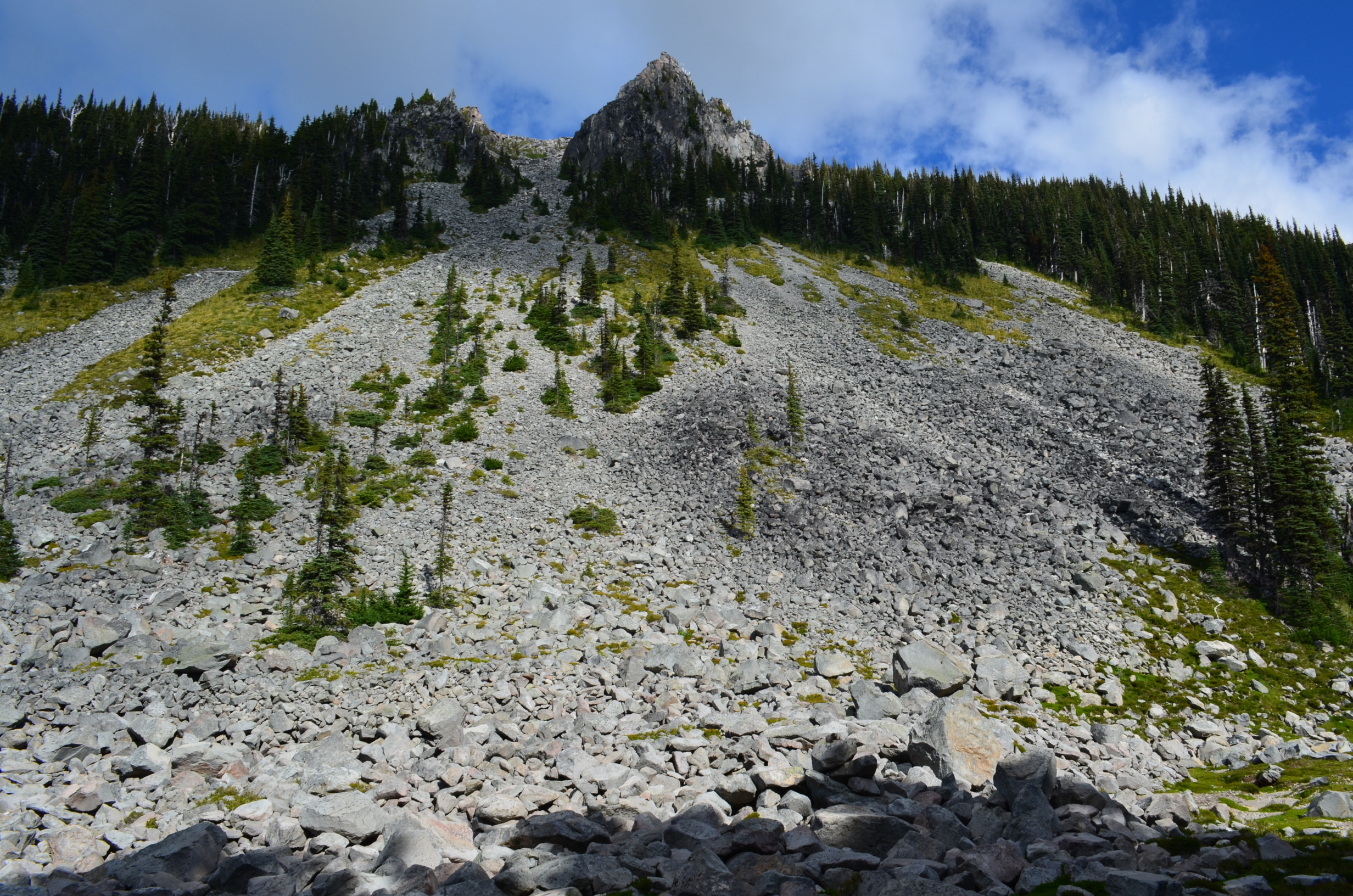
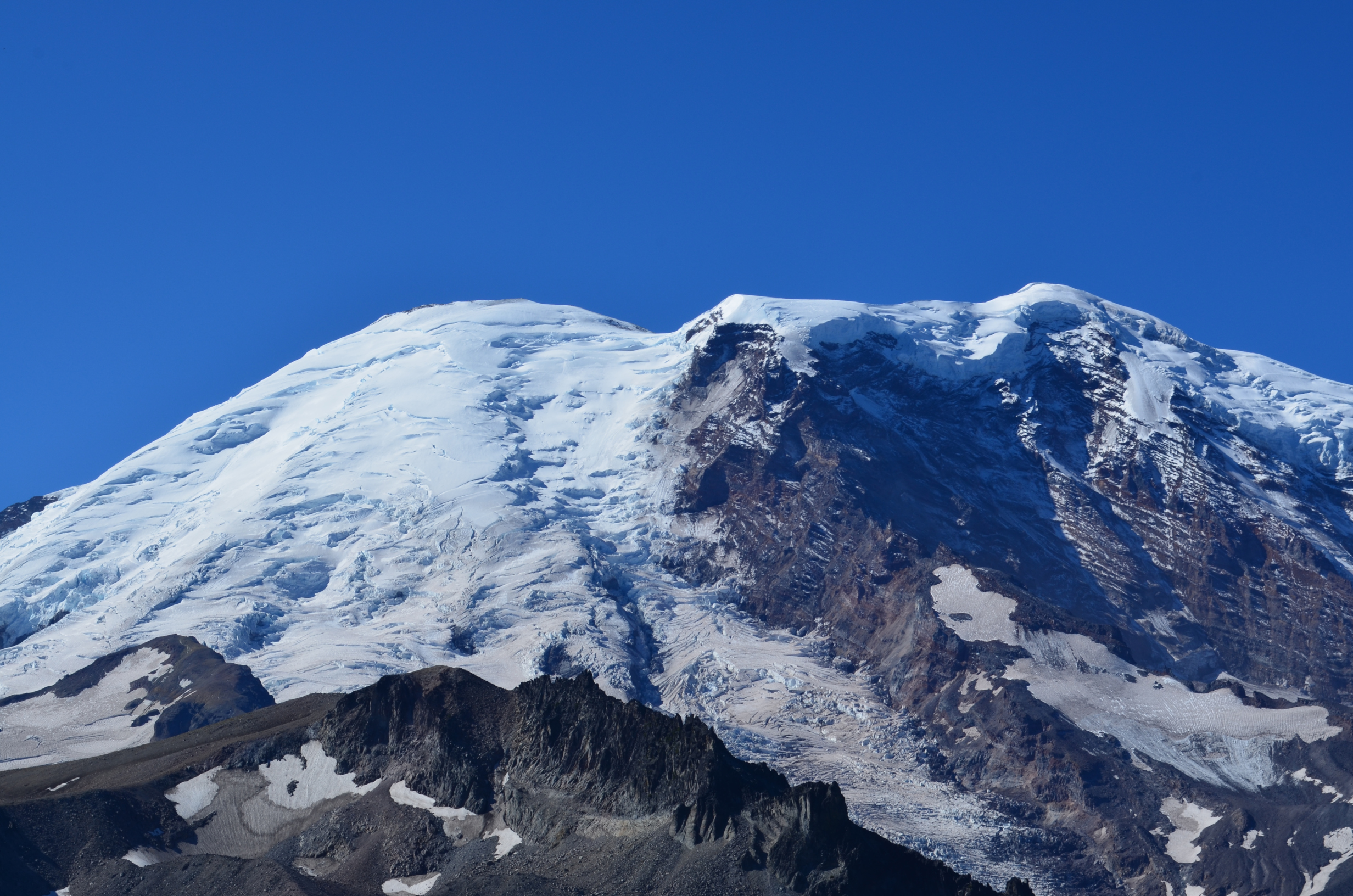
As the Tahoma Glacier melts at the upper end of the Sough Puyallup Canyon it leaves behind quite the blasted hellscape!
I paused to take a break, eat a spoon full of smashed doritos, and enjoy some of those cookies.
By the time I arrived at North Puyallup Campground it is around 7:15pm. It started raining at 3:15PM. My altimeter went nuts, but the hiked was about 15.8 miles and climbed about 4400ft. Trip total: 19.5 miles, 5,700ft climb. Note: all climbs are vertical feet up, and do not include descending, of which I did plenty.
Nothing to do but camp in the damp.
When you walk down the damp trail the damp trees rub off damp water onto your dampness. Thankfully, I had carefully kept my sleeping bag and the interior of my tent dry.
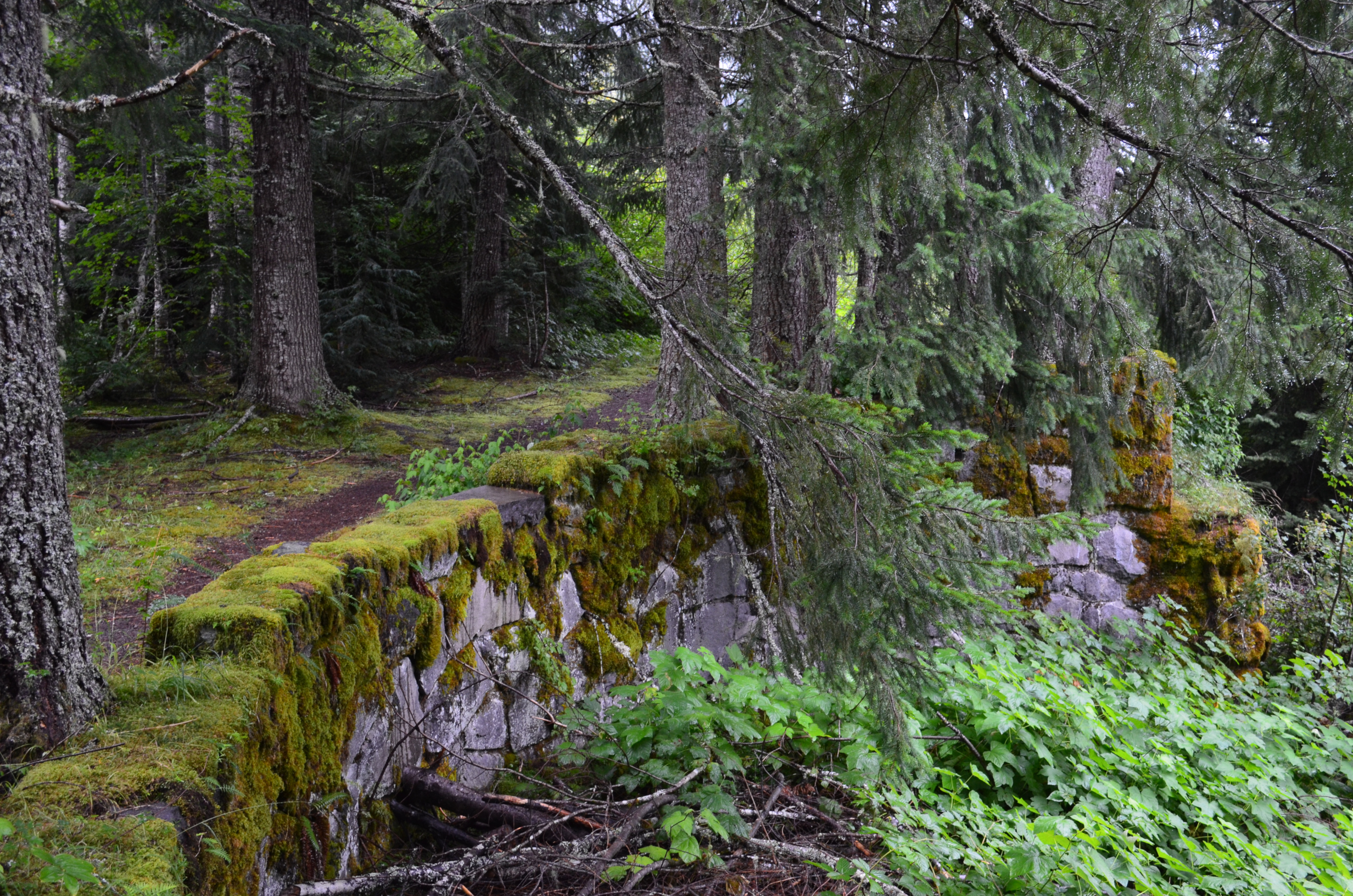
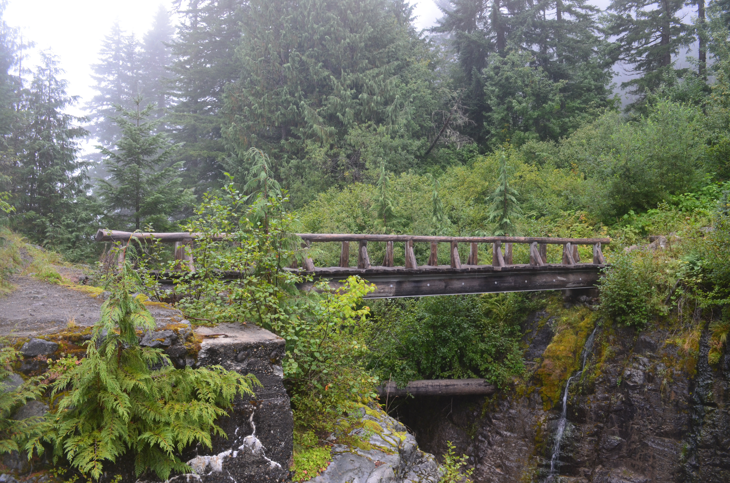
Long ago there was vehicle access to this area. While the pavement is long gone (or buried in forest debris), the old roads and parking areas are still held up by retaining walls.
Another not-scary bridge.
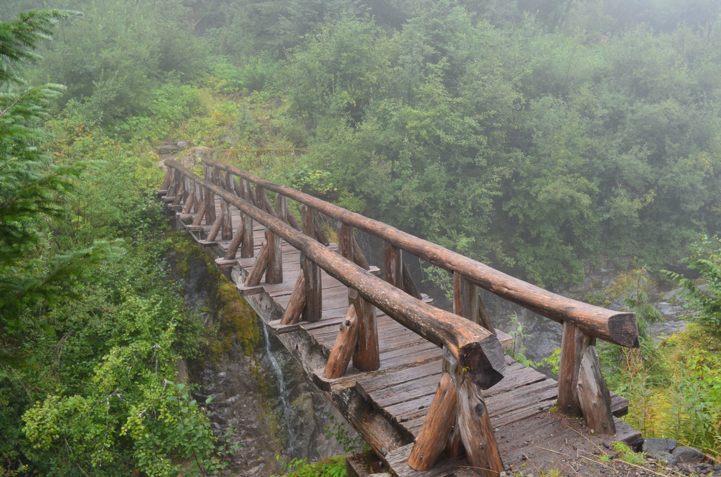
They did a good job of concealing that this is not a wooden bridge, but actually steal. (Remember: click on an image for a larger version)
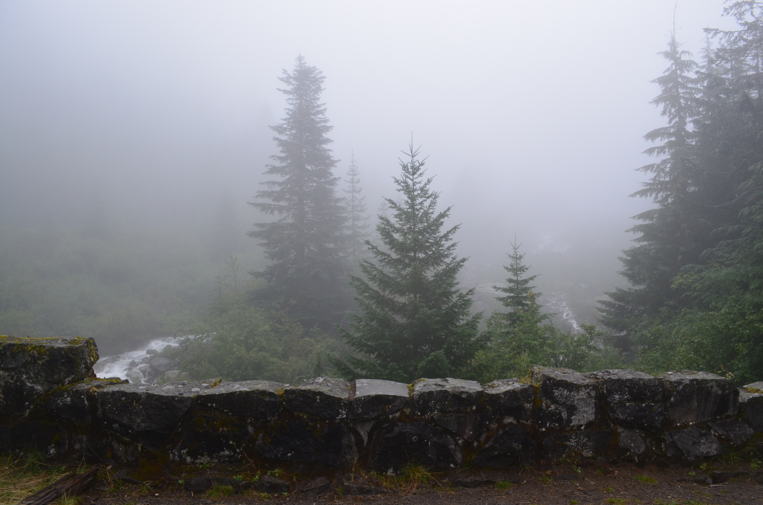
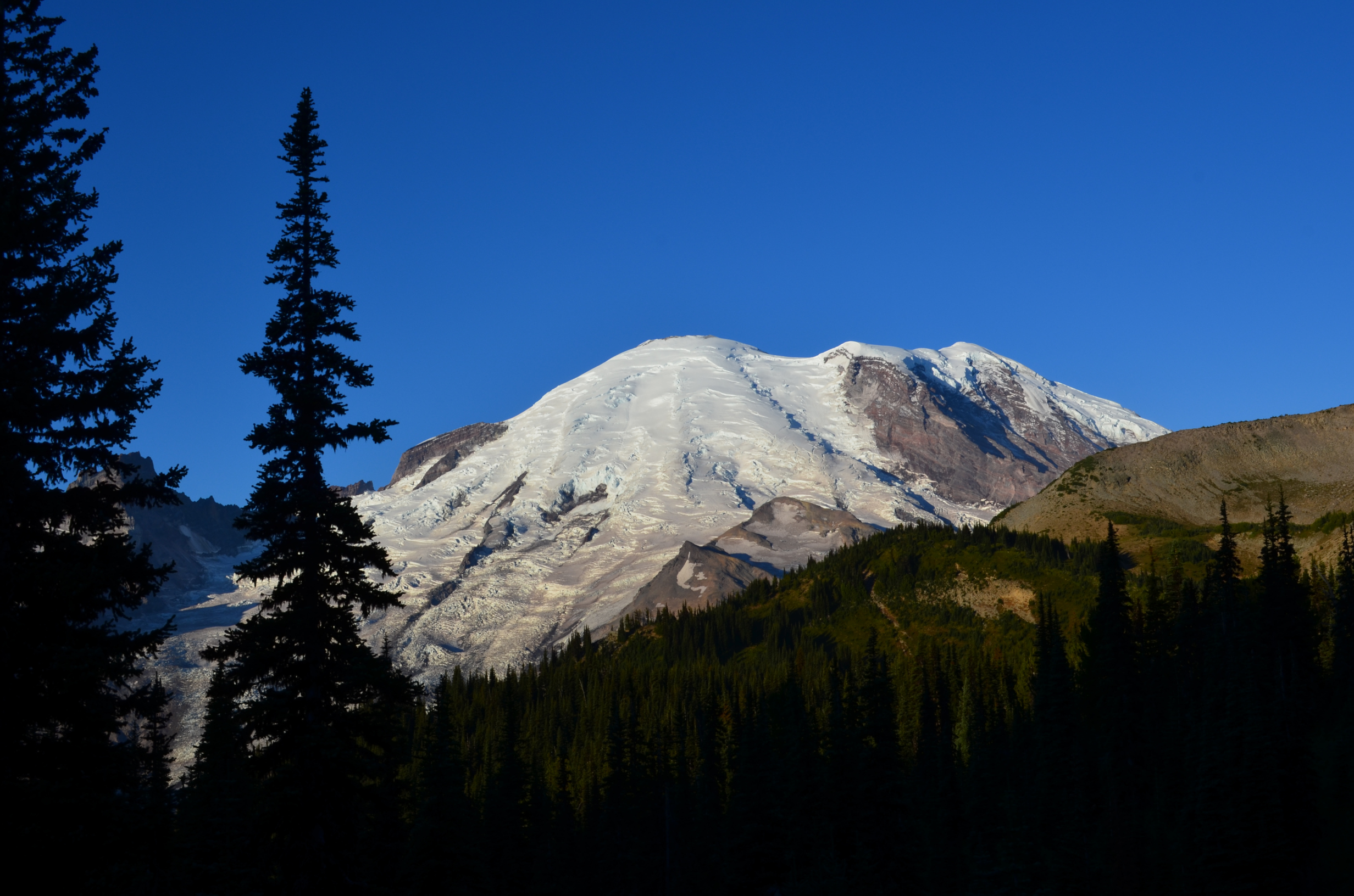
The view of Mt. Rainier from North Puyallup Campground.
It was still raining when I got up. I explored the area a bit and found the campsite where I camped with a scout troop about 15 years before. It kept raining, so I had to pack camp wet and carry that extra water on to the next campsite. After I hiked awhile it cleared up.
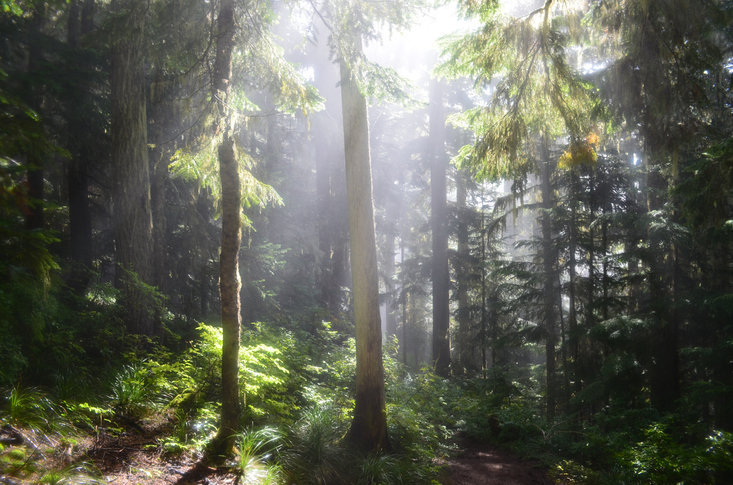
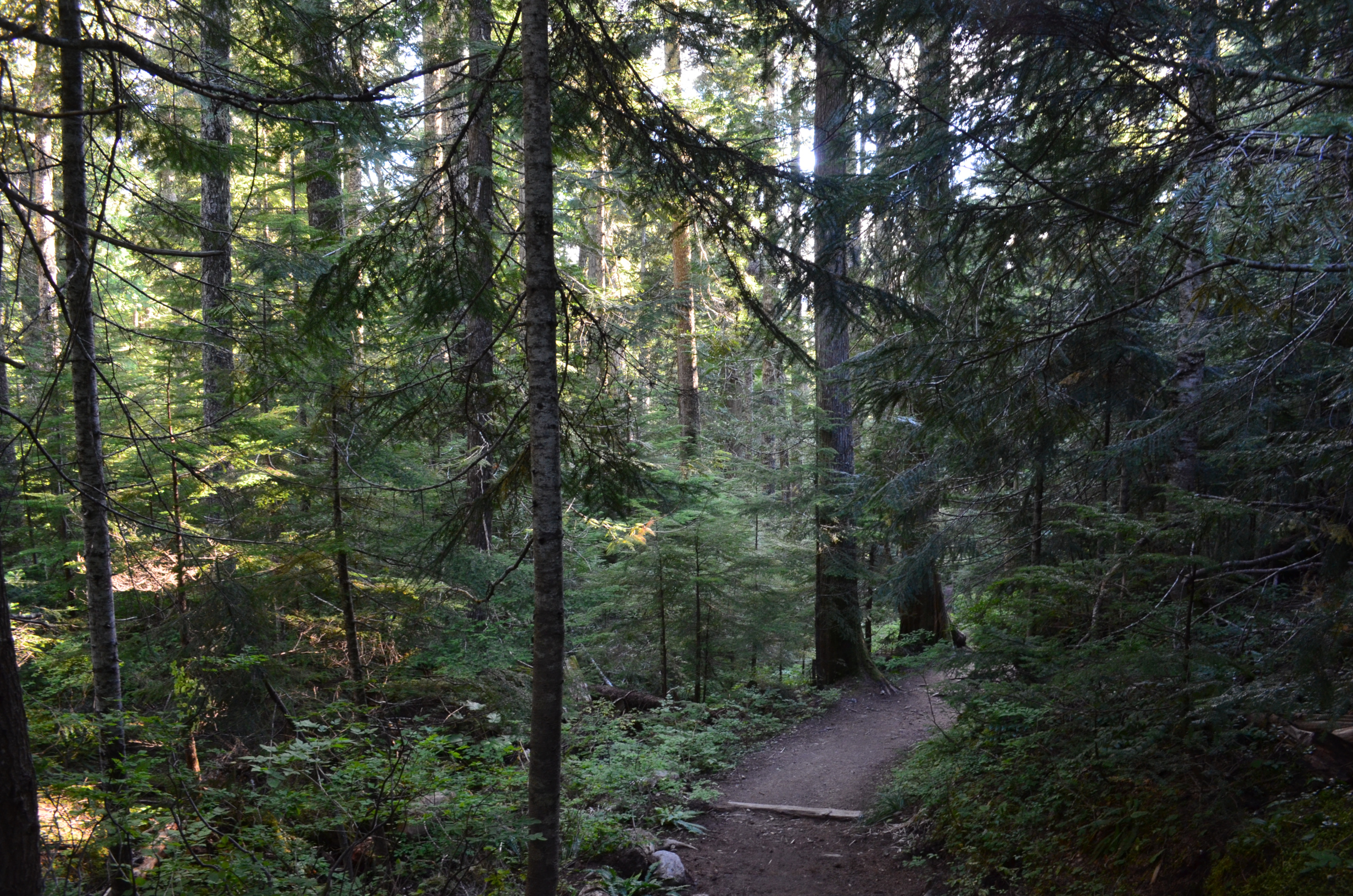
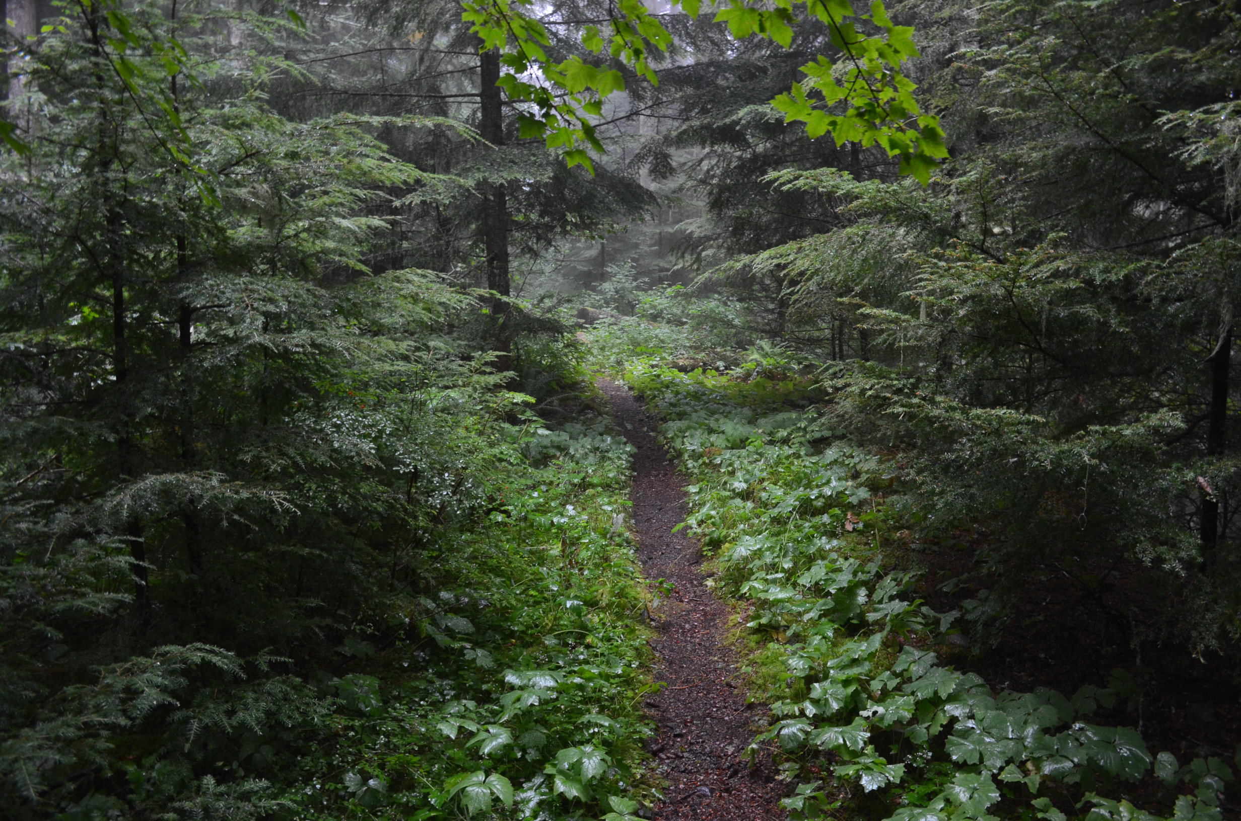
Further up the trail.
A nice day, but I didn't manage to dry my gear until the following morning. I made it to Mowich lake without any trouble.
Drying gear at Mowich Lake the next morning.
15.1 miles and 4400ft climb from North Puyallup Camp; 34.6 miles, 10300ft total.
After drying my gear I headed down Ipsut Creek. I tried to take a photo of where The Wonderland Snow Bridge was, but I couldn't find the spot. It was probably overgrown with vegetation, and I didn't have the time to backtrack and search for it.
Another of the large mushrooms that roam freely in the area.
After reaching the bottom of Ipsut Creek I started up the Carbon River.
There was a nice suspension bridge connecting the Spray Park to the Wonderland trail. One of the u-bolts was a runner-up for The 2014 Most Scenic Clamping U-Bolt of the year.
And, while stopped here, I ate the last of my cookies. No more weight to carry. No more cookies to eat...
The snout of Carbon Glacier.
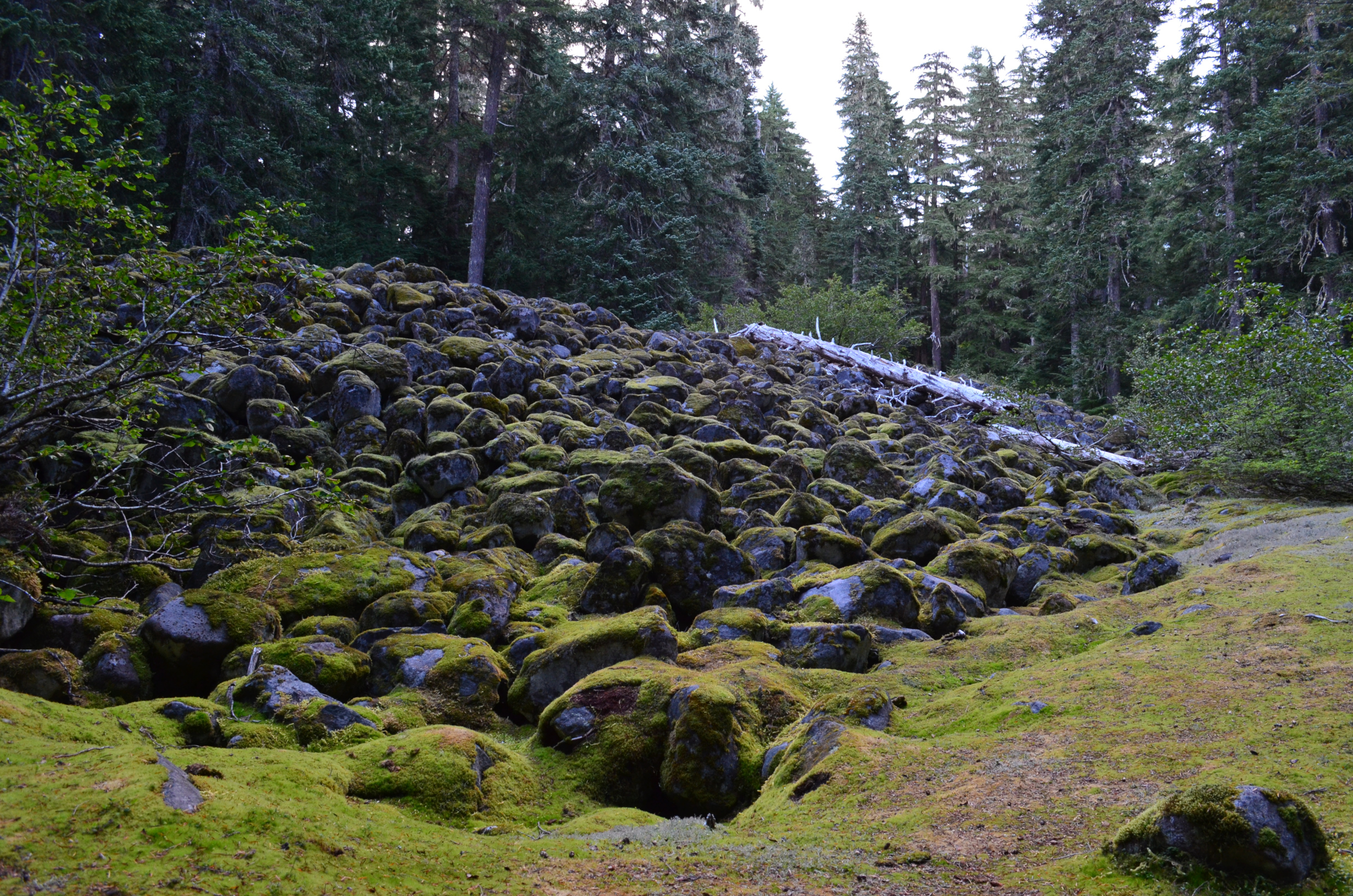
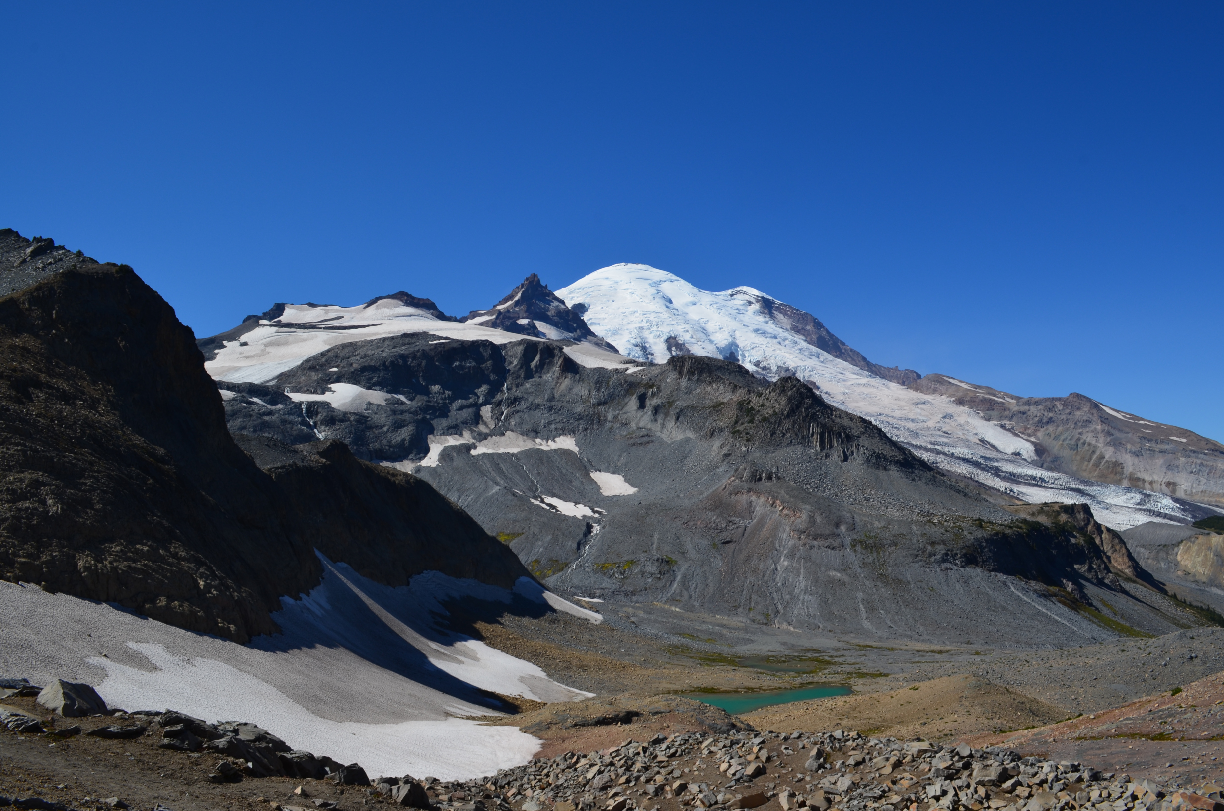
Melting glaciers leave behind a highly unstable pile of rocks. While there are often ice caves in them, they are just too dangerous to be worth going to.
Every so often, be sure to pause to appreciate the moss.
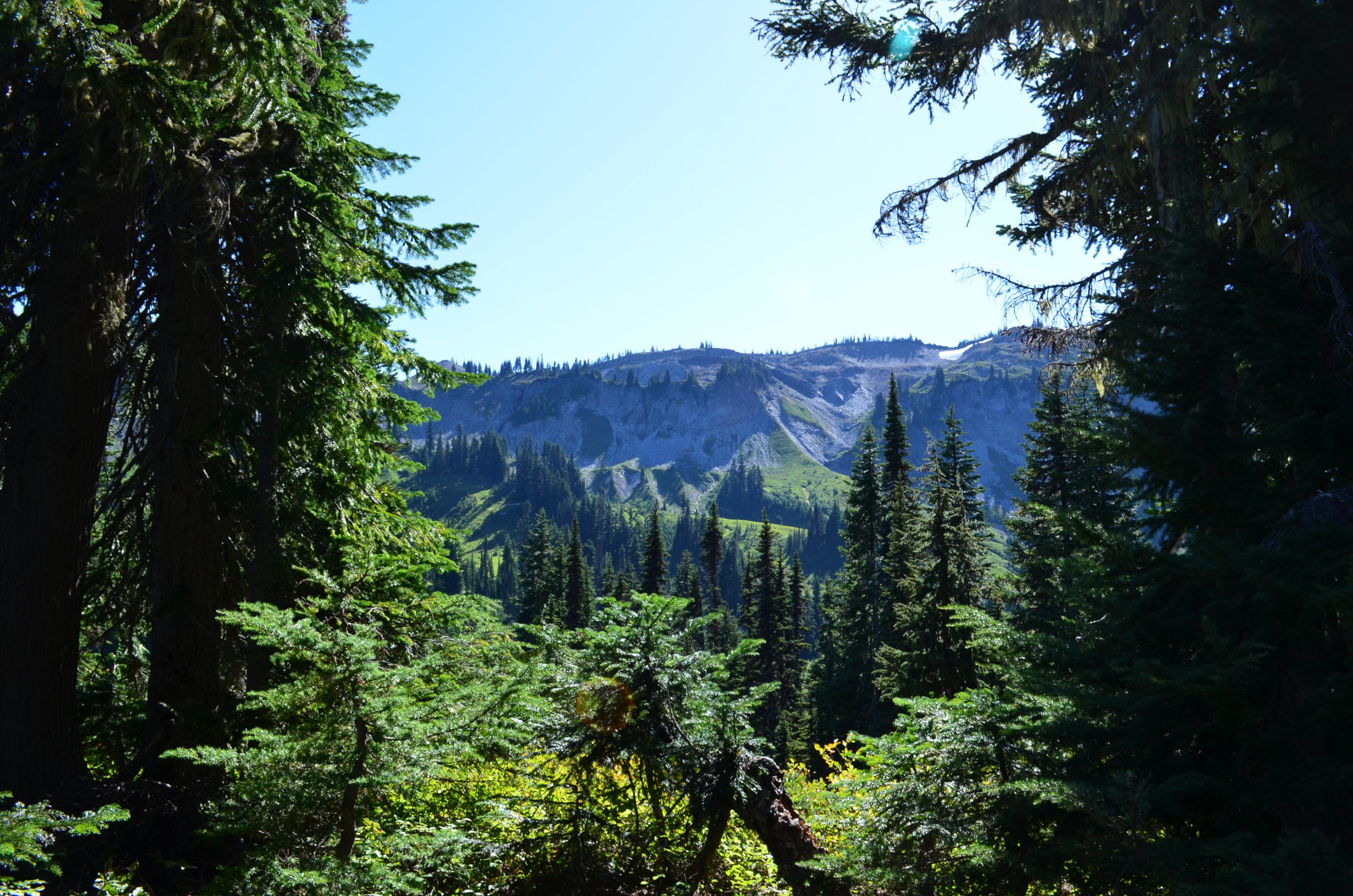
And enjoy the scenery.
It took awhile. But, despite the cookie depletion, I finally made it to Mystic Lake Camp. Days hike of 13.5 miles, 4,100ft. Total 48.1 miles, 14400ft.
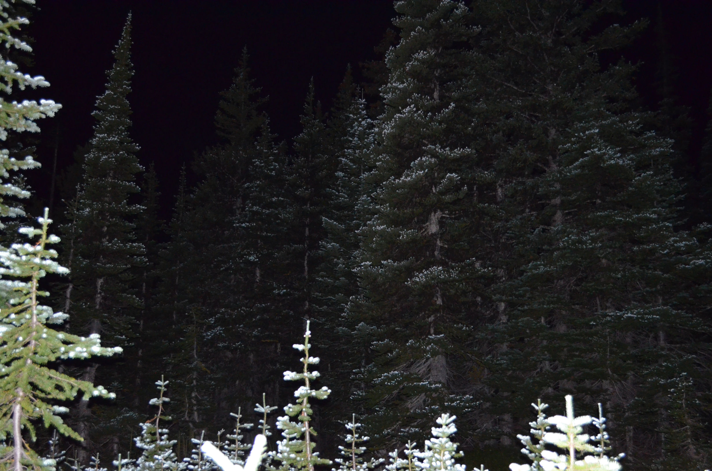
That evening I tried some nighttime photography.
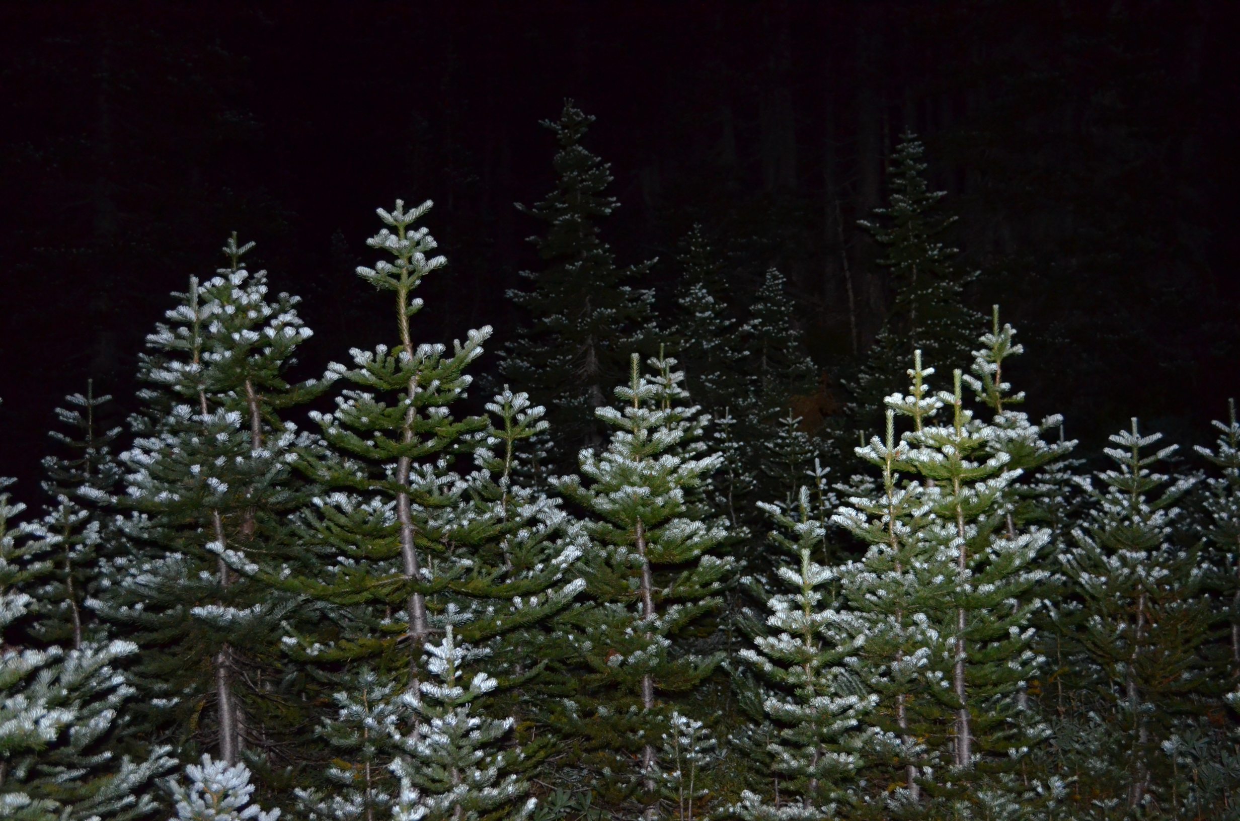
I found that the new growth on the trees reflected the camera flash far more than the rest of the tree. It created a unique effect.
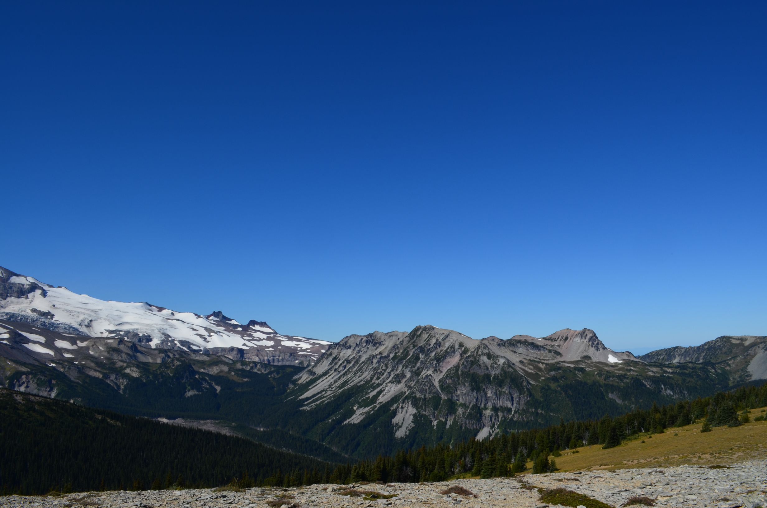
The next day I departed for Sunrise Camp. I have now circled about halfway round the mountain.
This was a shorter day, giving me some time to relax and hike around the Sunrise area. This is the view of the Mt. Rainier from near Sunrise.
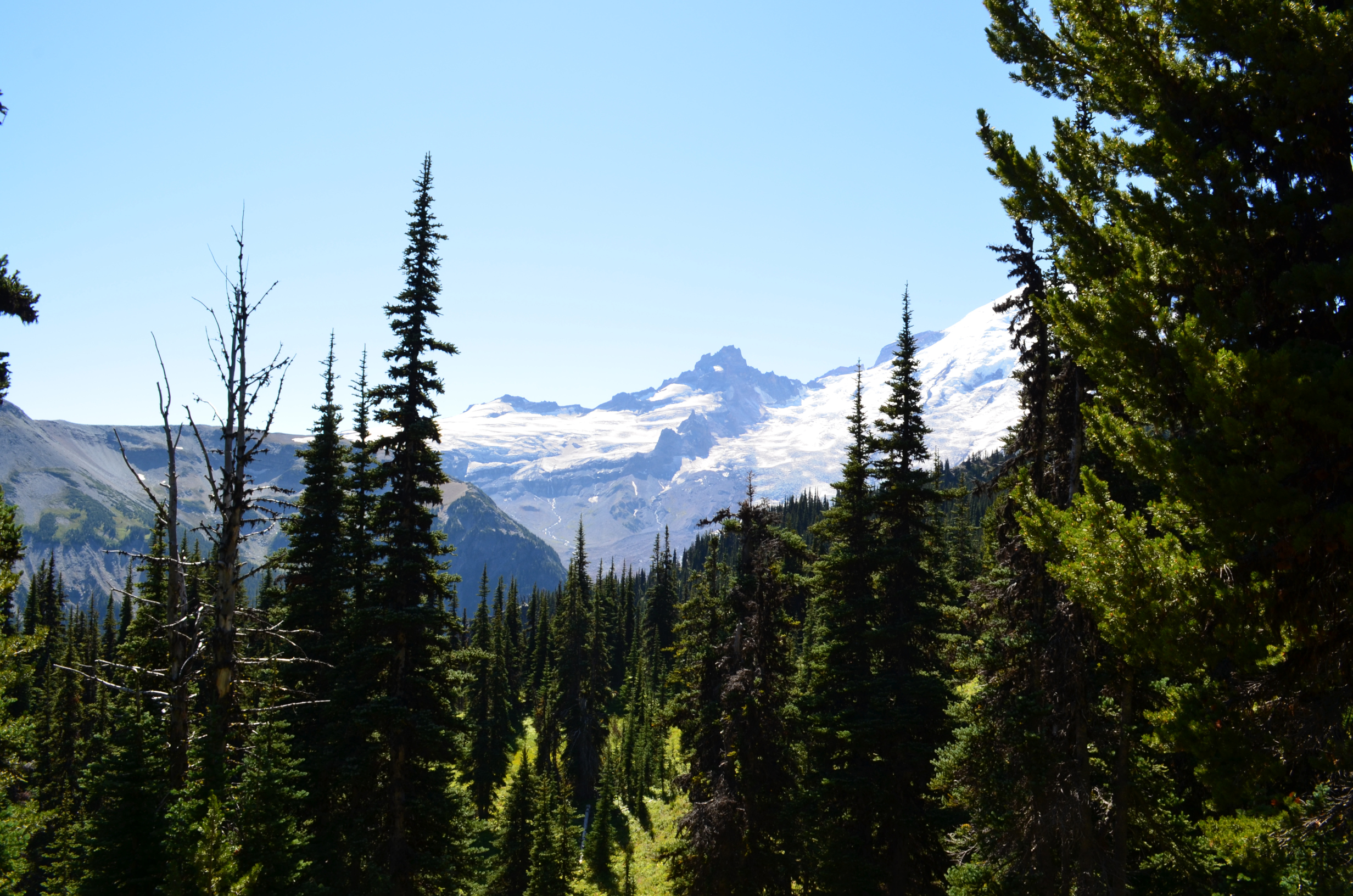
My first attempt at climbing Mt. Rainier was via the Camp Sherman / Emmons Glacier route, which can be seen in this photo. I didn't make it that time, but did make it later on via the more common Camp Muir / Ingraham Glacier route.
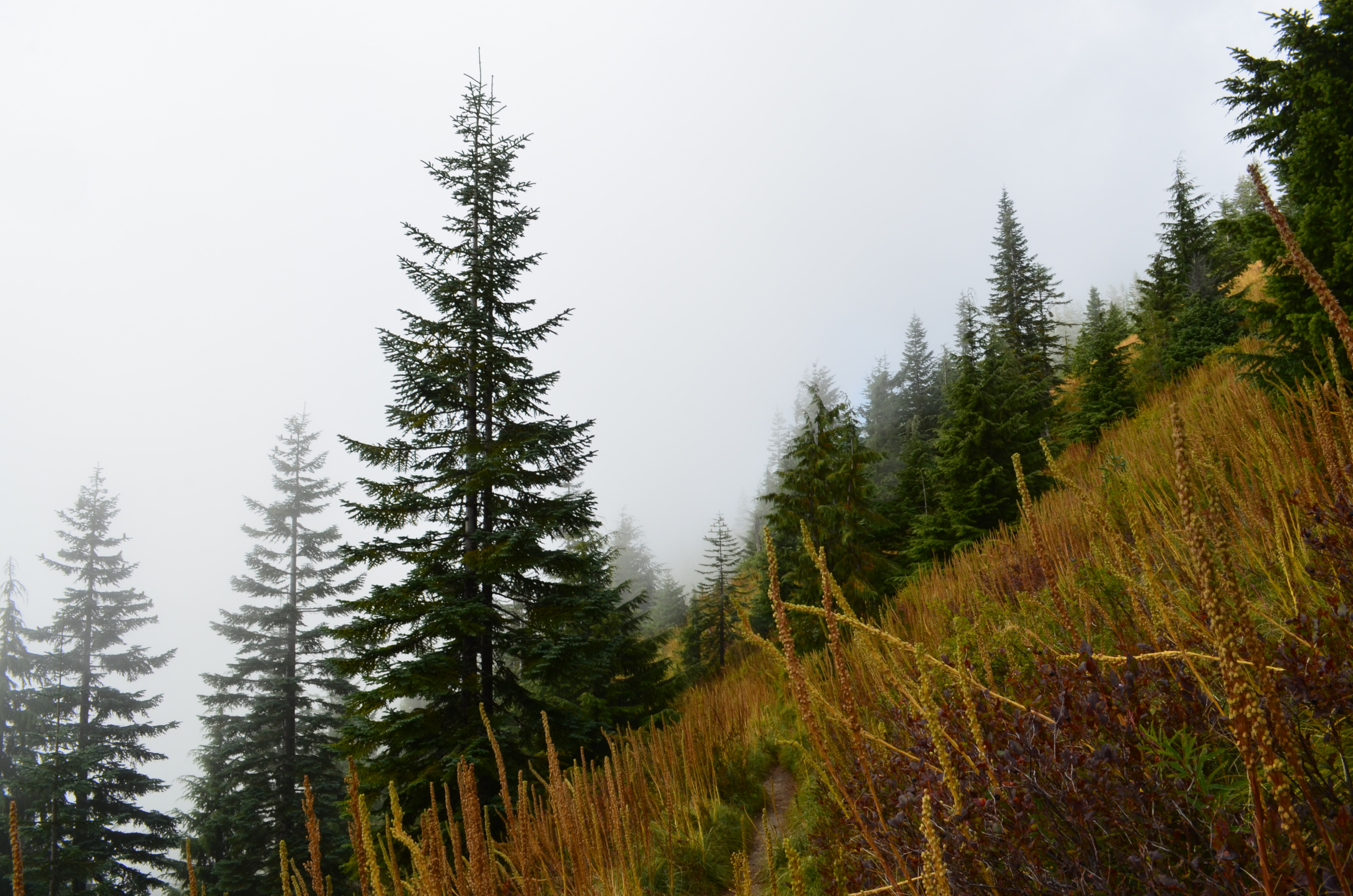
Looking back the way I came.
Views at Sunrise were often like this one.
Arriving at Sunrise Camp around midday, I setup camp, stashed my gear, and secured what was left of my food.
Days hike 8.6 miles, 2,600ft climb. Total 56.7 miles, 17,000ft climb.
Little Tahoma Peak, seen from Sunrise.
I had been looking forward to getting a good meal after days on the trail. It doesn't take much to count as a good meal when you have been hiking that long. I got nothing but a burger of disappointment, and the ice cream machine was broken! Hopefully their food service has improved since then. At least I was able to combing some huckleberry coco and coffee to make a huckleberry moca
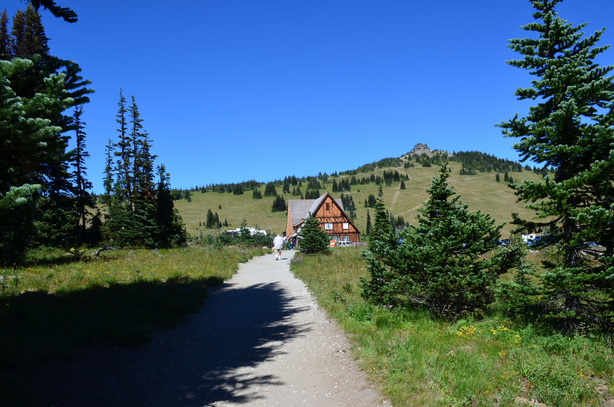
After finishing the burger of disappointment I hiked around a bit and enjoyed the views.
Another view of Little Tahoma Peak.
Mt. Rainier from Sunrise, at sunset.
The next day was a long one, headed for Nickle Creek Camp. Seen here is Mt. Rainier from the Panhandle Gap area.
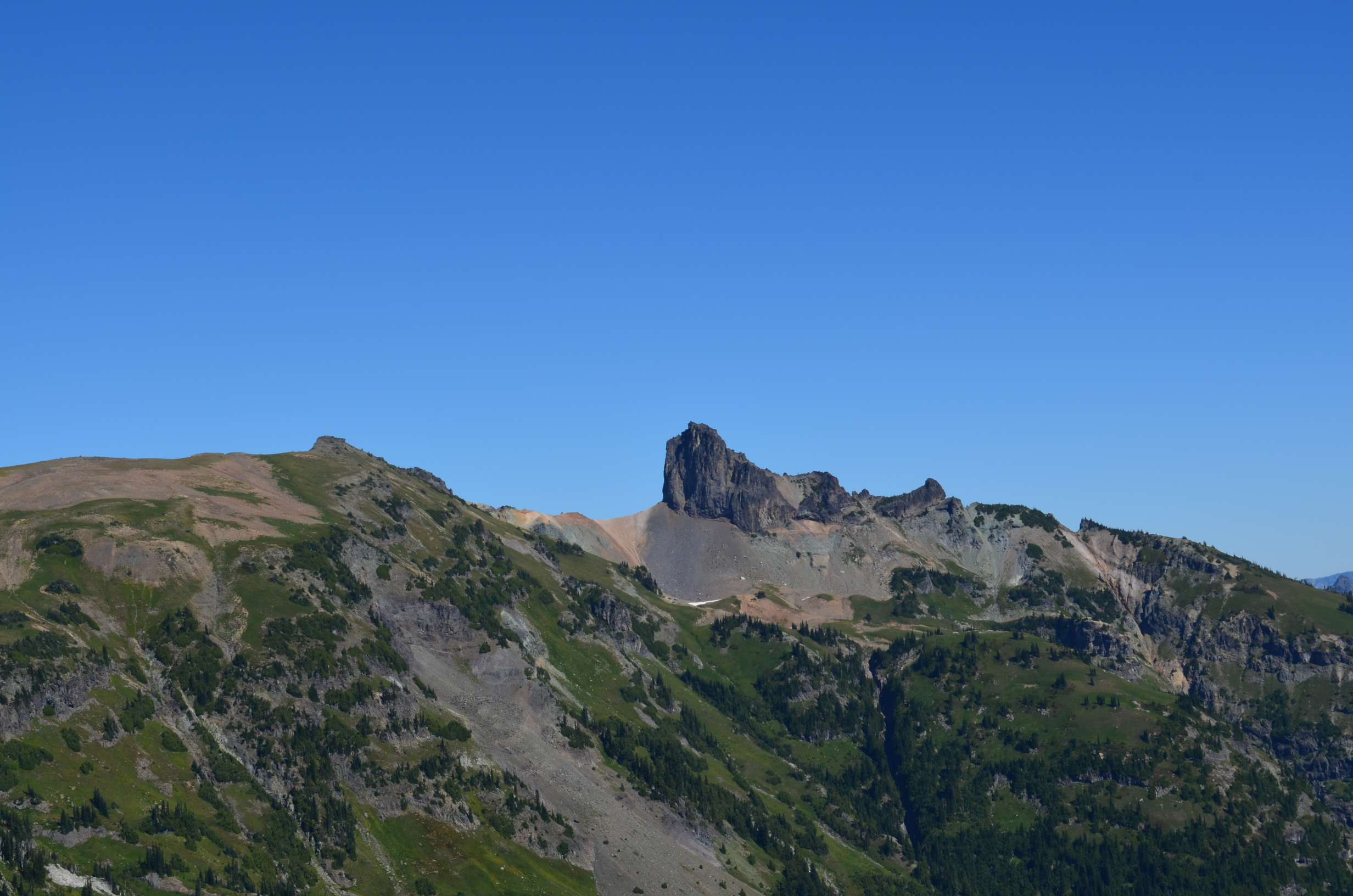
Cowlitz Chimneys
I see that, as of 2014, they still had their scenic restrooms. Also known as an outhouse minus the house...
Given just how common video cameras are these days, they really need to move something that gives more privacy.
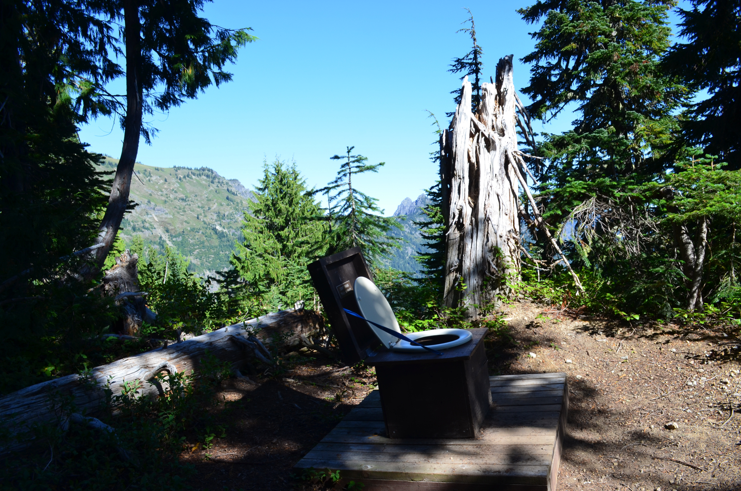
The view from the scenic restroom.
Near Indian bar, looking upstream. Once past Indian Bar, I just focused on getting to camp, not taking pictures.
Once I was to Nickle Creek Camp, the days hike was 21.1 miles, and the climb 4,000ft. Total 77.8 miles, 21,000ft.
The following way was a bit easier. The trail sort of parallels the road in the part of the park. Probably just as well, as it is a lot easer to take the bridge over the Muddy Fork of the Cowlitz River than to cross some other way.
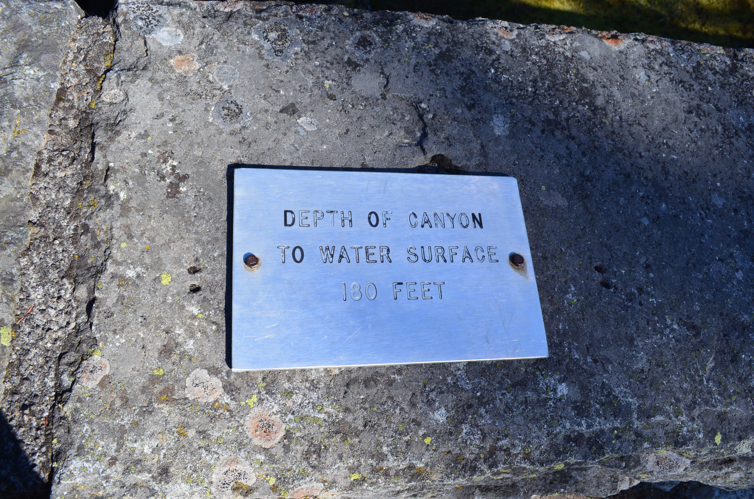
We clearly need the canyon to be deeper. At least twice as deep.
The Muddy Fork isn't that muddy.
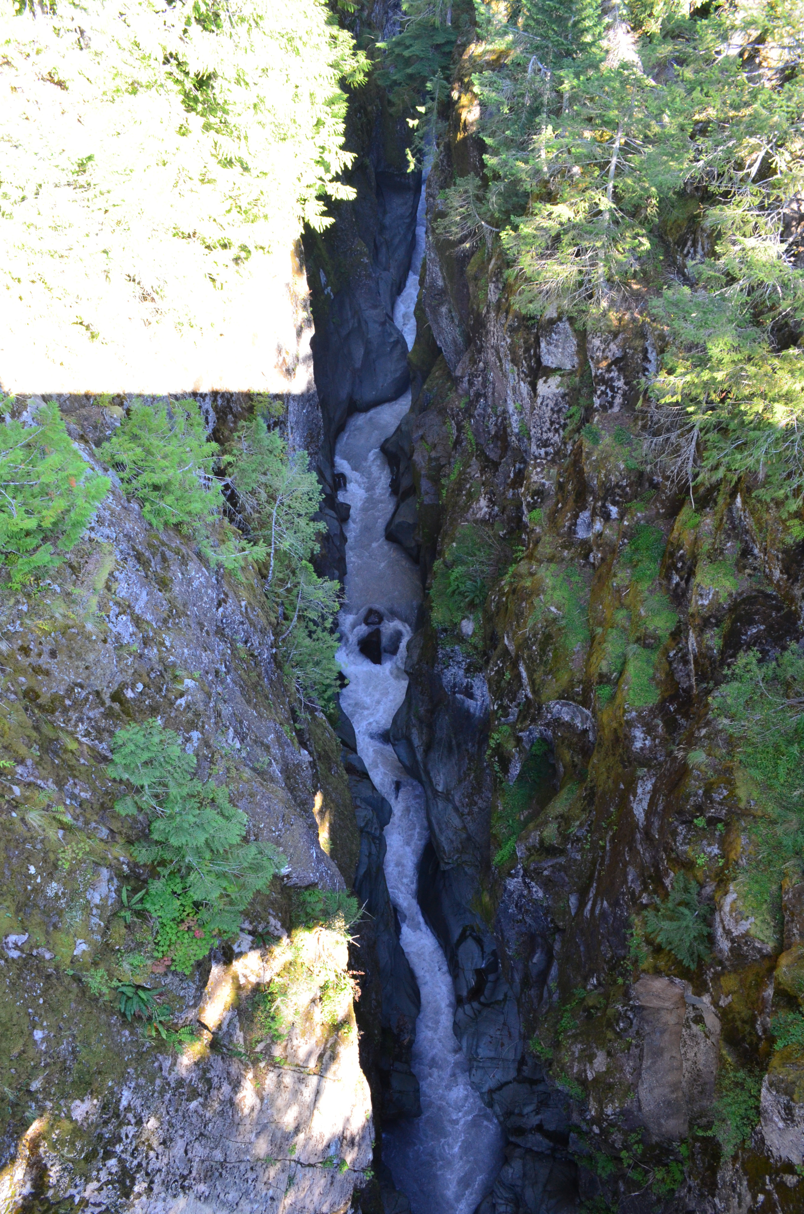
Looking down the Muddy Fork of the Cowlitz river.

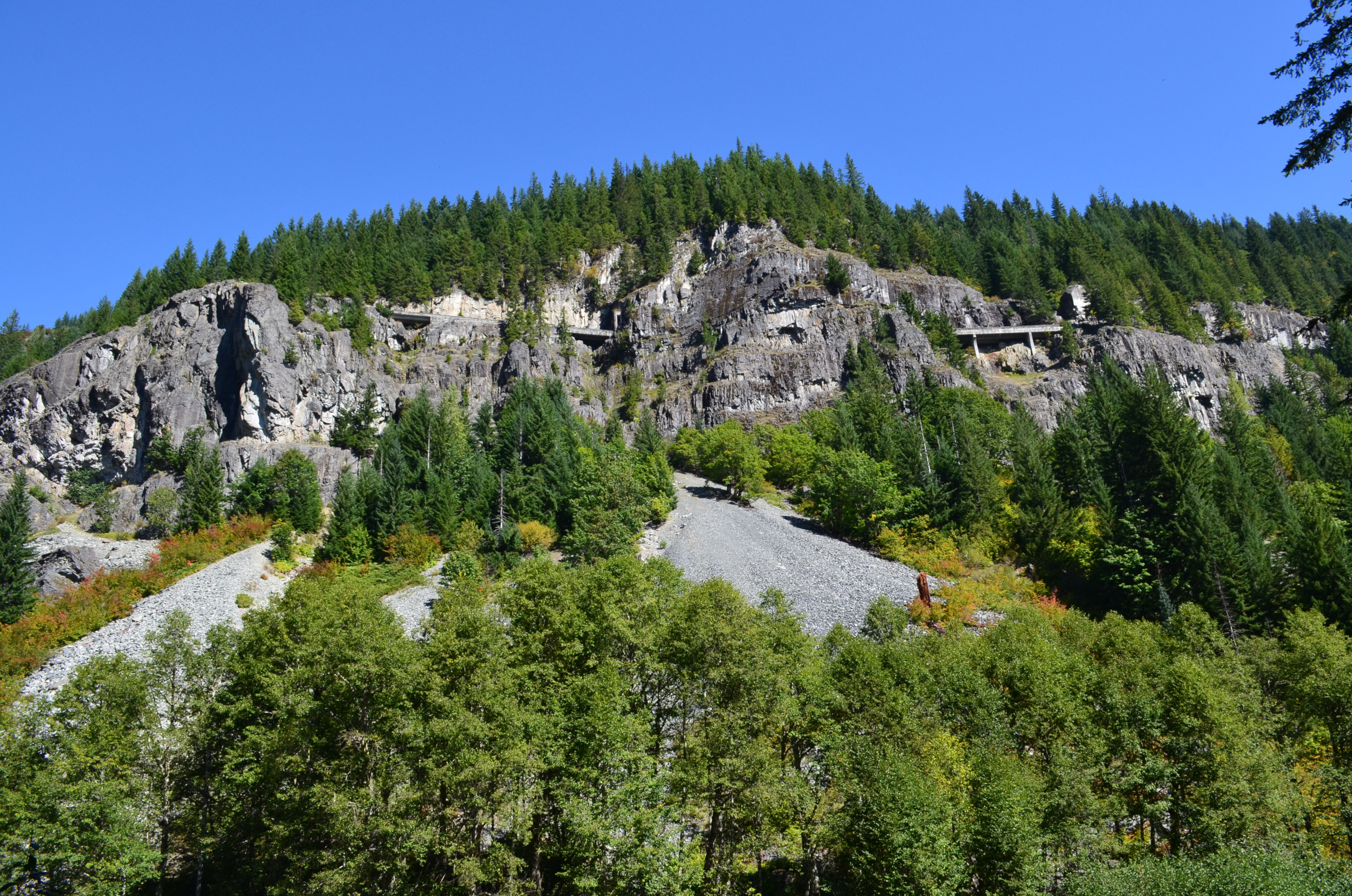
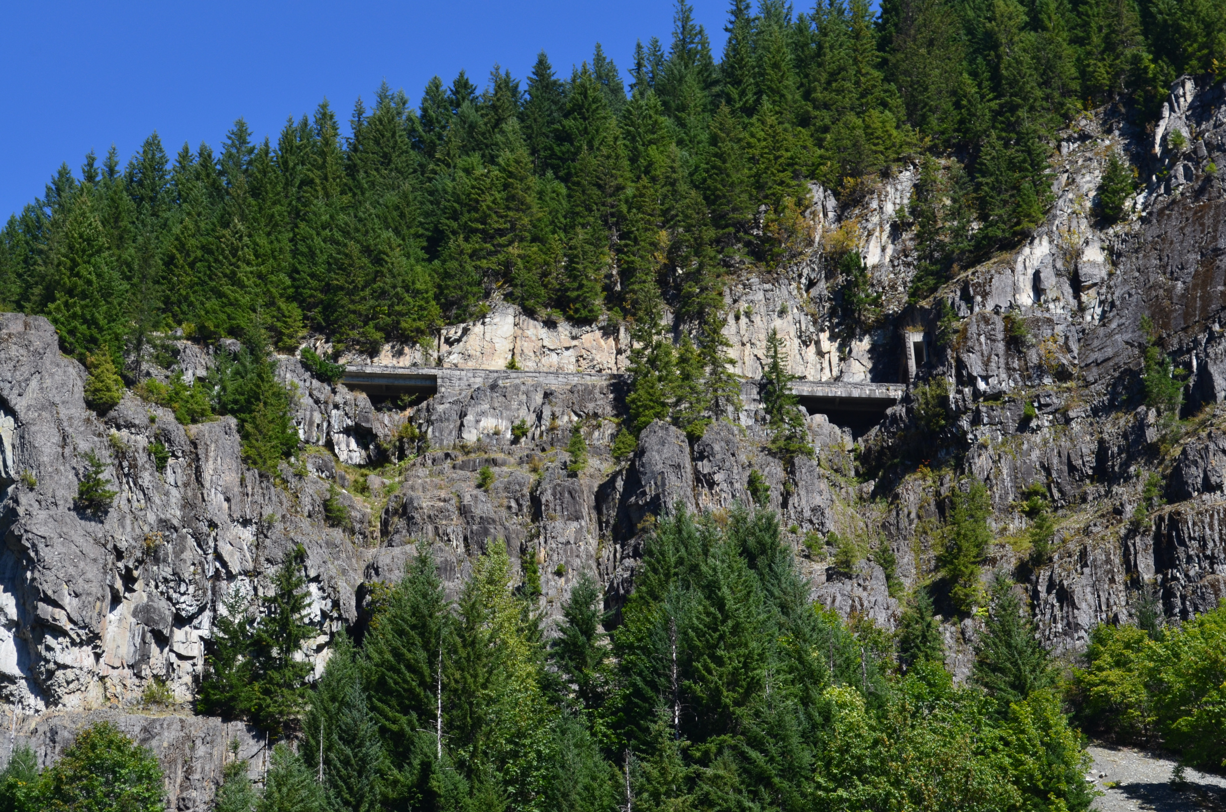
The road goes through a tunnel under the trail.
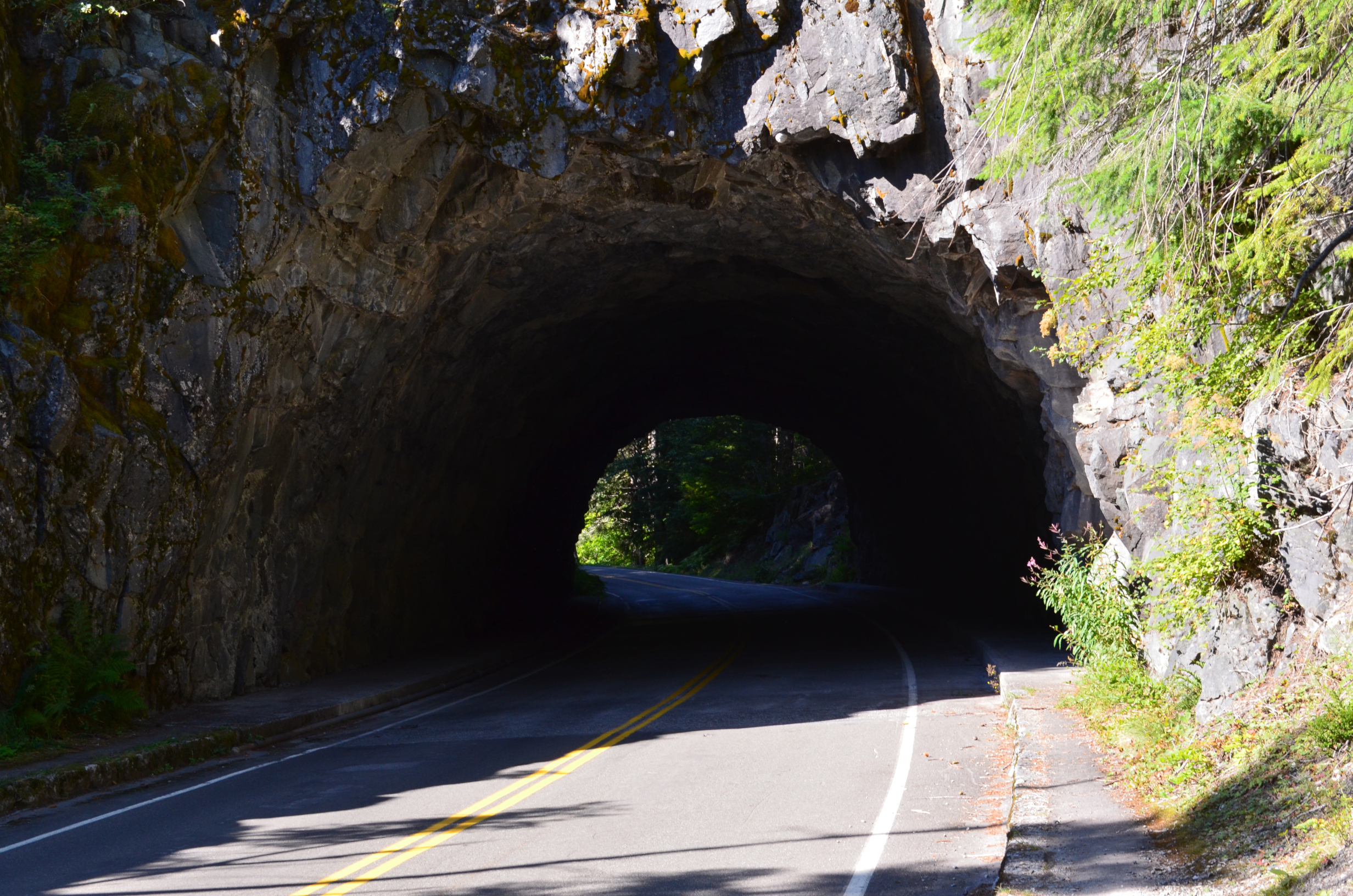
On top of the tunnel.
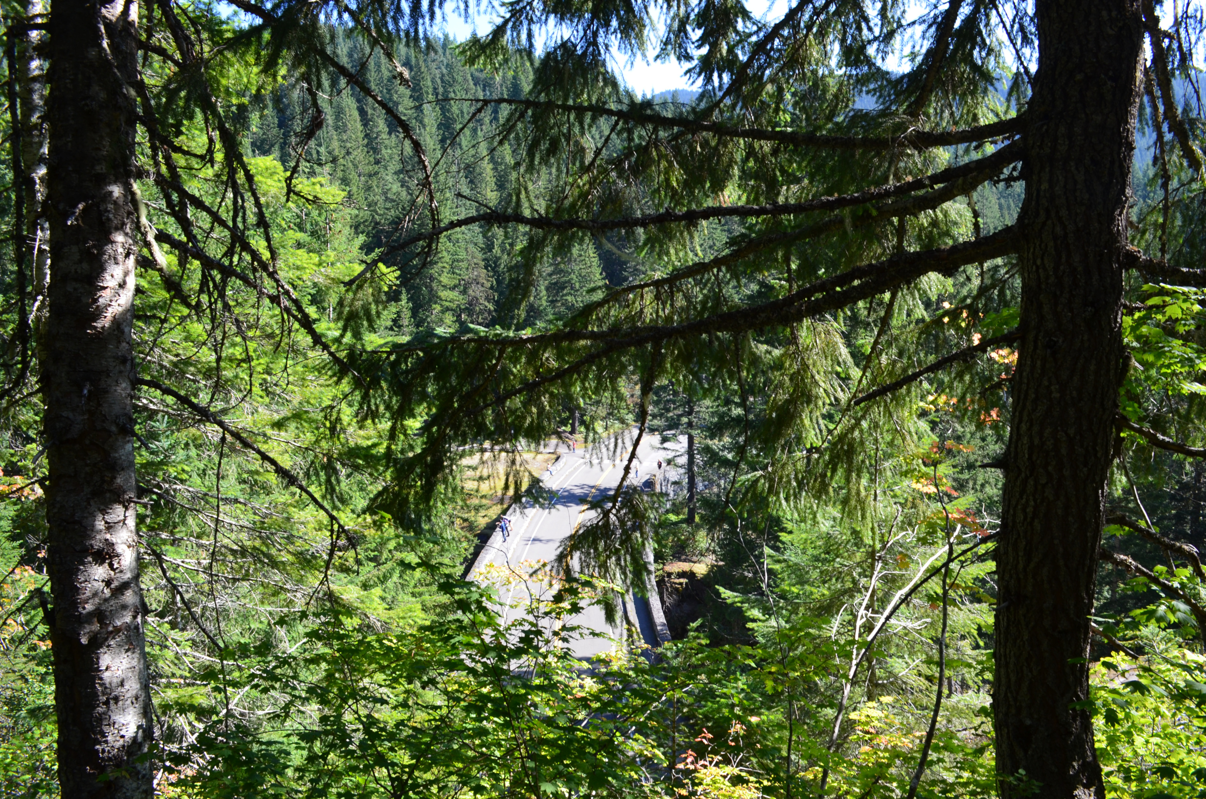
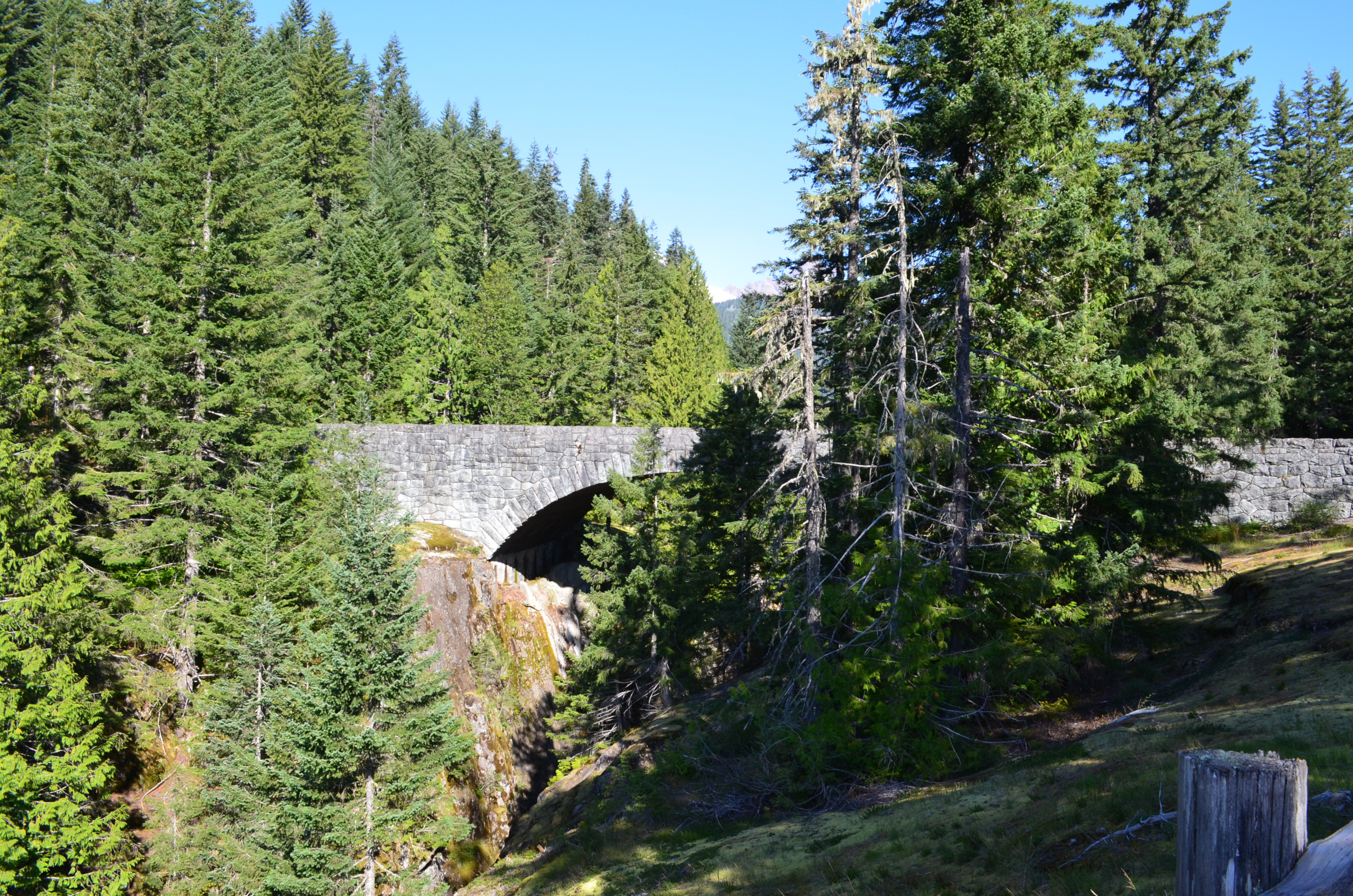
As the trail is below the road for a good ways, you get an interesting view of the Stevens Road Viaduct.
They need some way for the drivers to see what is, and isn't, below them.
Another rest stop...
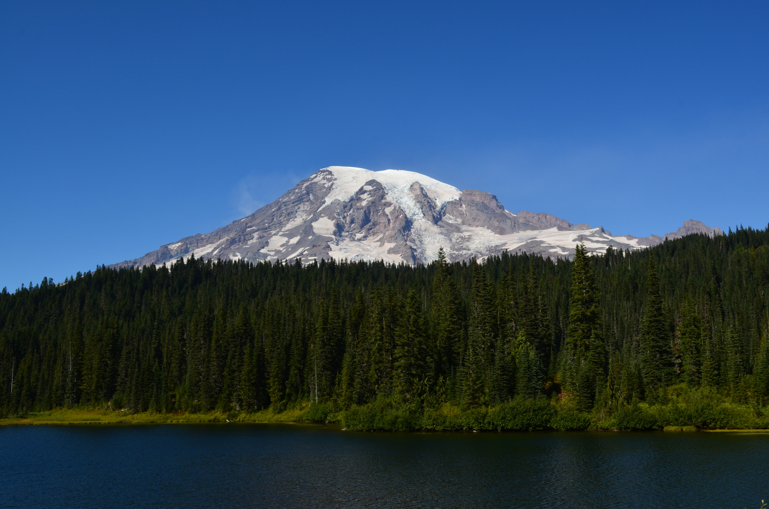
Mt. Rainier from Reflection Lake. A nice place, except for the crowding.
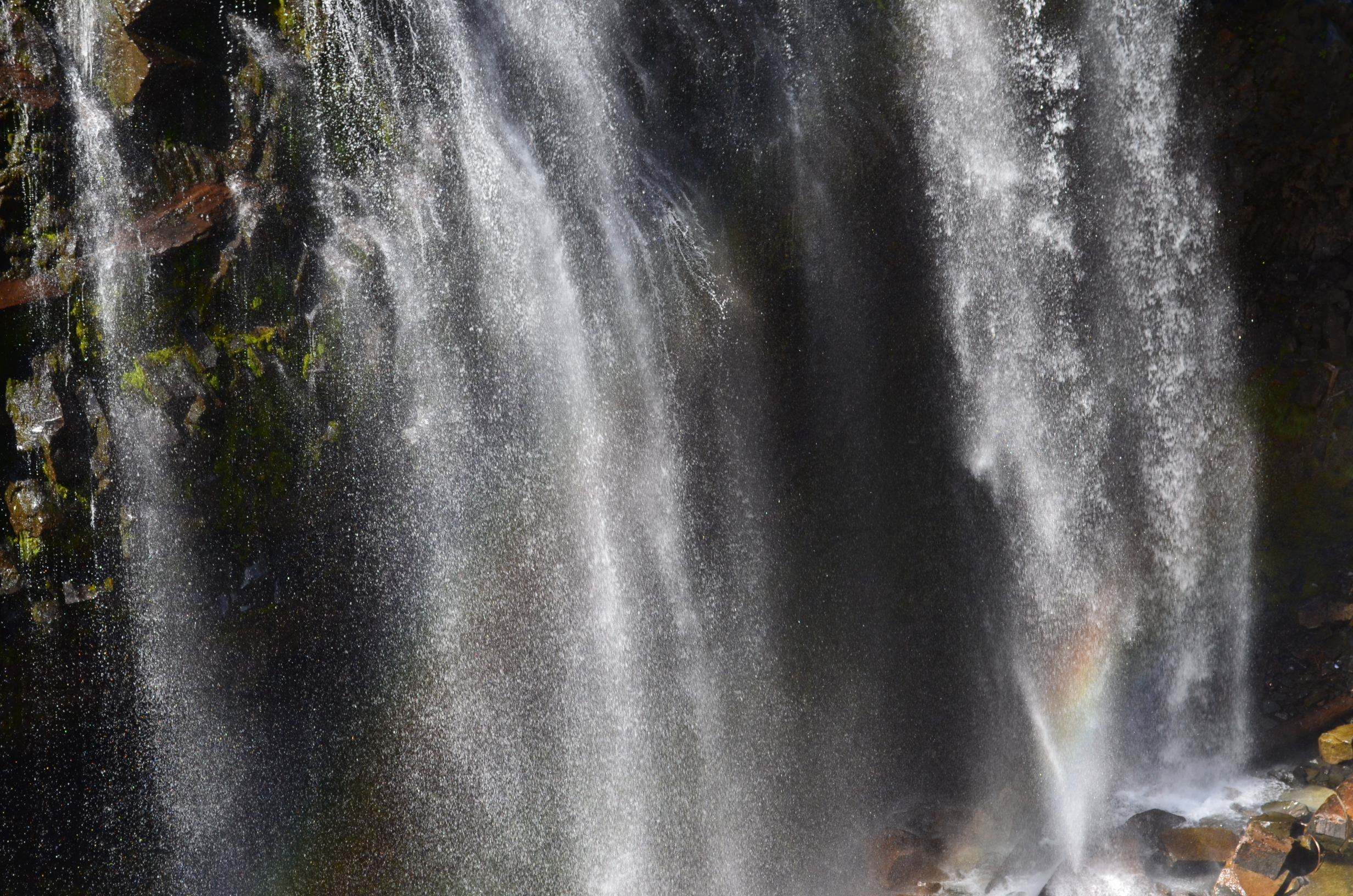
Narada Falls
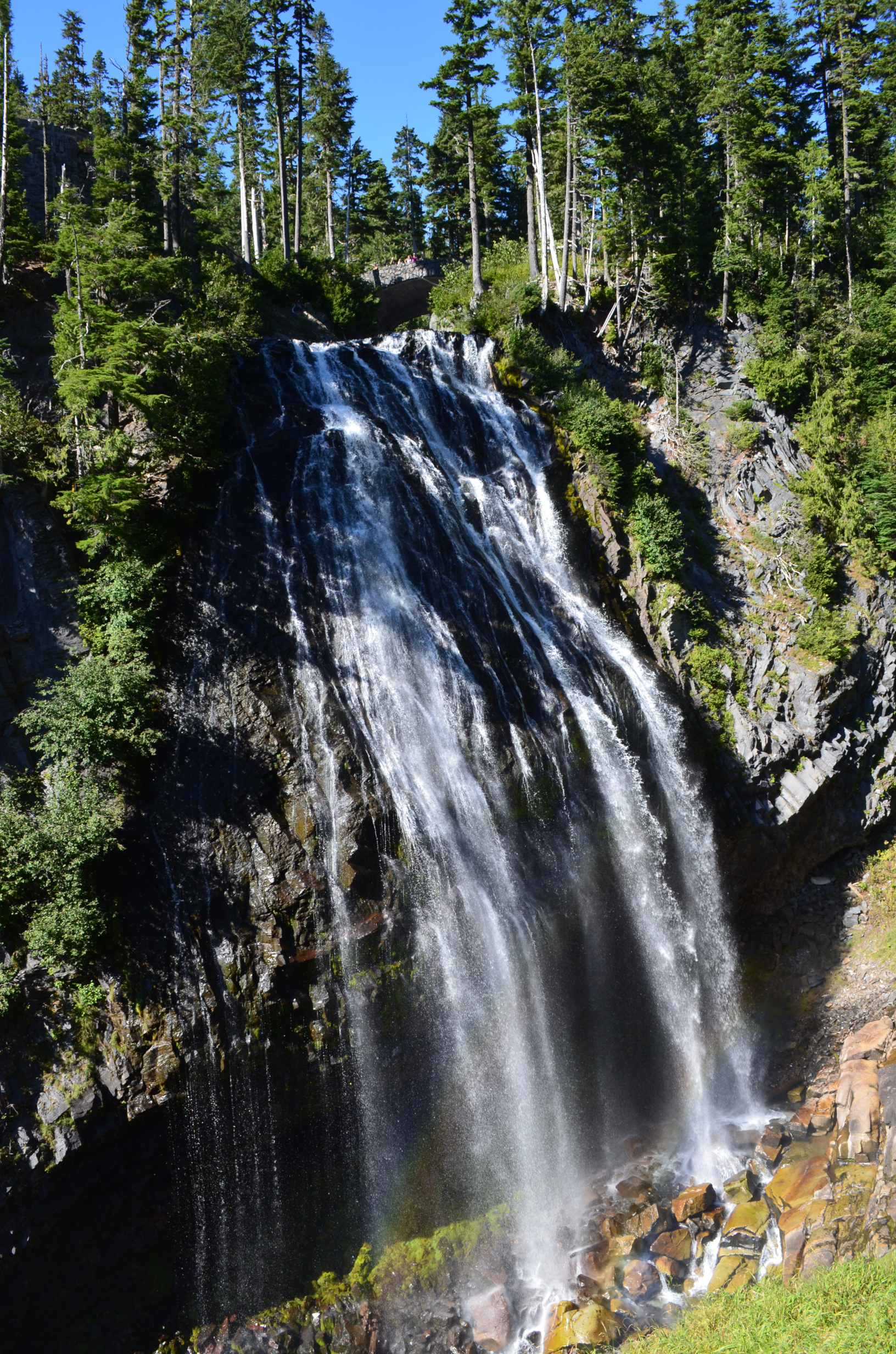
For some reason I keep thinking it is rainbow falls.
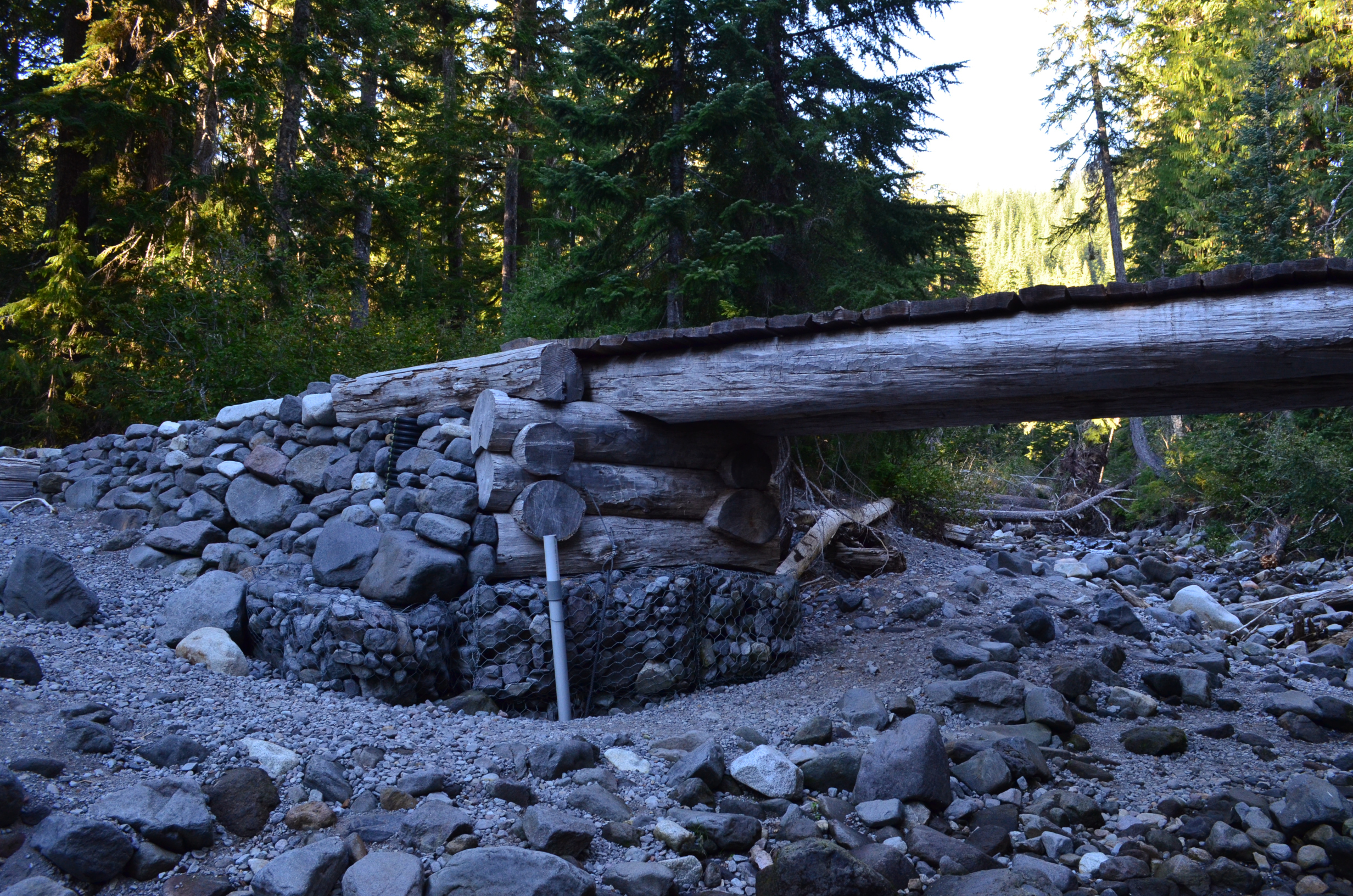
I guess they got tired of replacing the log here and went for a more permanent bridge.
Paradise River Camp; the last camp of the backpack.
Days hike 9.9 miles, 2,900ft. Total 87.7 miles, 23,900ft.
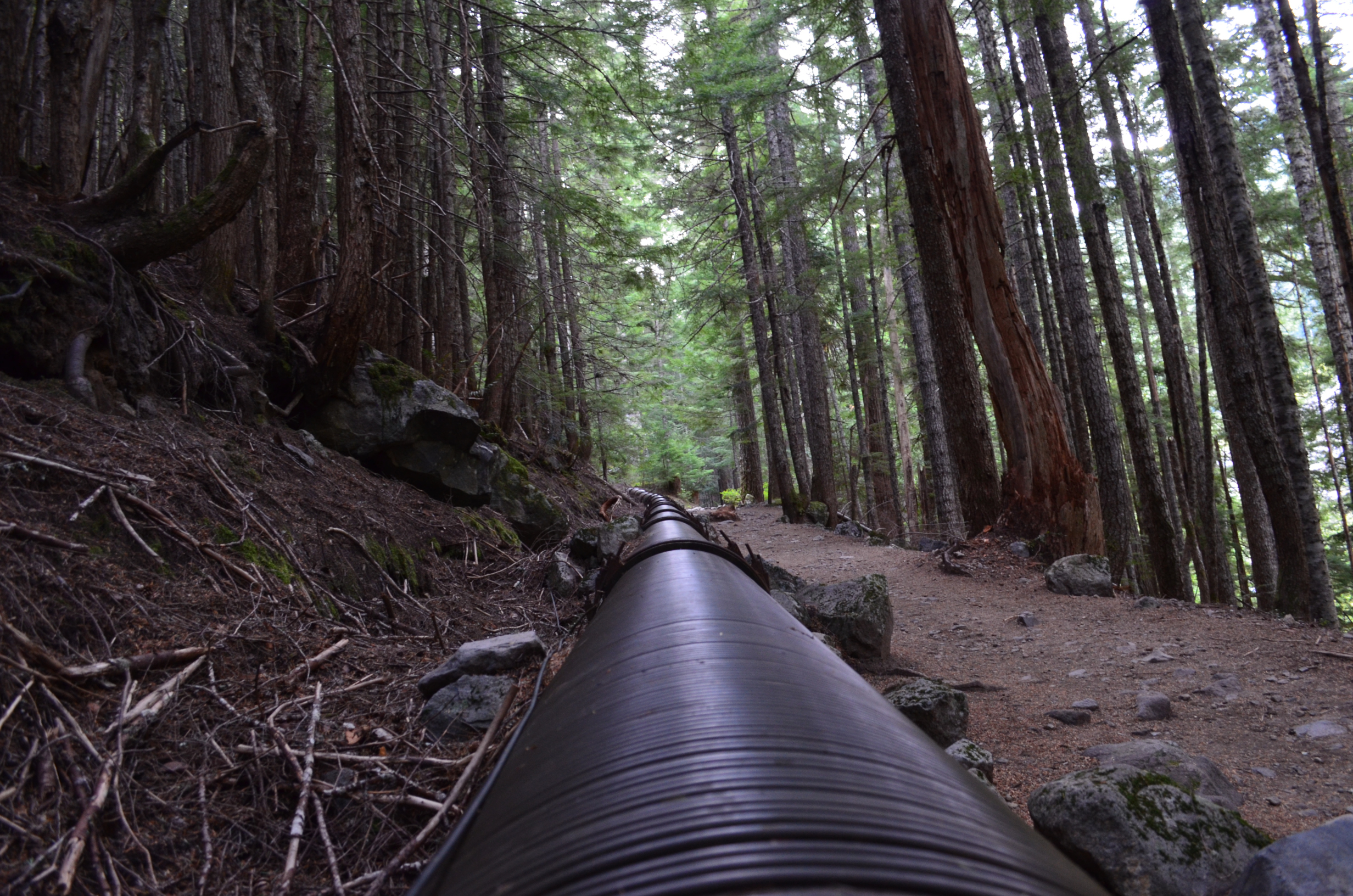
The last day was just hiking down Paradise River to Longmire. A good part of the trail followed an old wooden pipe held together with steal bands. Presumably it used to supply water to the Longmire area.
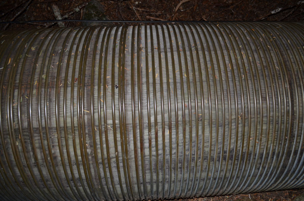
Parts of it were still in good shape.
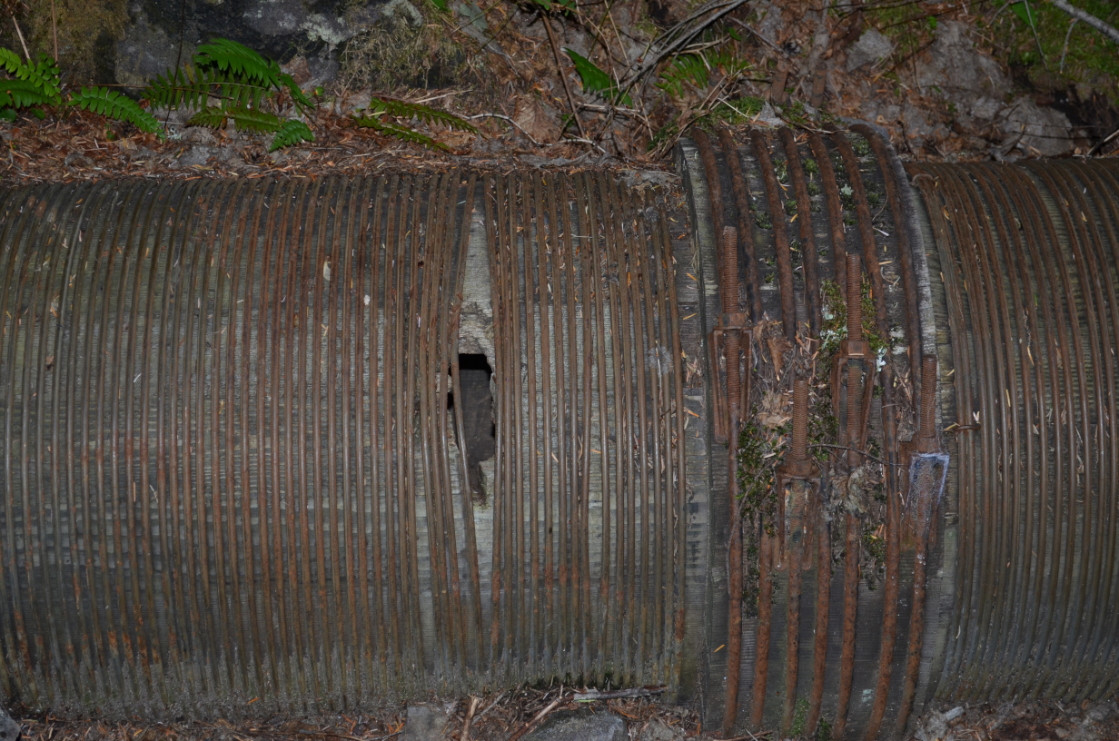
And parts had a few holes.
After crossing the last footbridge I returned to Longmire, got in the car, and drove home.
Days hike 3.6 miles, no climbing. Total 91.3 miles, 23,900ft climb.
It was a great backpack. Hopefully I can do it again someday.
Last Updated: Mar 26 2023; Fixed typo on canyon depth, added tag to jump to wooden pipe.
© David C. Hunter, 2014-2020
fb {at) dragonsdawn (dot] org
![]()
