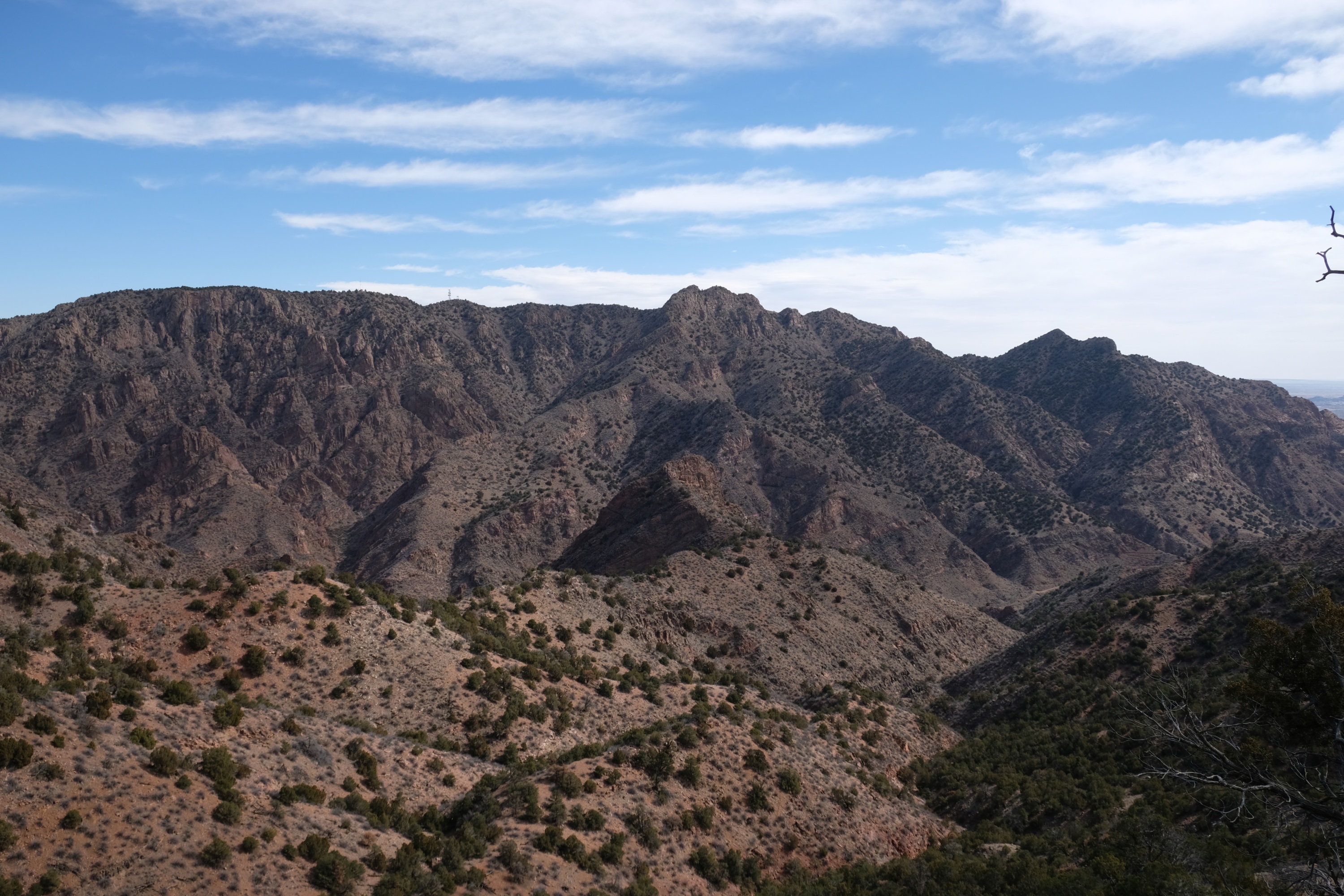
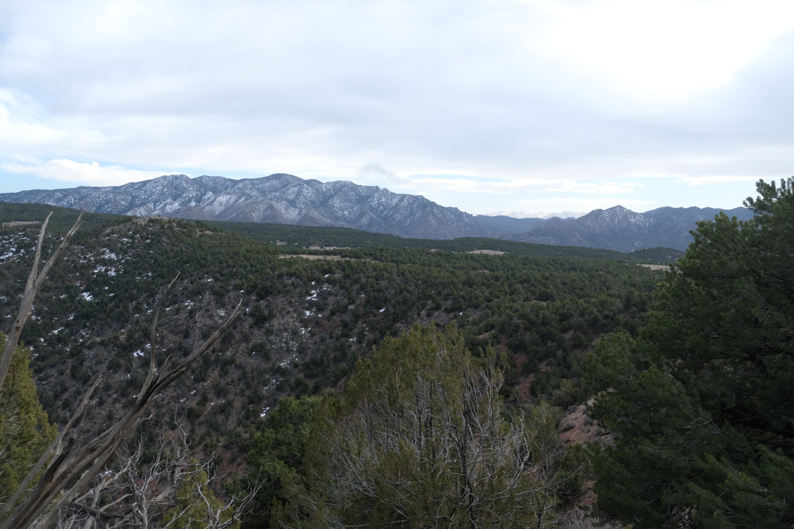
On Saturday I hiked down into the gorge. The main promontory across the canyon is Fremont Peak. I started by hiking to the hard-to-see promontory in the near ground, seen here below Fremont Peak.
Having left the early March 2021 igloo to melt in peace, I spent a weekend in late March 2021 camping near the south rim of the Royal Gorge. Carved by the Arkansas River as the mountains rose around it, Royal Gorge is deep, steep, and rugged. The glaciers during the last ice age must have skipped it as the canyon has a narrow V shape. I guess that, back during the last ice age, Colorado's glaciers had something against low altitude.
There is a paved road to the south side of the Royal Gorge Bridge. It is little-used now that the bridge is closed to vehicle traffic, and did not access good camp sites. I used dirt roads to access the south rim somewhere east of the bridge. There is some camping and hiking, but no trails into the gorge. The hike down to the river is cross country.
On Saturday I hiked down into the gorge. The main promontory across the canyon is Fremont Peak. I started by hiking to the hard-to-see promontory in the near ground, seen here below Fremont Peak.
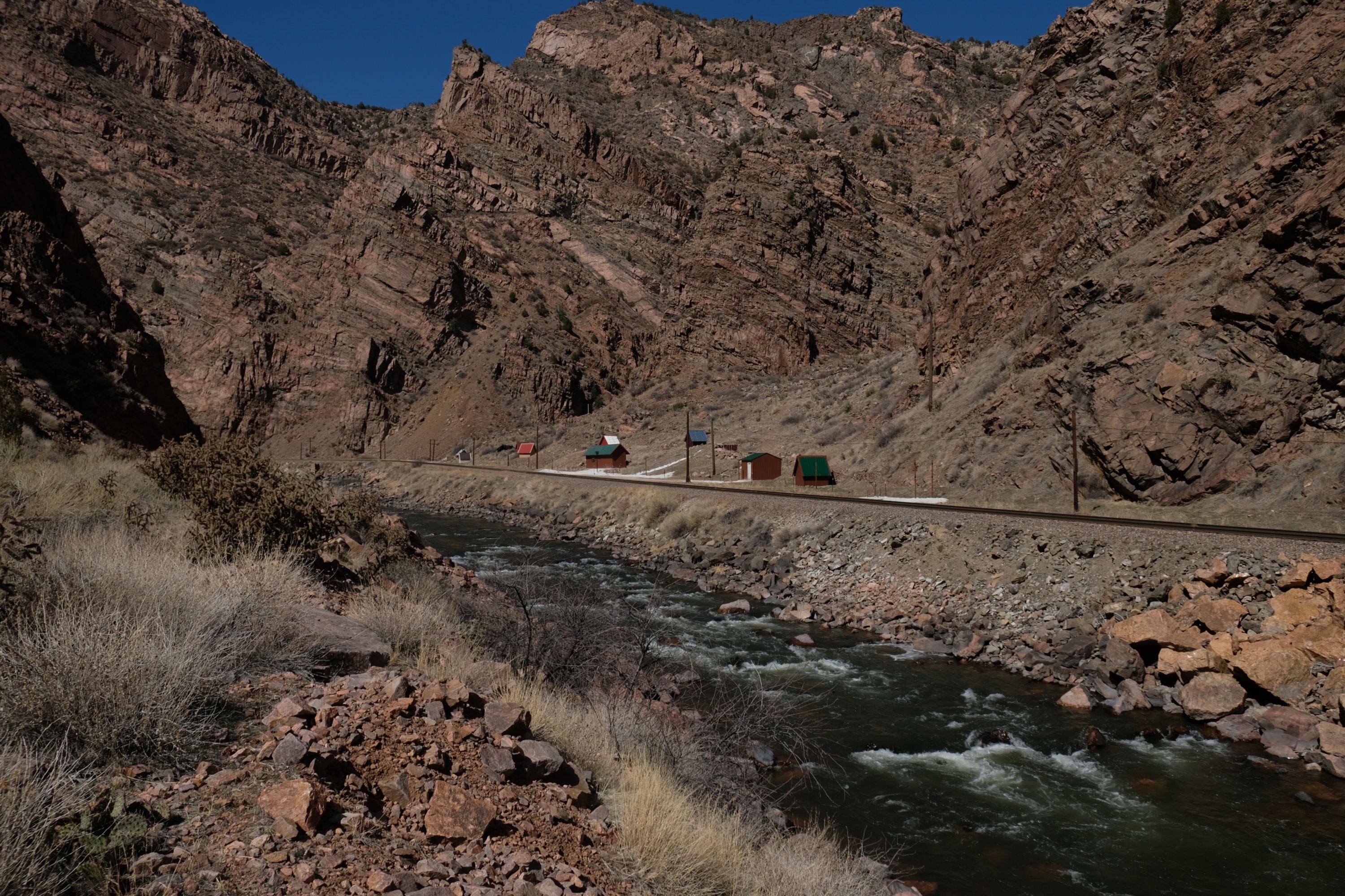
Looking west from the promontory. There is something in the canyon, near the railroad tracks. Looks like buildings, but the scale is off. Curious.
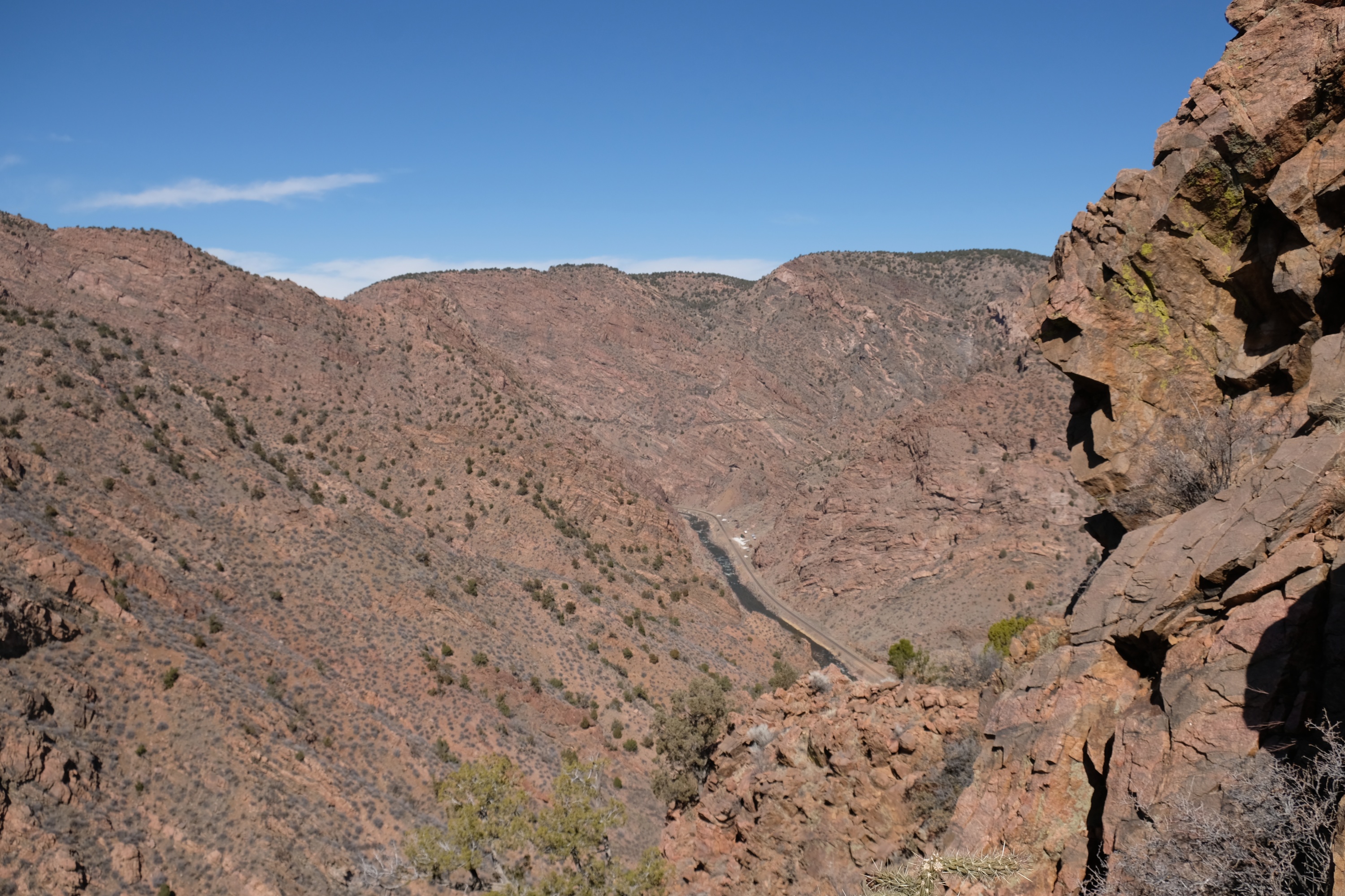
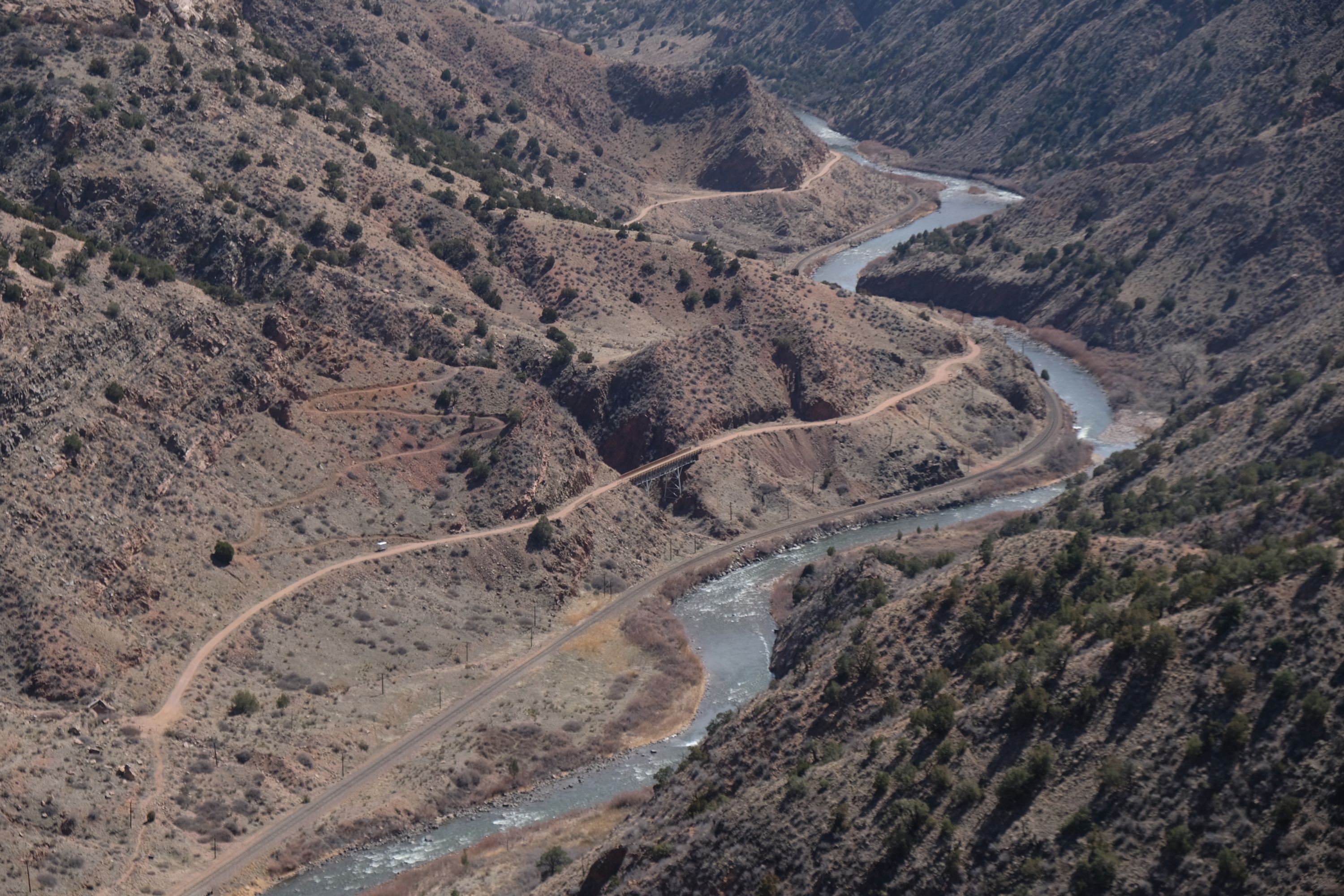
Looking east from the promontory I could see the Tunnel Drive Trail. It follows an old narrow gauge railroad grade up from Canyon City, and makes for a nice and easy walk up the river. Above it is a under-construction (as of Mar 2021) trail up Fremont Peak, which now makes a nice but not so easy hike up Fremont Peak. (Once construction was finished I hiked the trail, it is nice)
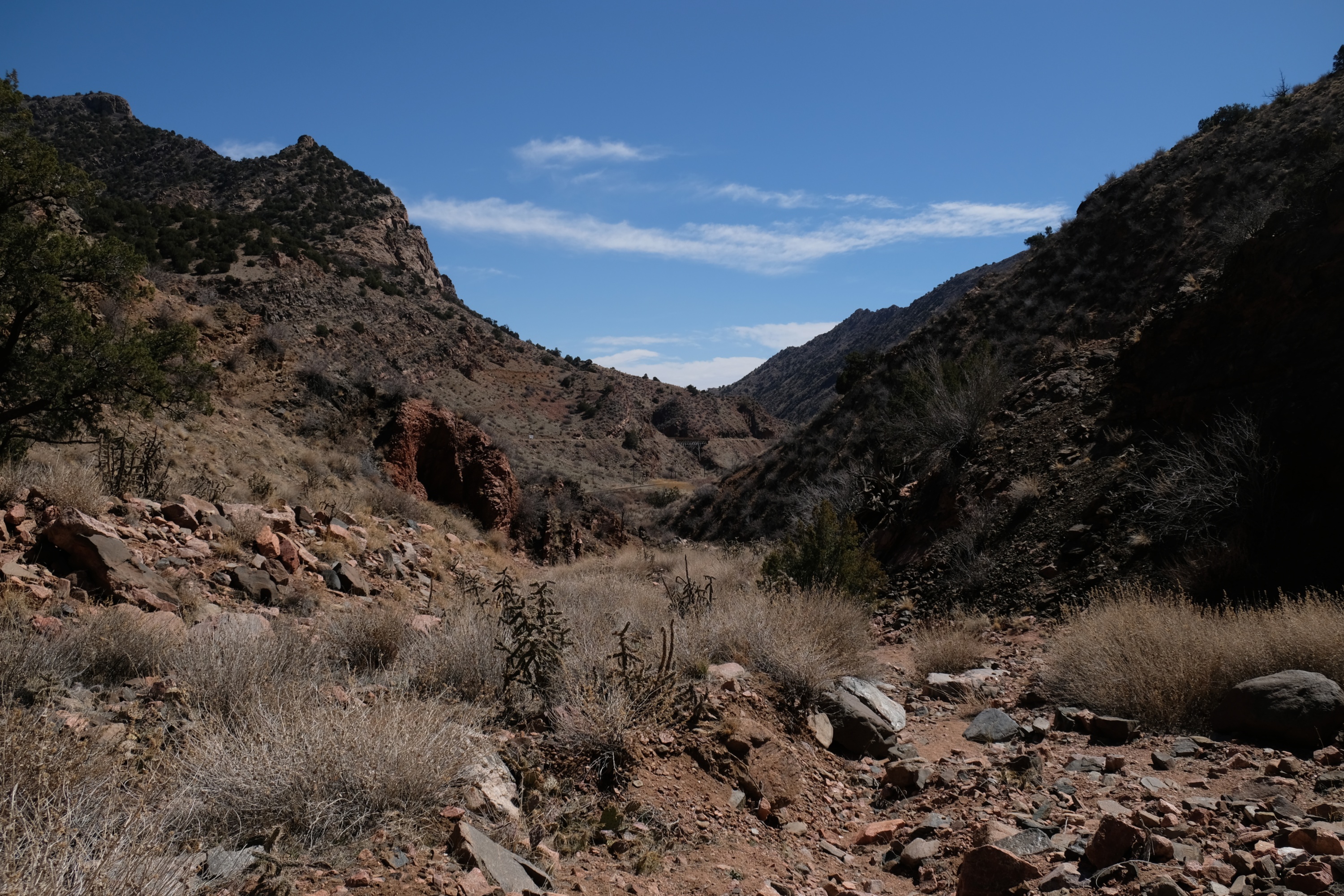
I hiked down an arroyo to the bottom of the canyon. A bit of scrambling in places, and plenty of cacti, but not too bad.
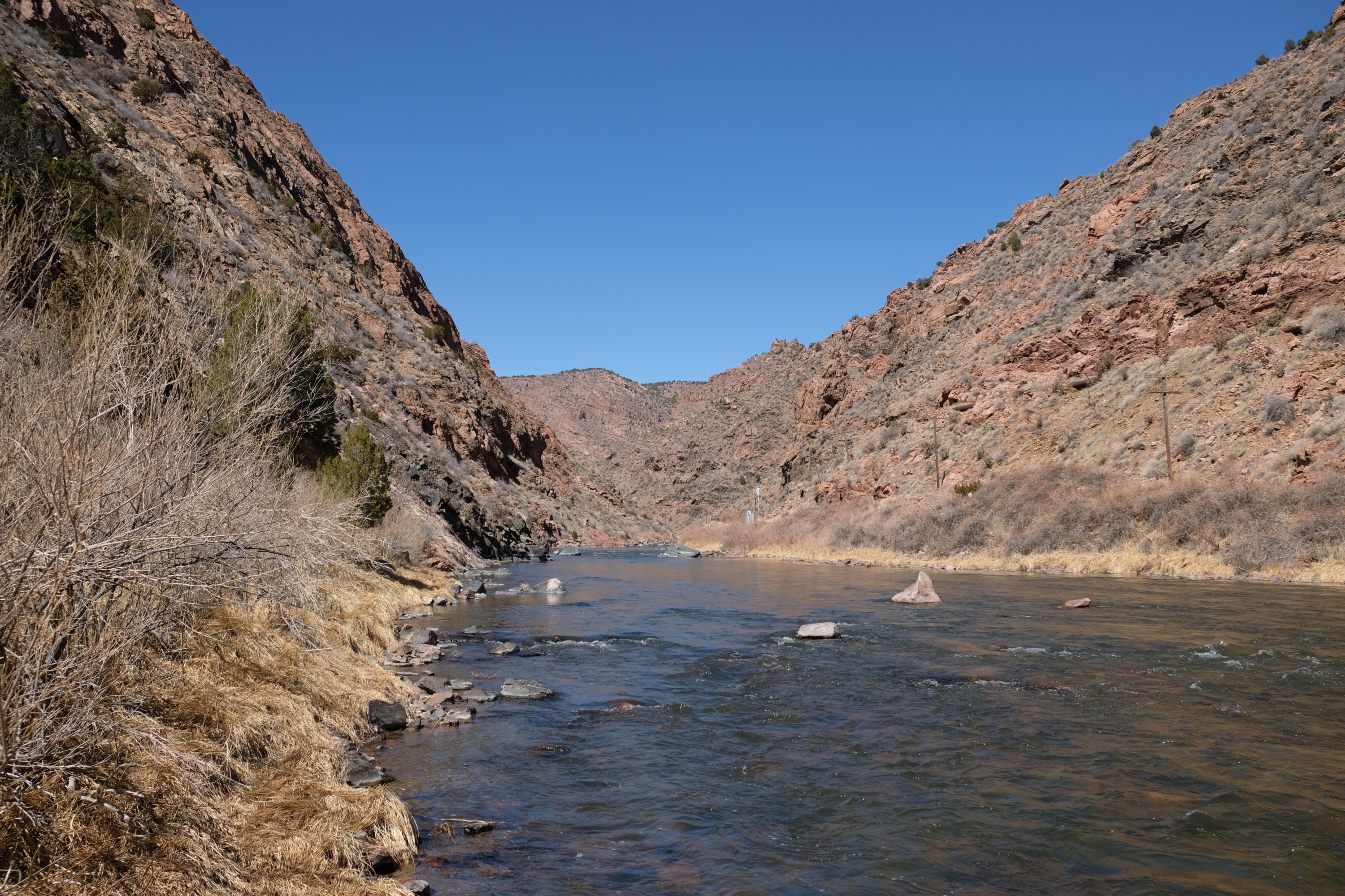
I came out just up river from the end of the Tunnel Drive Trail, but on the south side of the river. From there I hiked up the river (left side of the river as seen in this photo). Not exactly easy going, but workable.
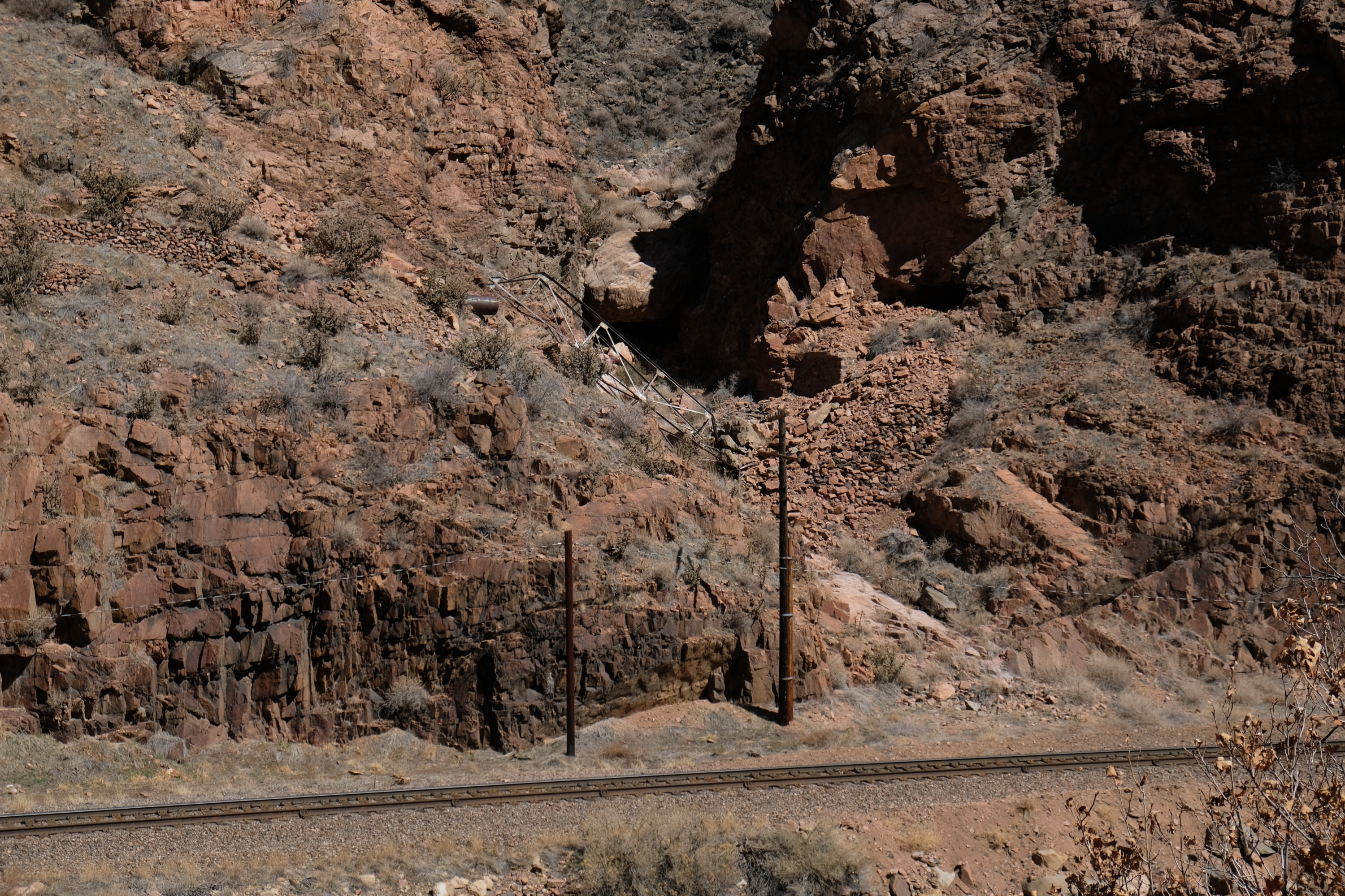
A collapsed bridge on the other side of the river. It used to carry a water pipe that ran down the canyon. But it doesn't get listed on Scary Bridges because, well, I didn't feel like it. And I prefer still-standing bridges, at least still standing when I first photograph them.
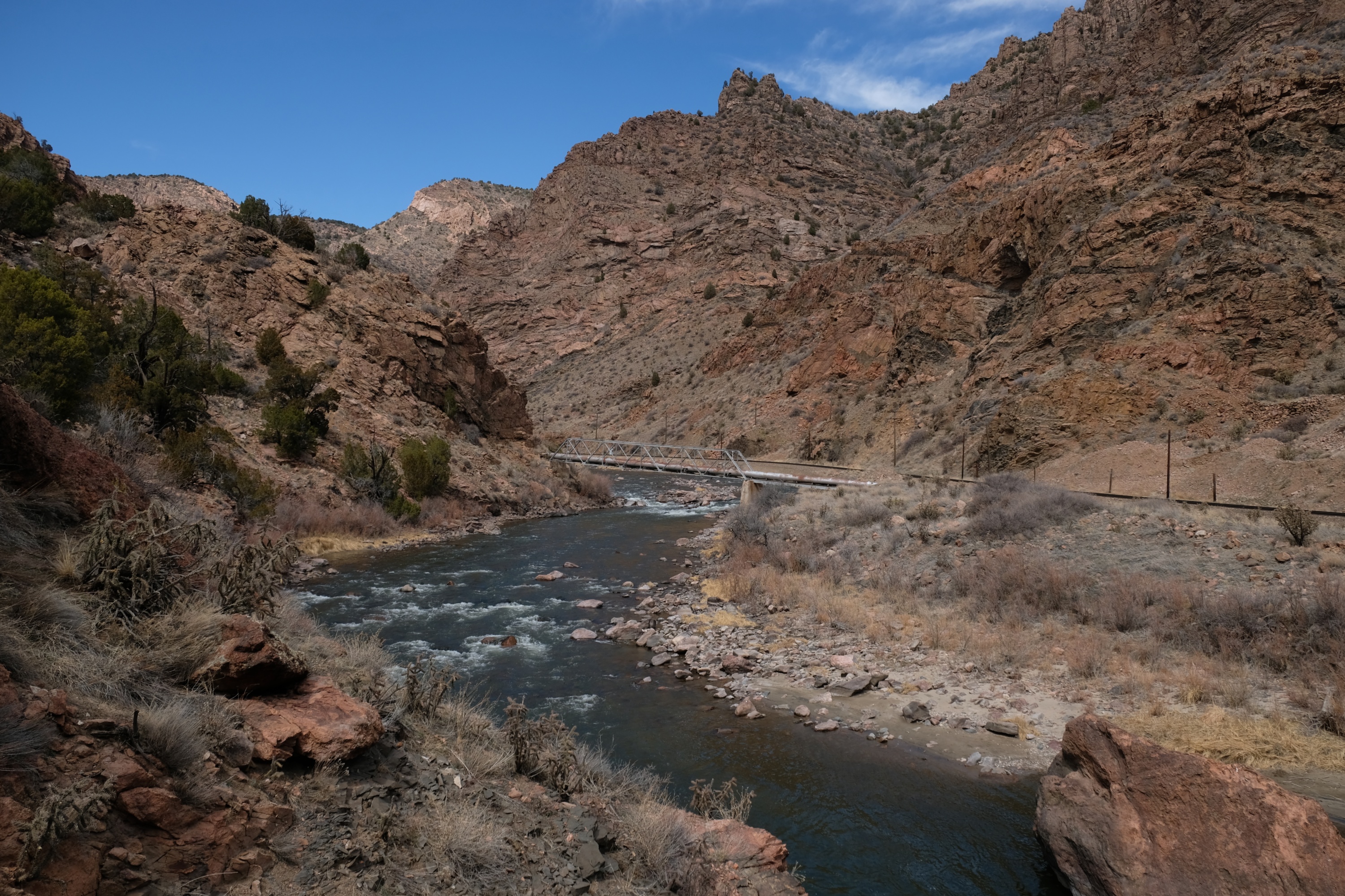
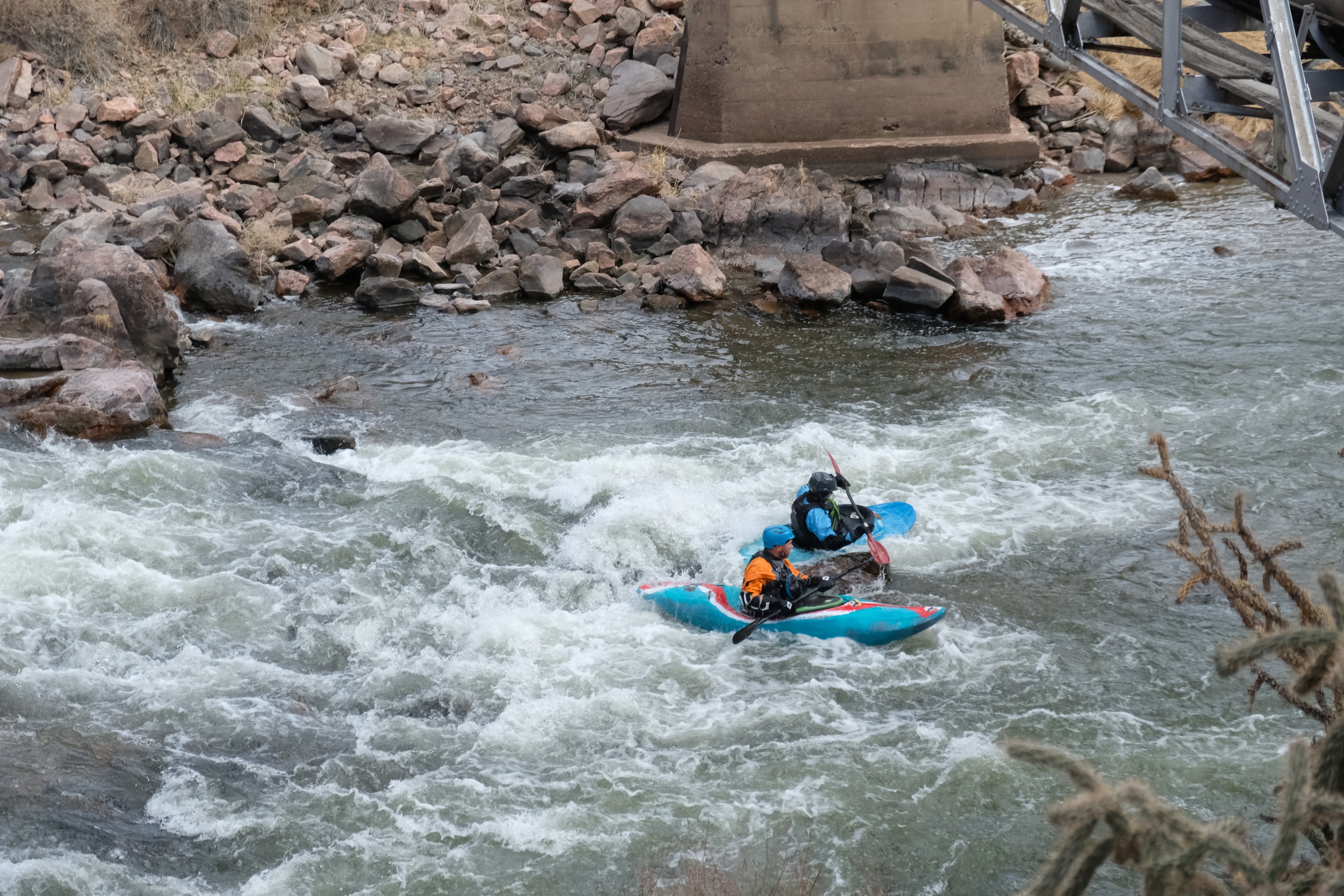
Further up the canyon there is a still-standing pipe bridge across the Arkansas river. Which I plan to list on Scary Bridges.
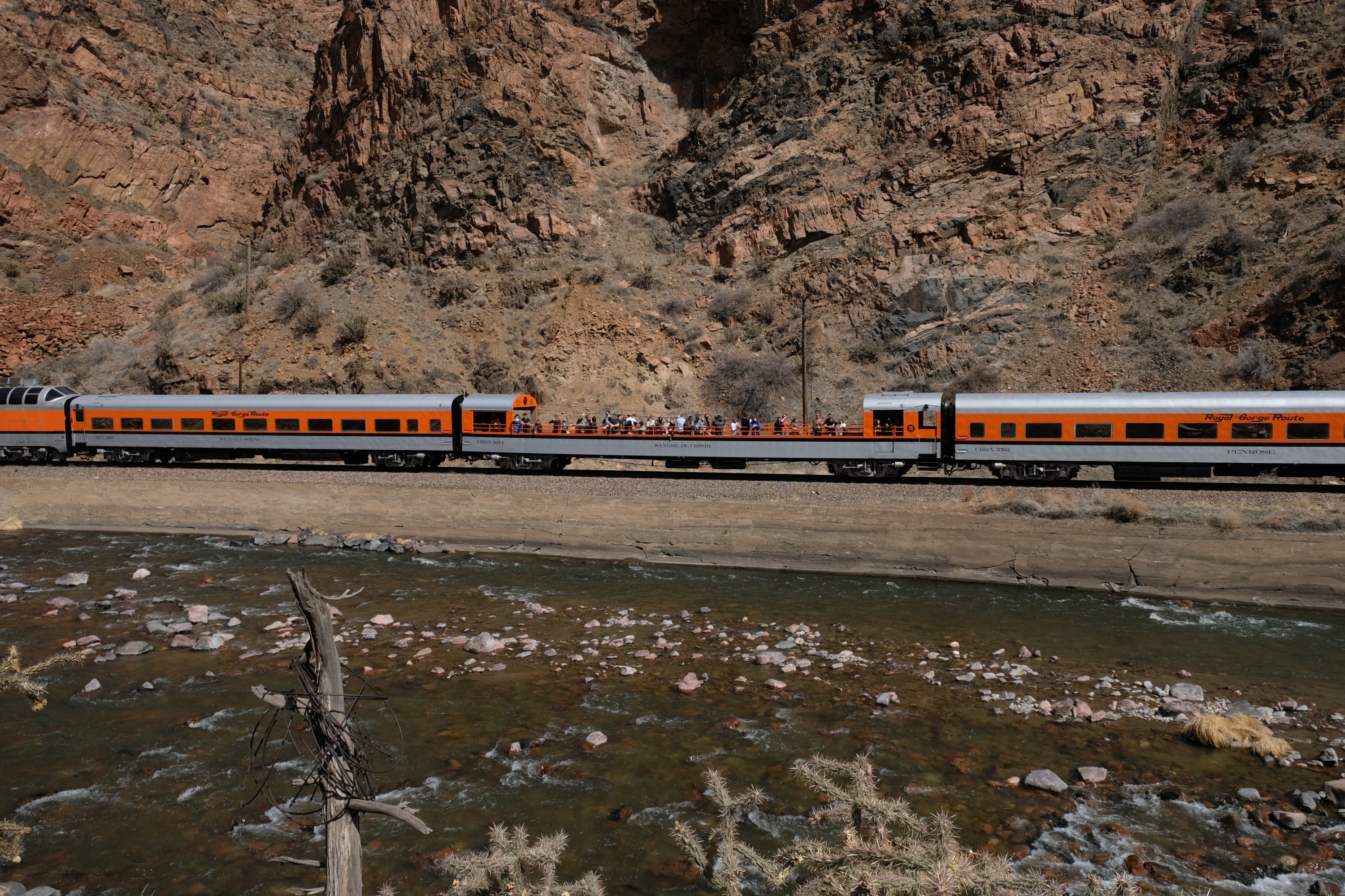
A train coming down the Royal Gorge Route Railroad.
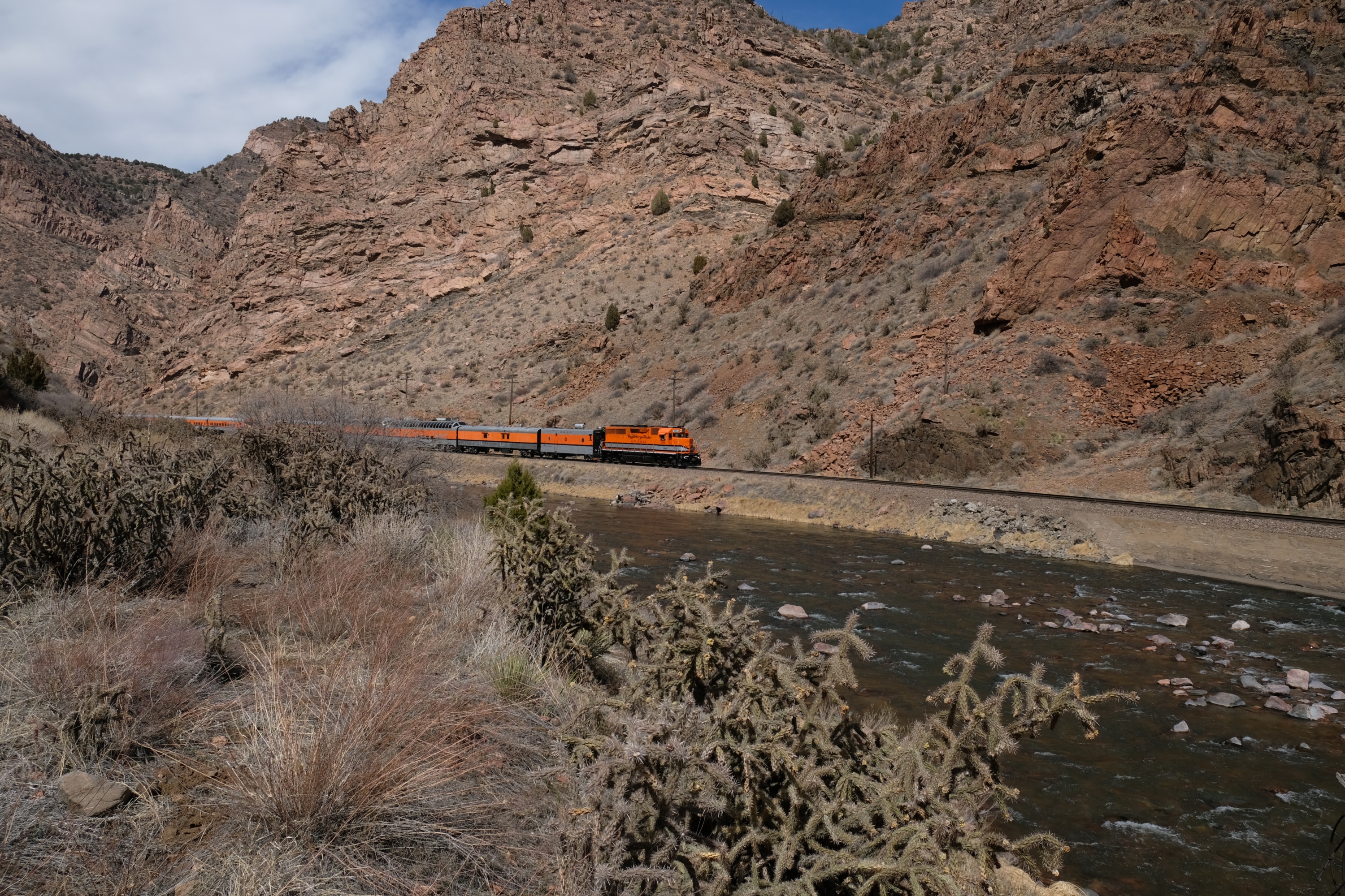
It was unclear if the tourists noticed what fun they were missing by riding the train instead of fighting through cactus and scrambling over rocks while on a steep slope.
I finally reached the curious buildings. Turned out the Royal Gorge Route Railroad built a miniature village for the tourists to enjoy as they pass by. It looks like it is on the site of a former railroad stop.
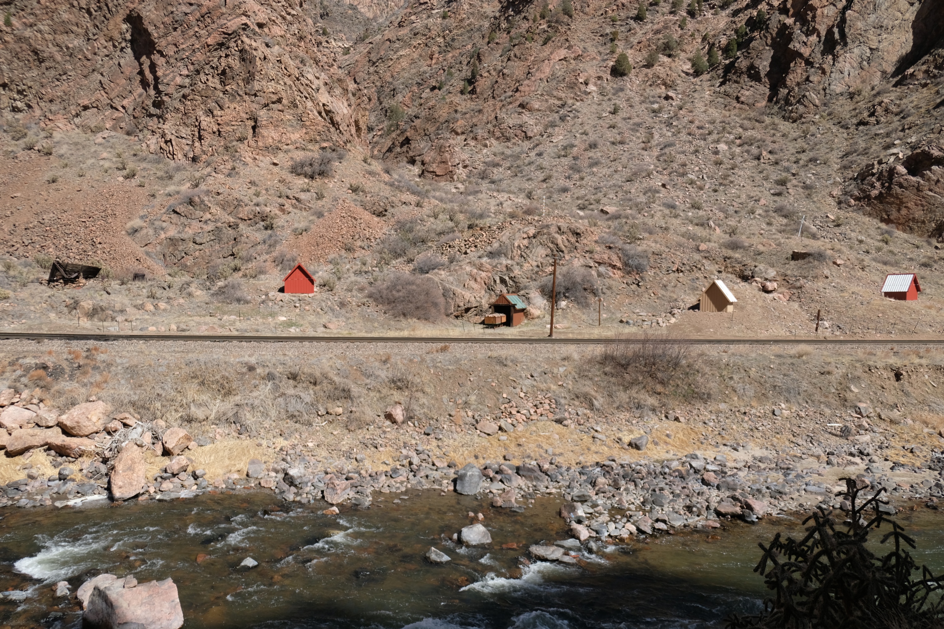
The buildings were smaller (and shorter) than a garden shed, and made for an odd sight. Given the number and small size, I think of it as the Dog House Village.
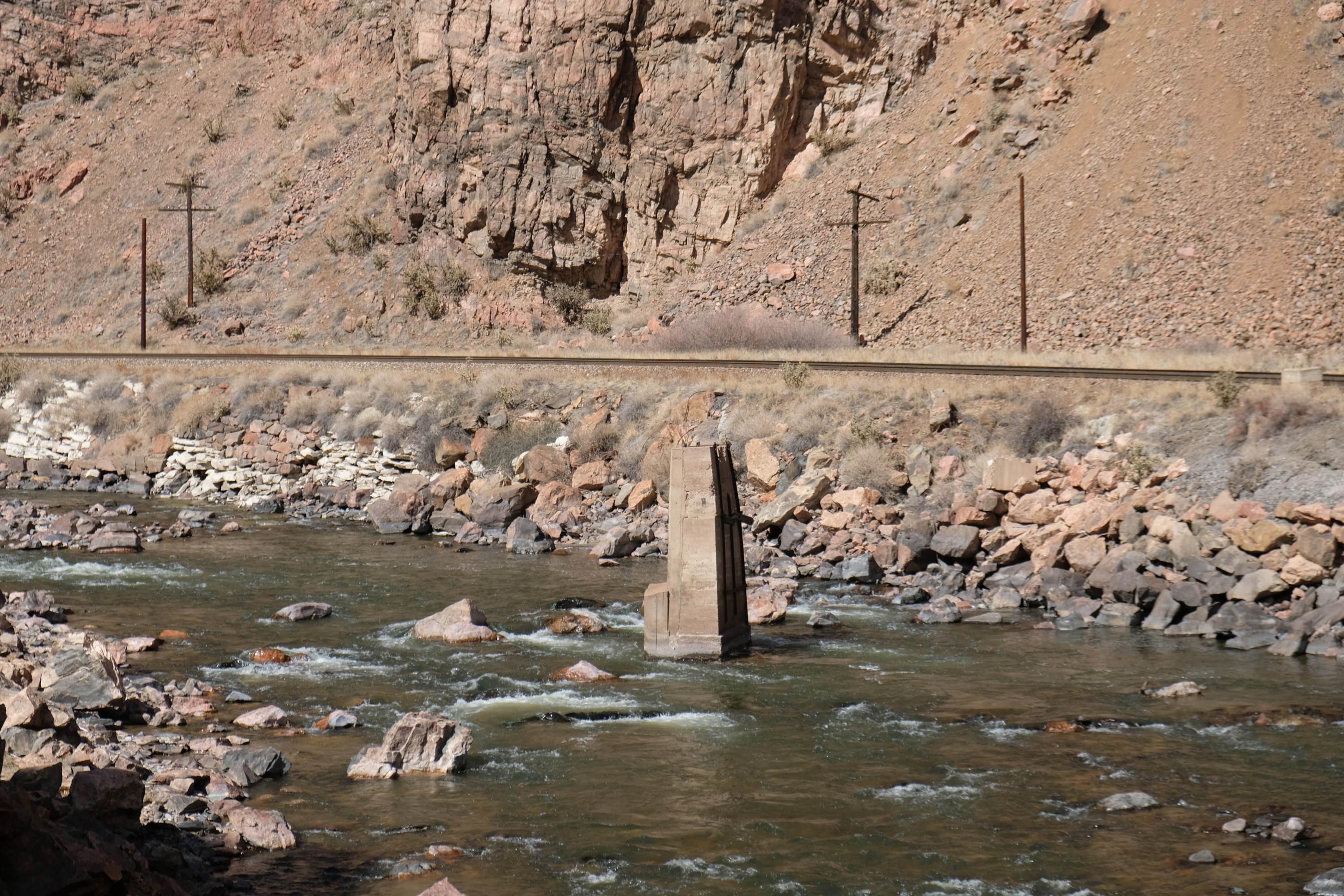
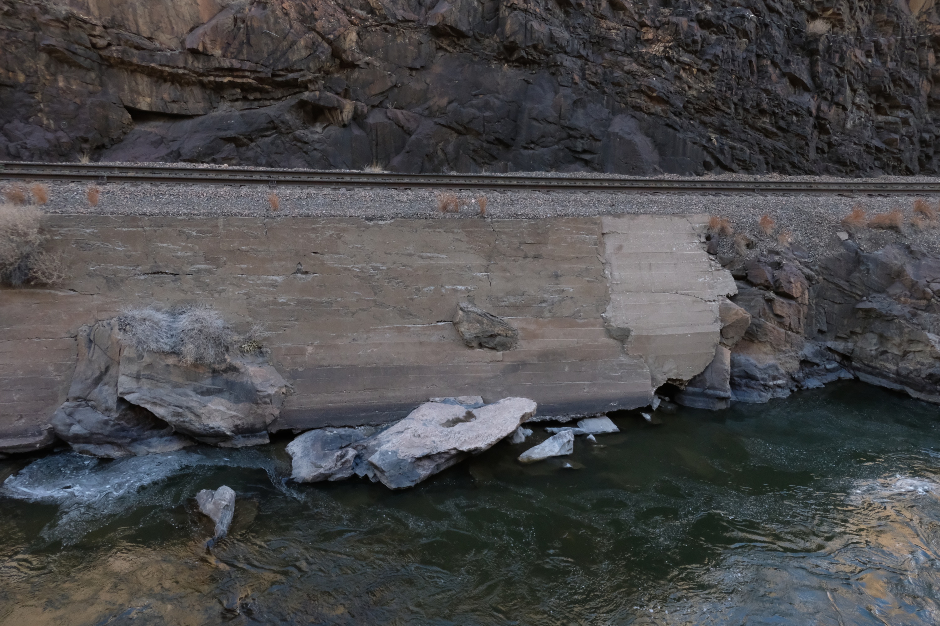
An old pier, possibly from a long-gone bridge. Too bad I couldn't get a picture of that bridge as it collapsed, or was washed away in a flood, or removed, or whatever happened to it.
The canyon narrows just above the Dog House Village, and the river runs between cliffs on both sides. On the south side of the river a notch was carved into the side of the cliff for the old water pipe. It made a workable route to scramble along above the river for a short distance.
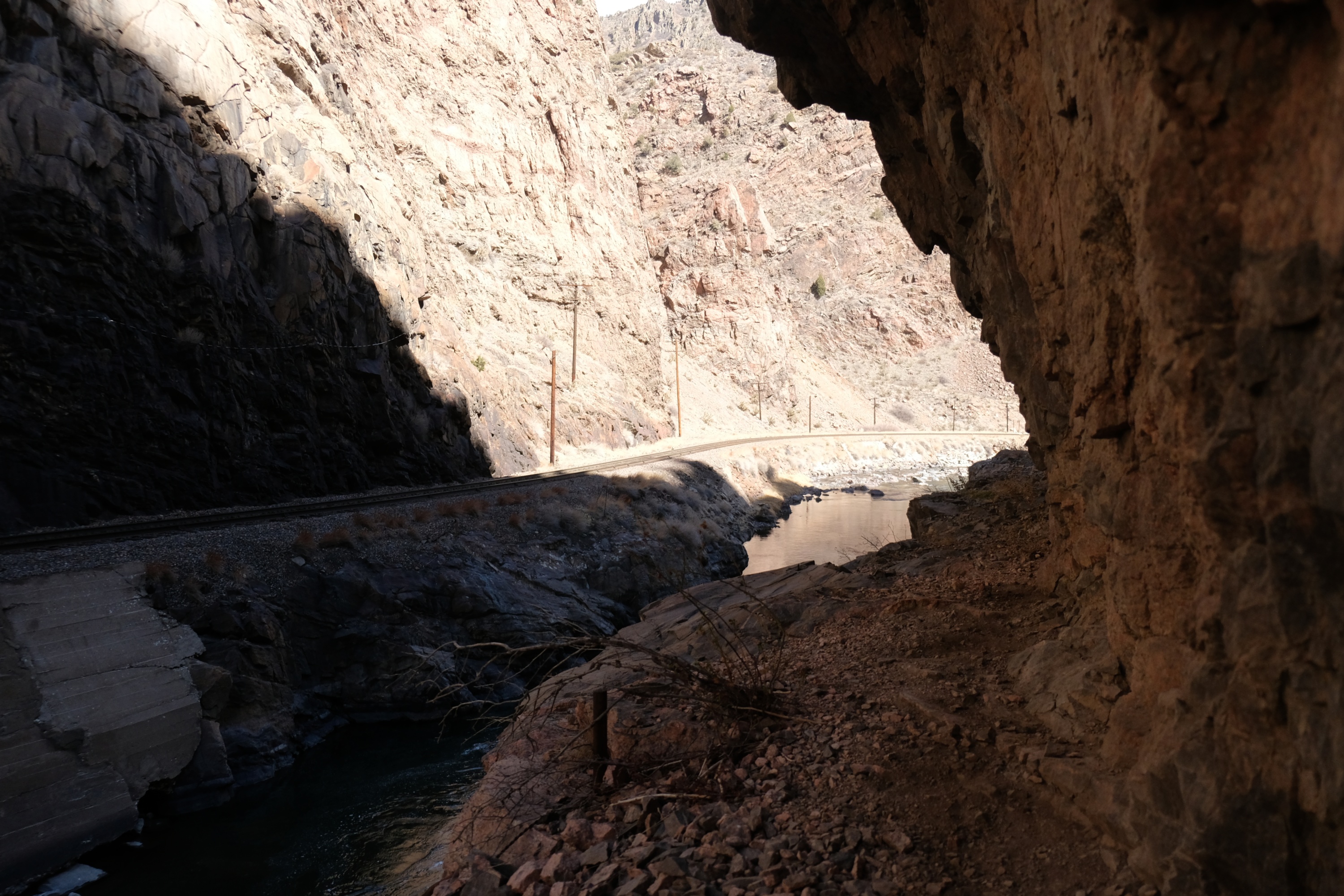
Not far up there the pipe crossed a gap on metal hangers. You have to climb across to continue. If you slip you will fall about 10ft onto rocks in the river below. Then it is a swim in cold and dangerous water until you can climb out, or a rafter fishes you out, or you drown and thus stop swimming. It isn't much of a gap, but safely crossing would have required some sort of belay. Or maybe a rafter waiting below for you to land on if you fall.
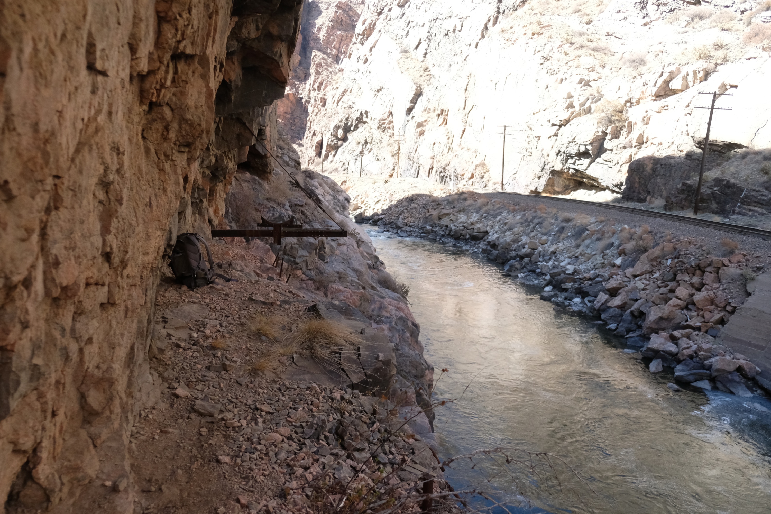
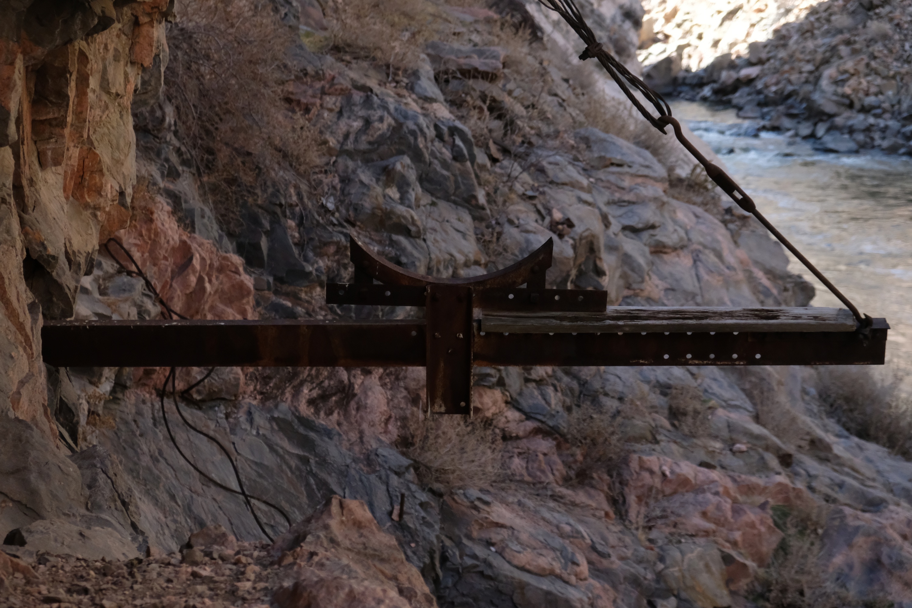
I didn't have the gear for a self belay, and a rafter might not have been welcoming if I fell off the cliff and landed on top of them, so I decide to turn back. It would have been nice to get within site of Royal Gorge Bridge, but it wasn't worth the risk. So I settled for taking a picture of the hanger where the pipe was mounted above the river.
The only other way to hike up canyon is on the active train track on the other side. Please don't do this. Hiking on active train tracks is a really really bad idea. If you want hike through here bring the necessary gear to cross the gap in the pipe notch safely. Or maybe talk the railroad into shutting down for an annual rail bike-and-hike. Or just raft the river instead.
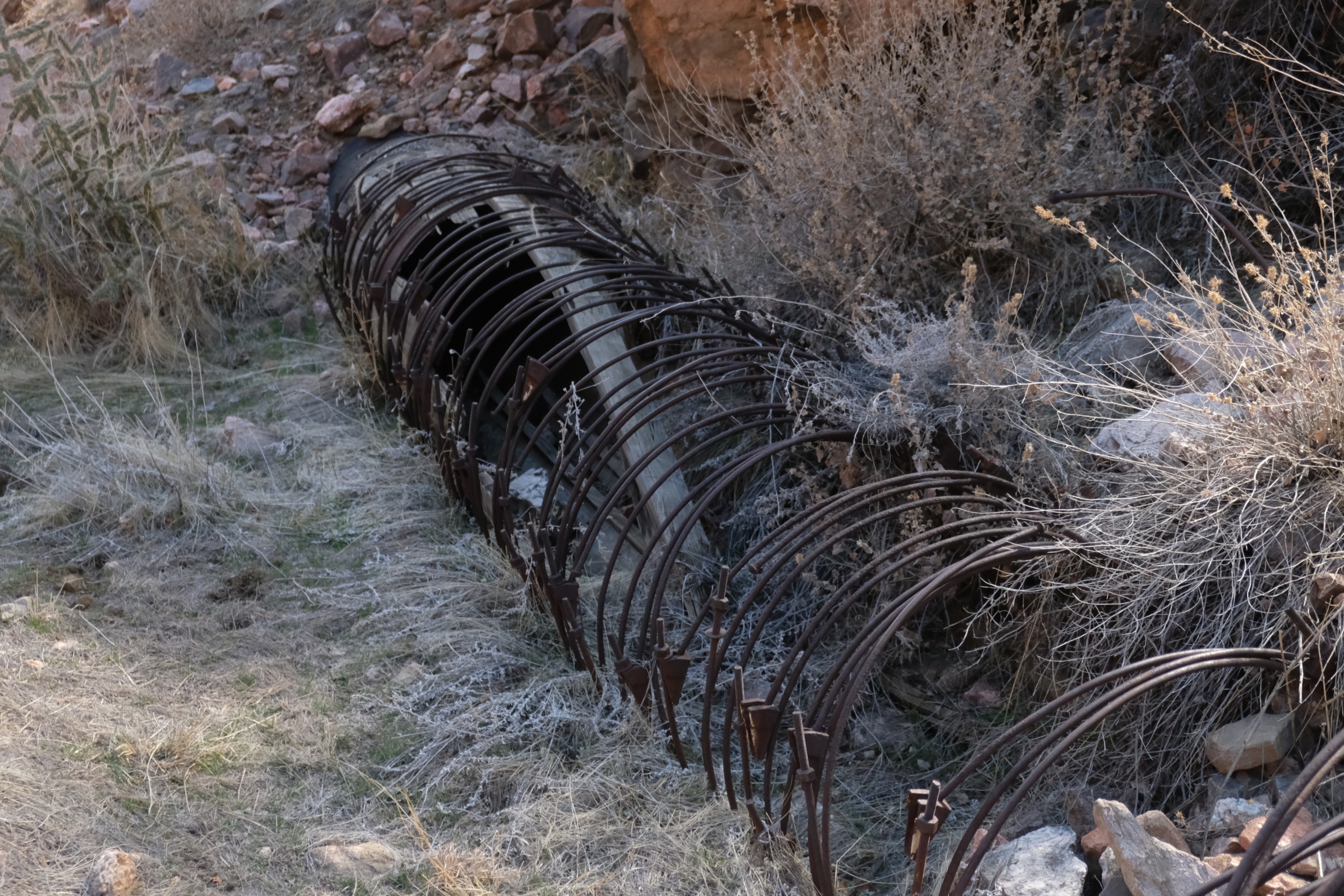
In places the old, falling apart, pipe is still around. It is of similar design to the old steel-belted wooden pipe on my Wonderland Trail backpack, but not in nearly as good of a shape. Odd. I don't know the age of either pipe, but I would expect abandoned wooden pipes to rot faster in western Washington State than in the dry parts of Colorado. Maybe they used different types of wood, or were built and/or abandoned at very different times.
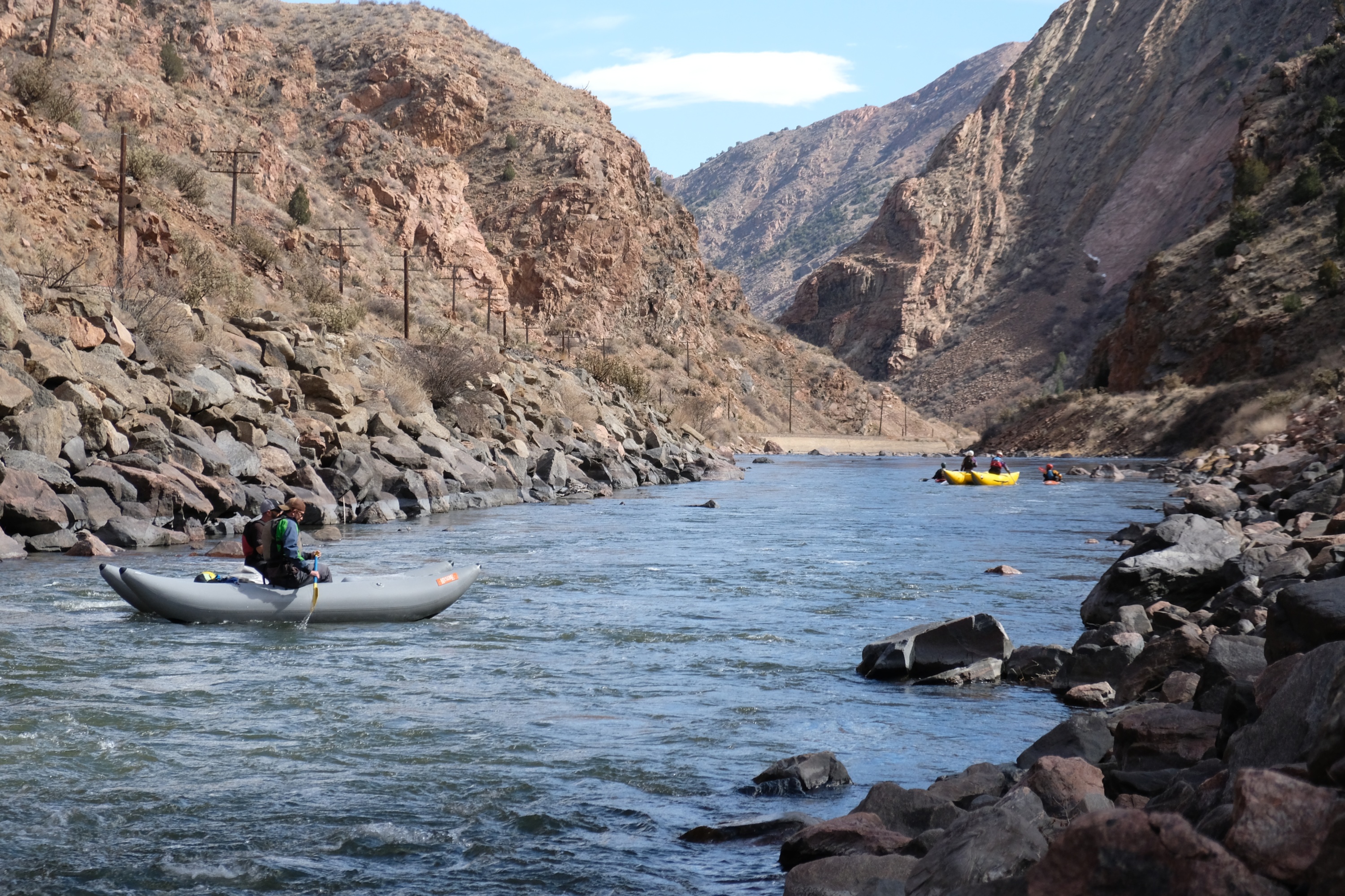
Rafters and kayakers and whatever those are passed by while I was hiking around. I didn't get a chance to ask them how they would feel if I slipped, fell off that cliff, and landed on top of them.
The kayakers seemed to enjoy the rapids under the pipe bridge.
Climbing back out of the canyon out took awhile, but it was a good trip.
Last Updated: September 2026; Original Posting.
© David C. Hunter, 2021-2026
fb {at) dragonsdawn (dot] org

